Lago General Carrera / Lago Buenos Aires
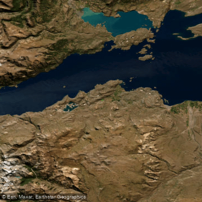
Lago General Carrera / Lago Buenos Aires
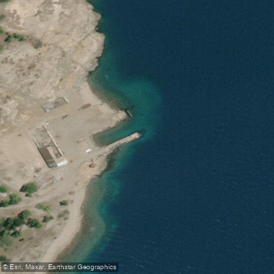
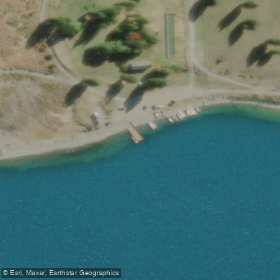
- Boat Ramps
- 2
- Access Points
- 5
- Campsites
- 14
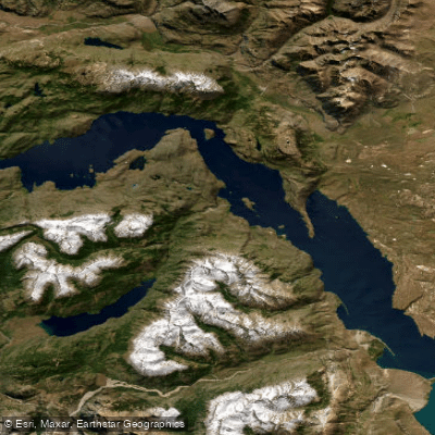
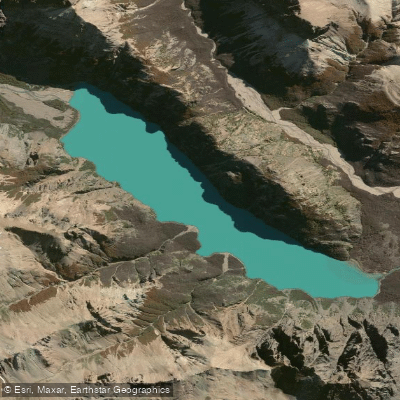
Lago General Carrera, known on the Argentine side as Lago Buenos Aires, is a glacially formed lake straddling the Chile-Argentina border in Patagonia. The Chilean portion lies within the Aysén del General Carlos Ibáñez del Campo Region and covers approximately 970 square kilometres of the lake's total surface area of 1,850 km². The lake sits at an elevation of around 202–217 metres above sea level and reaches a maximum depth of 586 metres in its western basin, making it one of the deepest lakes on the continent. Its waters are characteristically clear and intensely turquoise, surrounded by the Andes and rugged Patagonian terrain.
The lake's indigenous name, Chelenko, translates to "stormy waters" in Aonikenk — a name that reflects one of the most significant hazards for paddlers. The lake is persistently wind-affected, with its open expanse generating strong headwinds and the potential for rapidly deteriorating conditions. Paddlers should treat this as a serious open-water environment requiring sound judgment about weather windows.
The primary paddling attraction on the Chilean side is the Capillas de Mármol (Marble Caves), a series of sculpted marble formations accessible only by boat or kayak from Puerto Río Tranquilo. Approaching these formations by kayak is a popular excursion, offering close access to the cave interiors that motorized tour boats cannot always reach as intimately. Accommodation around Puerto Guadal can also arrange kayaking on the lake, and the town of Puerto Río Tranquilo serves as a key base for water-based access to the marble formations.
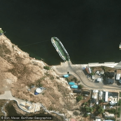
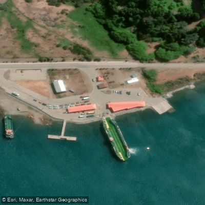
On the Chilean side, the main lakeside settlements providing access points include Puerto Río Tranquilo, Puerto Ingeniero Ibáñez, Chile Chico, Bahía Murta, and Puerto Guadal. A car ferry connects Puerto Ingeniero Ibáñez to Chile Chico, which can be relevant for paddlers planning point-to-point logistics. The Carretera Austral, completed in the 1990s, provides road access along the Chilean shore and connects these communities to the broader region.
The lake drains westward via Bertrand Lake into the Río Baker, Chile's highest-volume river, which flows to the Pacific. Primary inflows on the Chilean side include the Ríos Ibáñez, Murta, Tranquilo, and Leones. The lake is classified as oligotrophic, indicating low nutrient levels and high water clarity. It never freezes.
Water access, boat ramps & amenities
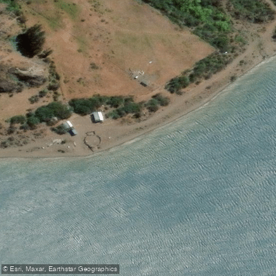
Learn how to get on Lago General Carrera / Lago Buenos Aires. Uncover great paddling access points, boat ramps, and all the facilities you need for an unforgettable day on the water. Some locations shown may border or include private property. Always check property boundaries and applicable regulations before visiting. PaddleWays's Public & Private Land layer can help you plan your access with confidence.
Paddle smarter with real-time insights
Whether you're en route and conditions shift or you're looking for the best spot based on current flows, we enable you to make informed decisions on the fly.







Aysén licenses and regulations
No licenses or regulations available for Aysén.
Find Places to Paddle

Over 400,000 Places to Paddle
Every user gets free access to launch points, boat ramps, and public property parcels.


Water and weather conditions (10 day forecast)
See the best times to paddle Lago General Carrera / Lago Buenos Aires and check the forecast before you go.
Lago Buenos Aires - Los Antigu
All Flow Stations
Paddling near Lago General Carrera / Lago Buenos Aires
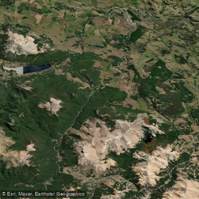
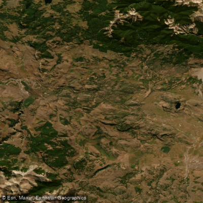
Explore Aysén waters
Top paddling waters
No waters available right now.
Popular Cities
Loading popular cities...
Explore near Lago General Carrera / Lago Buenos Aires
Access points
Nearby waters
More in Aysén

Smarter Paddling Starts in the App.
Paddleways gives you everything you need to plan smarter, paddle better, and own every trip from first launch to takeout.