Río Itata
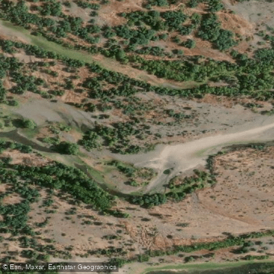
Río Itata
- Boat Ramps
- 0
- Access Points
- 0
- Campsites
- 0
The Río Itata flows approximately 140 kilometers westward through the Ñuble Region of south-central Chile, originating at the confluence of the Cholguán and Huépil rivers in the Andean Precordillera before emptying into the Pacific Ocean near Coelemu, roughly 60 kilometers north of Concepción. The river drains a basin of about 11,294 square kilometers, encompassing Andean headwaters that reach elevations up to 3,212 meters near Nevados de Chillán, the broad Central Valley, and the Coastal Range.
The river follows a pluvial hydrological regime, with peak flows occurring in winter between May and August and low flows during summer from January through March. Average annual precipitation across the basin is around 1,000 millimeters. Recorded average discharge varies widely, between 6 and 700 cubic meters per second, reflecting the significant seasonal variation paddlers should account for when planning a trip. High winter flows may present substantially different conditions than the reduced summer flows.
The river traverses agricultural valleys and viticultural zones, passing near towns including Chillán, Yungay, Quillón, Portezuelo, Trehuaco, and Coelemu. The mouth area near Trehuaco is noted for coastal wetlands and migratory bird habitat. Historically, the Itata marked the boundary between the Mapuche people to the south and the Picunche to the north prior to the Spanish conquest of Chile, giving the river considerable cultural significance in the region.
Given the wide discharge range and the river's length and gradient transitioning from Andean foothills through the central valley to the coast, conditions will vary considerably along different sections. Paddlers should research current flow levels and specific section characteristics before committing to a trip, particularly during the high-flow winter months.
Water access, boat ramps & amenities
Learn how to get on Río Itata. Uncover great paddling access points, boat ramps, and all the facilities you need for an unforgettable day on the water. Some locations shown may border or include private property. Always check property boundaries and applicable regulations before visiting. PaddleWays's Public & Private Land layer can help you plan your access with confidence.
Paddle smarter with real-time insights
Whether you're en route and conditions shift or you're looking for the best spot based on current flows, we enable you to make informed decisions on the fly.







Biobío licenses and regulations
No licenses or regulations available for Biobío.
Find Places to Paddle

Over 400,000 Places to Paddle
Every user gets free access to launch points, boat ramps, and public property parcels.


Water and weather conditions (10 day forecast)
See the best times to paddle Río Itata and check the forecast before you go.
Rio Itata En Cholguan
All Flow Stations
Paddling near Río Itata
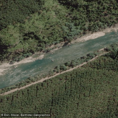
Río Ñuble
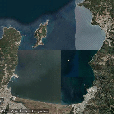
Bahía de Concepción
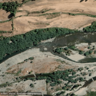
Río Diguillín
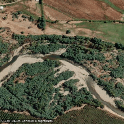
Río Cato
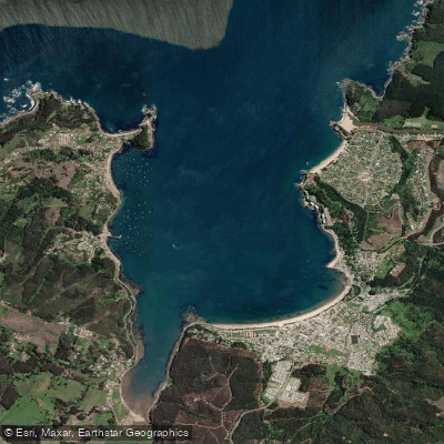
Bahía de Coliumo
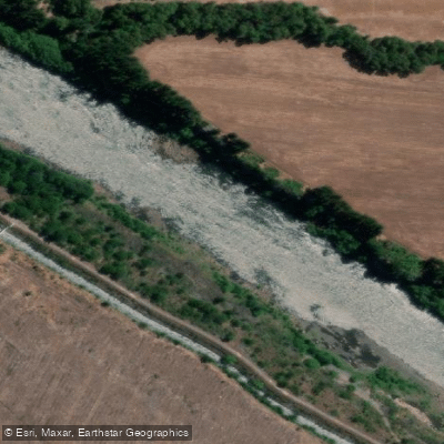
Río Biobío
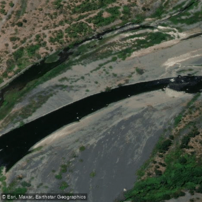
Río Laja
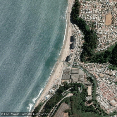
Playa Bellavista
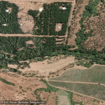
Río Lonquén
Explore Biobío waters
Top paddling waters
No waters available right now.
Popular Cities
Loading popular cities...
Explore near Río Itata

Smarter Paddling Starts in the App.
Paddleways gives you everything you need to plan smarter, paddle better, and own every trip from first launch to takeout.