Río Duqueco
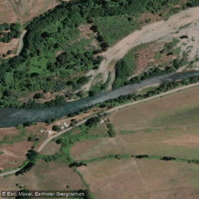
Río Duqueco
- Boat Ramps
- 0
- Access Points
- 0
- Campsites
- 0
The Río Duqueco originates in the Sierra Velluda in Chile's Biobío Region and flows generally westward for approximately 120 kilometers before joining the Río Biobío on its right bank near the town of Negrete. The river drains a watershed of roughly 1,350 km², with a mean discharge of around 60 m³/s, making it a river of substantial and relatively consistent volume.
In its upper reaches, the river passes through mountainous terrain with steep valley sides and broken ground before descending onto the central plain southeast of Los Ángeles, where the banks flatten and the current moderates. This transition from a more confined, faster-moving upper section to a broader, calmer lower section gives the river a notably different character depending on where one paddles. The river traverses the comunas of Quilleco, Santa Bárbara, and Los Ángeles along its course.
The watershed is divided into five sub-basins, with the largest segment — between Estero Quilleco and Río Coreo — covering over 57,000 hectares. Several tributaries join the Duqueco along its length, including Rucanahuel, Villucura, Quilleco, Curiche, and Paillihue. Near its headwaters, the area around San Lorenzo is noted for mineral waters. The river ultimately splits into two channels before reaching the Río Biobío opposite Negrete.
The river falls under Chile's secondary environmental quality standards for the protection of continental surface waters of the Río Biobío basin, which establishes a regulatory framework for water quality in the watershed. Beyond this framework, no specific paddling restrictions or access point details have been documented, and paddlers planning a trip should verify local access conditions and any applicable regulations before launching.
Water access, boat ramps & amenities
Learn how to get on Río Duqueco. Uncover great paddling access points, boat ramps, and all the facilities you need for an unforgettable day on the water. Some locations shown may border or include private property. Always check property boundaries and applicable regulations before visiting. PaddleWays's Public & Private Land layer can help you plan your access with confidence.
Paddle smarter with real-time insights
Whether you're en route and conditions shift or you're looking for the best spot based on current flows, we enable you to make informed decisions on the fly.







Biobío licenses and regulations
No licenses or regulations available for Biobío.
Find Places to Paddle

Over 400,000 Places to Paddle
Every user gets free access to launch points, boat ramps, and public property parcels.


Water and weather conditions (10 day forecast)
See the best times to paddle Río Duqueco and check the forecast before you go.
Rio Duqueco En Cerrillos
All Flow Stations
Paddling near Río Duqueco
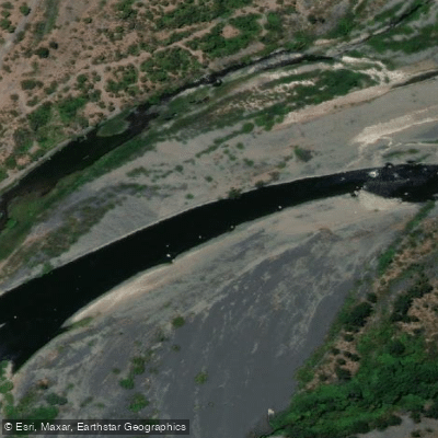
Río Laja
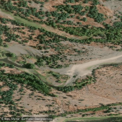
Río Itata
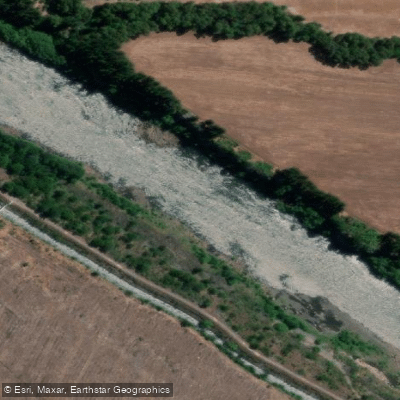
Río Biobío
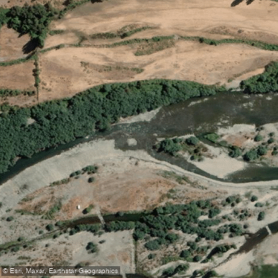
Río Diguillín
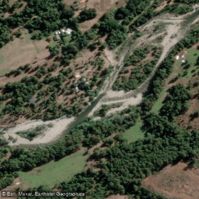
Río Huequecura
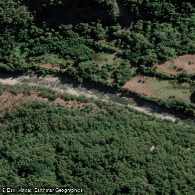
Río Cholguán
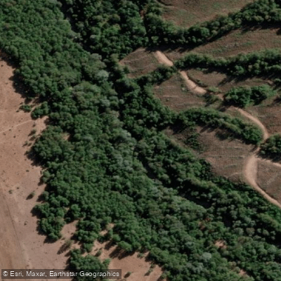
Río Cañicura
Estero Quilque
Río Queuco
Explore Biobío waters
Top paddling waters
No waters available right now.
Popular Cities
Loading popular cities...
Explore near Río Duqueco

Smarter Paddling Starts in the App.
Paddleways gives you everything you need to plan smarter, paddle better, and own every trip from first launch to takeout.