Río Cholguán
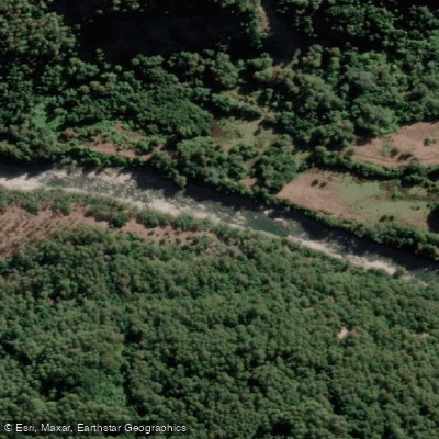
Río Cholguán
- Boat Ramps
- 0
- Access Points
- 0
- Campsites
- 1
The Río Cholguán is a free-flowing winter and spring run in Chile's 8th Region, draining the peaks of Cordón Infiernillo (1,972 m), Blanquillo (1,780 m), and Cordón Cholguán (2,148 m). It forms the border between Provincia Biobío and Ñuble. The name derives from a Mapuche word meaning "clam." In early season the river is fed by snowmelt, transitioning to rain-fed flows later in the season.
The run is continuous Class 3 with wave trains throughout. The described route begins on the small tributary Río Congrejo, where flows start around 100 CFS. After joining a branch of the Cholguán, flows increase to approximately 350 CFS, and within another 1–2 km additional branches converge to bring the total to around 700 CFS for the remainder of the trip. The total run length is 13.4 km to the takeout at the confluence of the Río Cholguán and Río Congrejo.
To reach the put-in from Ruta 5 in Los Angeles, take the road toward Antuco (Río Laja) for 30 km, then head north 43 km to the town of Yungay. From Yungay, travel east on paved road (Calle Angamos) for 12.5 km, where the road turns to gravel. At km 21.3, turn right toward Santa Lucía and follow the road down to the valley floor. The put-in is at a small bridge over the tributary Río Congrejo. A riverside camp is available approximately 2.2 km above the takeout.
One notable consideration for trip planning is a hydroelectric diversion project called Proyecto El Pinar, which was under construction just upstream of the put-in at the time of the report. It was unclear whether this project would affect future boating conditions, so paddlers should verify the current status of this project before planning a trip.
Water access, boat ramps & amenities
Learn how to get on Río Cholguán. Uncover great paddling access points, boat ramps, and all the facilities you need for an unforgettable day on the water. Some locations shown may border or include private property. Always check property boundaries and applicable regulations before visiting. PaddleWays's Public & Private Land layer can help you plan your access with confidence.
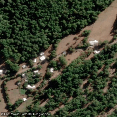
Paddle smarter with real-time insights
Whether you're en route and conditions shift or you're looking for the best spot based on current flows, we enable you to make informed decisions on the fly.







Biobío licenses and regulations
No licenses or regulations available for Biobío.
Find Places to Paddle

Over 400,000 Places to Paddle
Every user gets free access to launch points, boat ramps, and public property parcels.


Water and weather conditions (10 day forecast)
See the best times to paddle Río Cholguán and check the forecast before you go.
No forecast data available.
Paddling near Río Cholguán
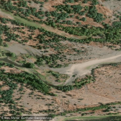
Río Itata
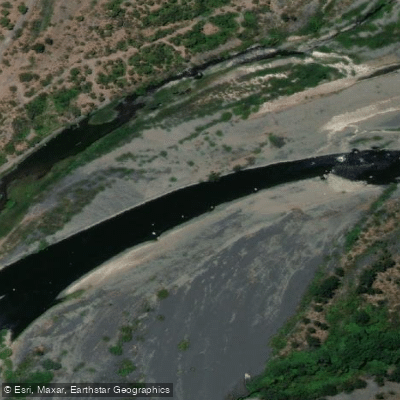
Río Laja
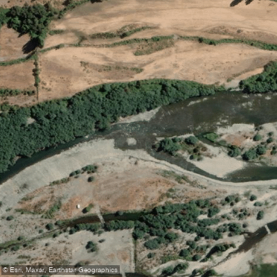
Río Diguillín
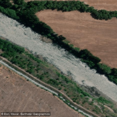
Río Biobío
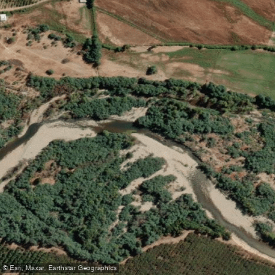
Río Cato
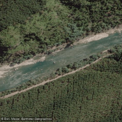
Río Ñuble
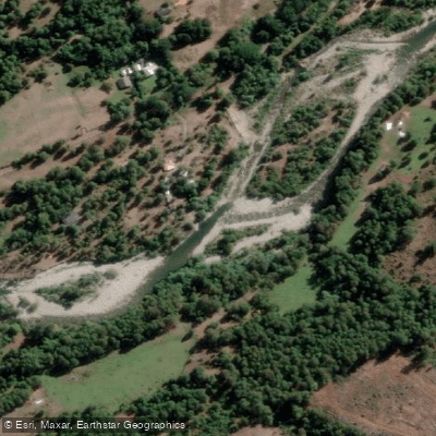
Río Huequecura
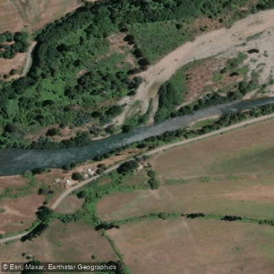
Río Duqueco
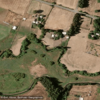
Estero Quilque
Explore Biobío waters
Top paddling waters
No waters available right now.
Popular Cities
Loading popular cities...
Explore near Río Cholguán
Access points
Nearby waters
More in Biobío

Smarter Paddling Starts in the App.
Paddleways gives you everything you need to plan smarter, paddle better, and own every trip from first launch to takeout.