Lago Puyehue
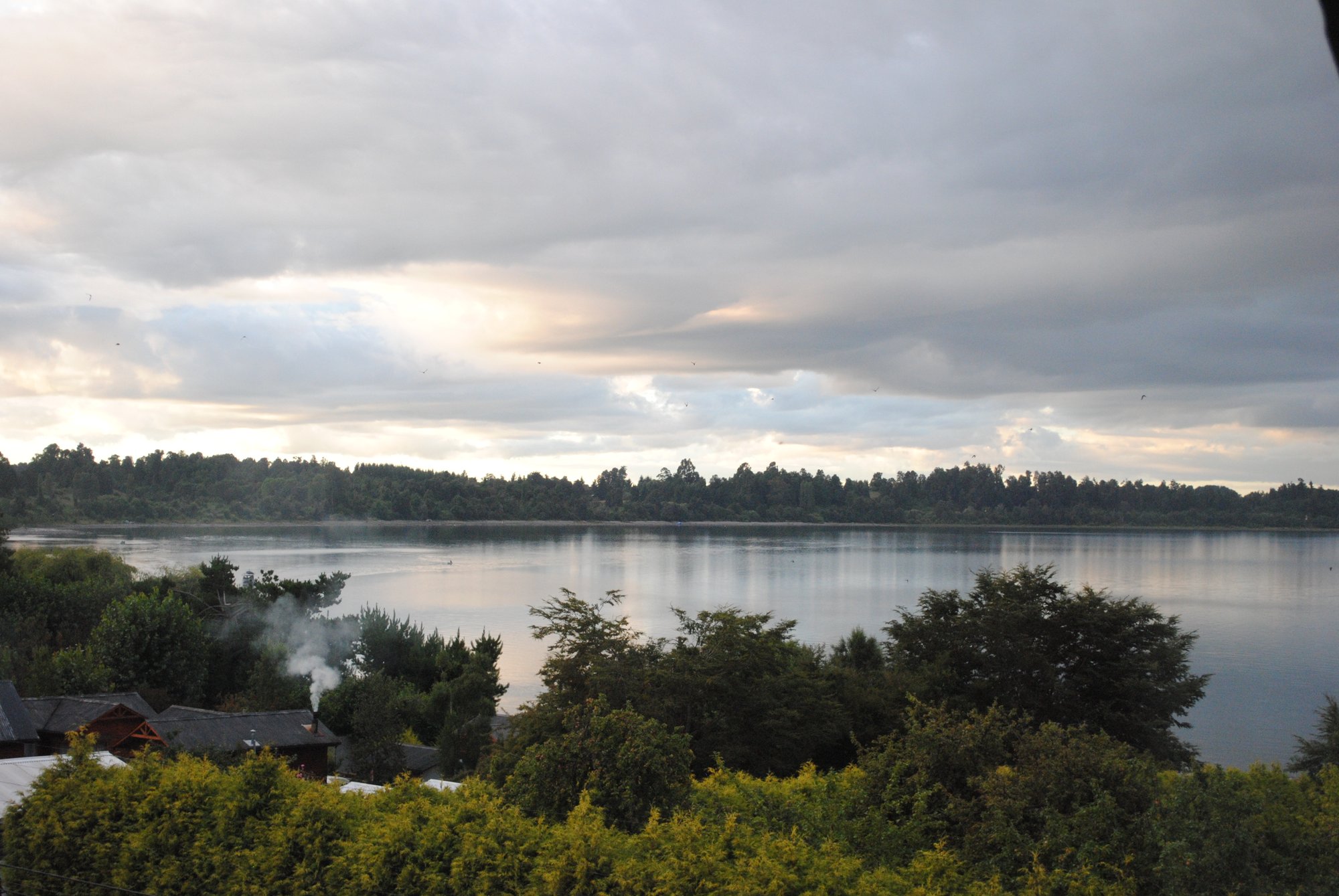
Lago Puyehue
- Boat Ramps
- 0
- Access Points
- 2
- Campsites
- 8
Lago Puyehue is an Andean piedmont lake situated on the border of Los Lagos Region and Los Ríos Region in southern Chile, within the Osorno and Ranco provinces. The lake measures 23 km in length and 11.5 km at its widest point, covering a surface area of 165.4 km². It sits at an elevation of 188 m above sea level, with an average depth of 76 m and a maximum depth of 123 m, holding a water volume of approximately 12.6 km³. The Gol-Gol River is its primary inflow, while the Pilmaiquén River serves as its outflow.
The main access point to the lake is via the town of Entre Lagos, a small settlement at the western end of the lake reached by a paved road heading east from Ruta 5, directly opposite Osorno city, approximately 47 km from the highway. From Entre Lagos, a road follows the southern shore eastward toward Nilque, which serves as a reference point along the route. The lake's name derives from Mapudungun, combining "puye" (small fish) and "hue" (place), reflecting the area's indigenous cultural heritage.
Kayaking and recreational fishing are explicitly noted as activities on the lake. The surrounding landscape is dominated by Andean Valdivian temperate rainforest, with Puyehue Volcano visible in the background. The broader area falls within or adjacent to Puyehue National Park, which protects over 107,000 hectares of forest, and the region is known for significant geothermal activity. Nearby attractions relevant to paddlers planning a visit include the Termas de Aguas Calientes hot springs, located before the national park entrance, and the Termas de Puyehue thermal center further along the southern shore road.
The climate in this area features rain throughout the year, with temperatures that oscillate between day and night. Aquatic sports are described as the most popular activity in the region. The lake is not characterized as a primary tourist destination in its own right, but it serves as a gateway to the national park and as a stop along the international route connecting Osorno to the Argentine border and onward to Bariloche via the Cardenal Antonio Samoré pass.
Water access, boat ramps & amenities
Learn how to get on Lago Puyehue. Uncover great paddling access points, boat ramps, and all the facilities you need for an unforgettable day on the water. Some locations shown may border or include private property. Always check property boundaries and applicable regulations before visiting. PaddleWays's Public & Private Land layer can help you plan your access with confidence.
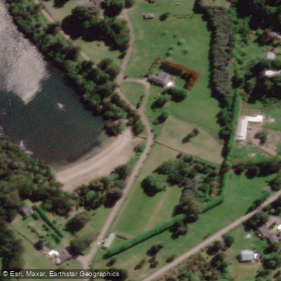
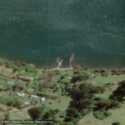
Paddle smarter with real-time insights
Whether you're en route and conditions shift or you're looking for the best spot based on current flows, we enable you to make informed decisions on the fly.







Los Lagos licenses and regulations
No licenses or regulations available for Los Lagos.
Find Places to Paddle

Over 400,000 Places to Paddle
Every user gets free access to launch points, boat ramps, and public property parcels.


Water and weather conditions (10 day forecast)
See the best times to paddle Lago Puyehue and check the forecast before you go.
No forecast data available.
Paddling near Lago Puyehue
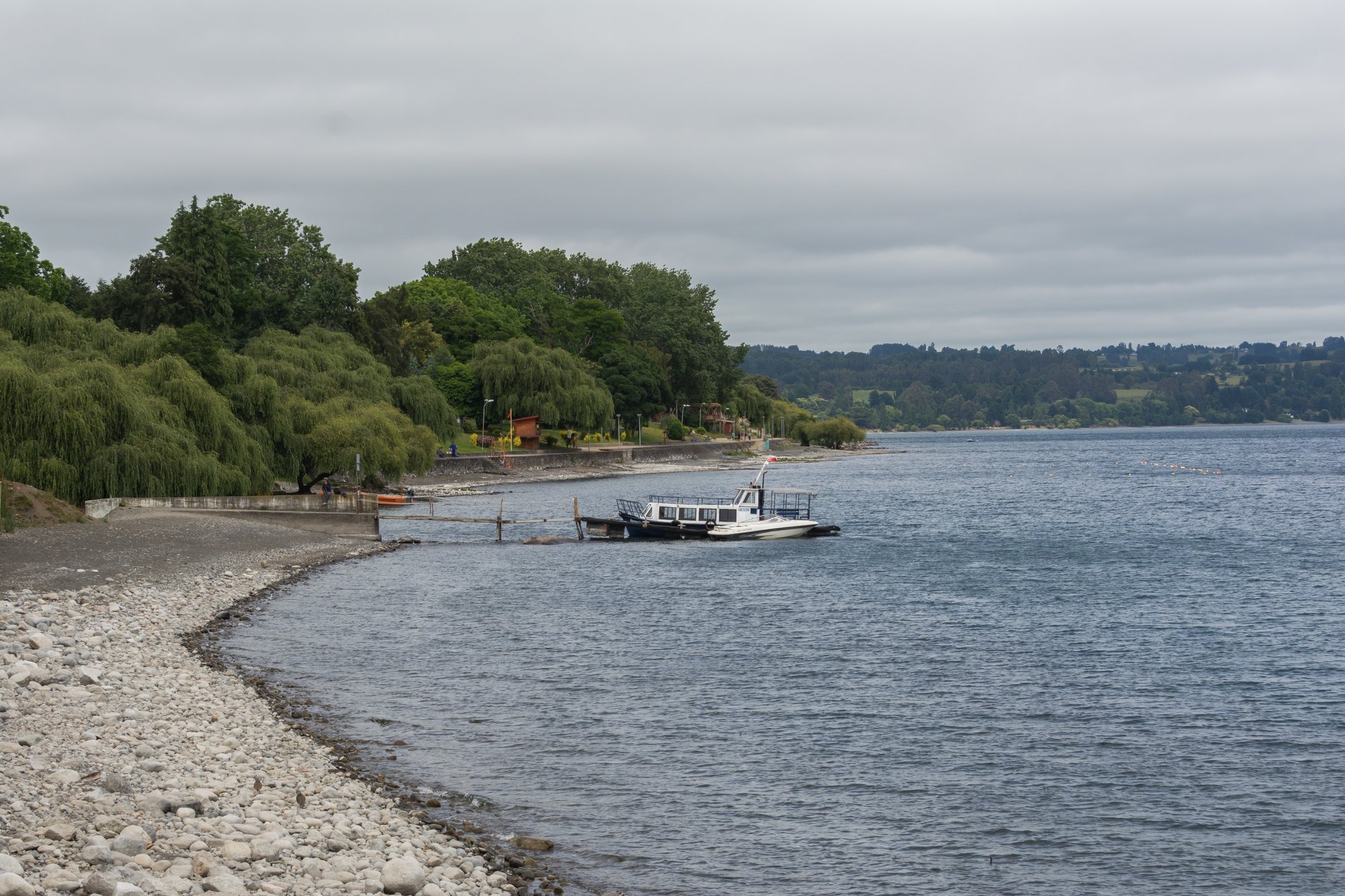
Lago Ranco
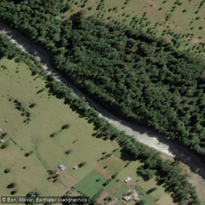
Río Nilahue
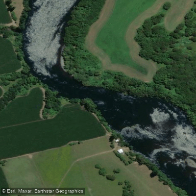
Río Bueno
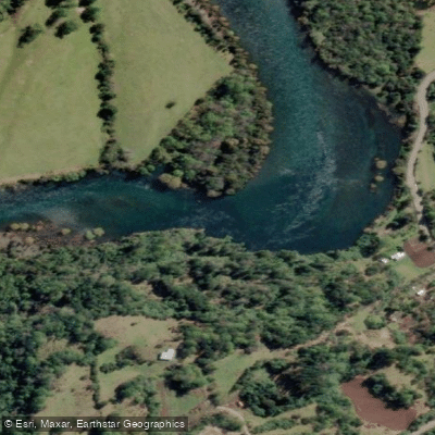
Río Calcurrupe
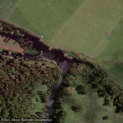
Río Pilmaiquén

Río Calle Calle
Río Golgol
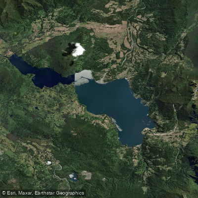
Lago Maihue
Río Fuy
Explore Los Lagos waters
Top paddling waters
No waters available right now.
Popular Cities
Loading popular cities...
Explore near Lago Puyehue
Access points
Nearby waters
More in Los Lagos

Smarter Paddling Starts in the App.
Paddleways gives you everything you need to plan smarter, paddle better, and own every trip from first launch to takeout.