Río Pilmaiquén
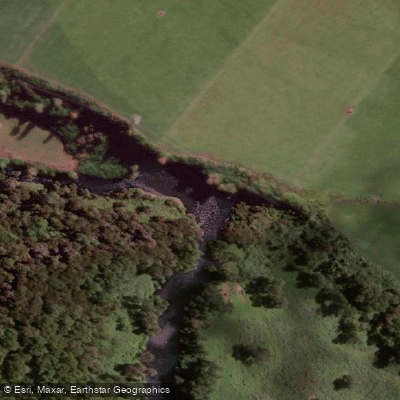
Río Pilmaiquén
- Boat Ramps
- 0
- Access Points
- 0
- Campsites
- 0
The Río Pilmaiquén drains Lago Puyehue and flows northwesterly for approximately 68 kilometers before discharging into the Río Bueno. The river forms part of the boundary between the Los Ríos Region and the Los Lagos Region. The town of Entre Lagos sits near the river's origin, providing convenient logistics for paddlers.
The river is characterized as a high-volume run, and its whitewater is generally rated Class II to III, with wave trains being a notable feature. The volume of water coming out of Lago Puyehue gives the river a big-water character, and paddlers have described it as offering good playboating conditions with glassy play waves. The water is noted as warm relative to other southern Chilean rivers.
A documented kayak route covers 7.5 kilometers beginning at Lago Puyehue near Entre Lagos and ending at Parque La Isla, adjacent to the Salto de la Olla. This stretch passes through a lush, green environment and offers frequent wildlife sightings. Paddlers on this section have reported encountering numerous bird species as well as American mink along the riverbanks.
The easy logistics and proximity to Entre Lagos make day trips straightforward to organize. Water levels influence route selection on the Pilmaiquén and the nearby Río Bueno, and conditions on both rivers are typically evaluated together when planning runs in the area.
The river holds deep cultural significance for the Mapuche communities living along its banks. The Pilmaiquén is considered a sacred waterway, associated with the protective spirit Kintuantü, and is the site of important ceremonial gatherings including the We Tripantü celebration at the winter solstice. Paddlers should be aware that certain areas along the riverbanks are active ceremonial and community sites. One area near the river has also been identified as a protected urban wetland, and landing or disembarking there is not appropriate.
Water access, boat ramps & amenities
Learn how to get on Río Pilmaiquén. Uncover great paddling access points, boat ramps, and all the facilities you need for an unforgettable day on the water. Some locations shown may border or include private property. Always check property boundaries and applicable regulations before visiting. PaddleWays's Public & Private Land layer can help you plan your access with confidence.
Paddle smarter with real-time insights
Whether you're en route and conditions shift or you're looking for the best spot based on current flows, we enable you to make informed decisions on the fly.







Los Lagos licenses and regulations
No licenses or regulations available for Los Lagos.
Find Places to Paddle

Over 400,000 Places to Paddle
Every user gets free access to launch points, boat ramps, and public property parcels.


Water and weather conditions (10 day forecast)
See the best times to paddle Río Pilmaiquén and check the forecast before you go.
Rio Chirre Antes Junta Rio Pilmaiquen
All Flow Stations
Paddling near Río Pilmaiquén
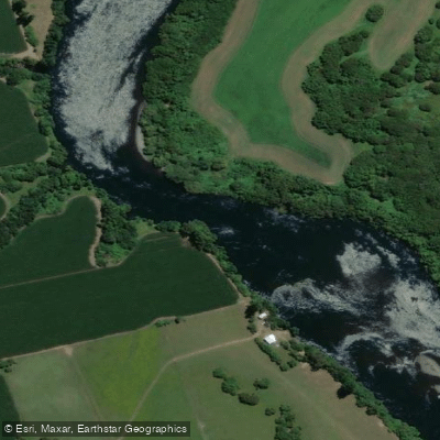
Río Bueno
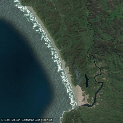
Playa de Colún
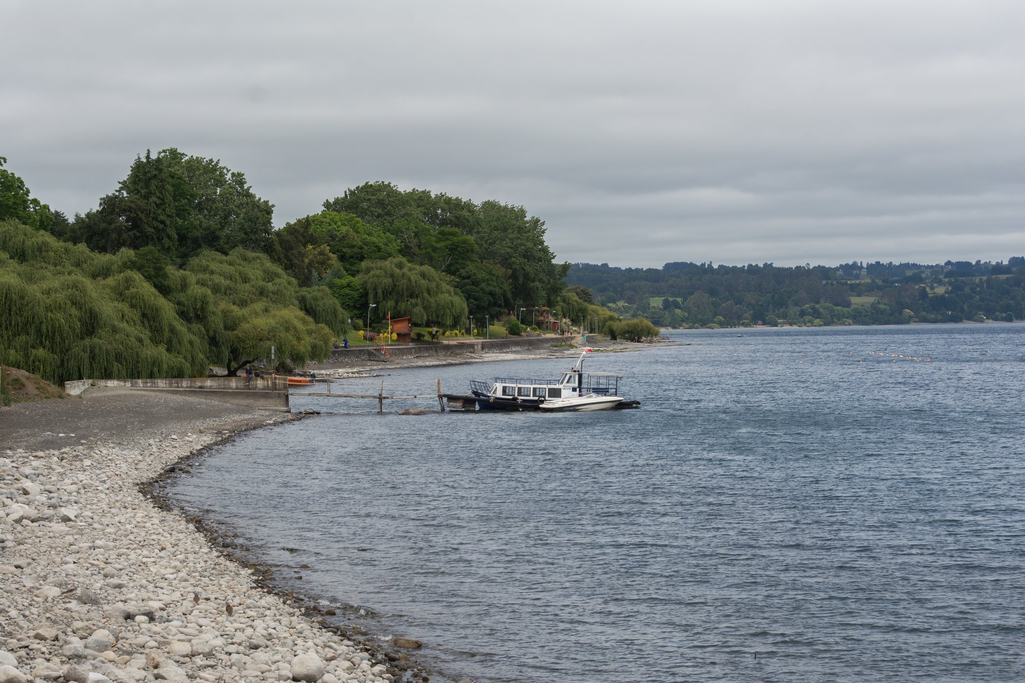
Lago Ranco
Río Bueno
Playa Grande

Río Chaihuín
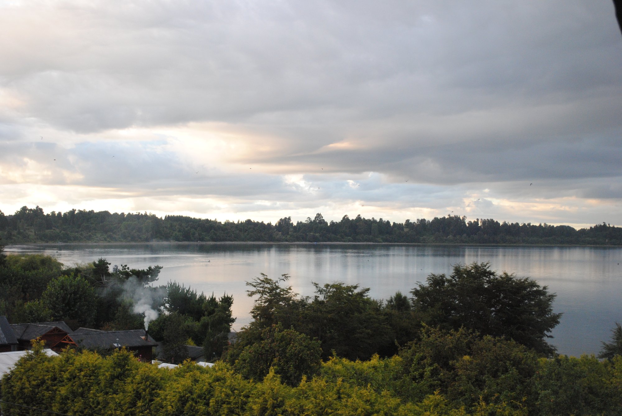
Lago Puyehue
Playa El Espigón

Río Calle Calle
Explore Los Lagos waters
Top paddling waters
No waters available right now.
Popular Cities
Loading popular cities...
Explore near Río Pilmaiquén
Access points
Nearby waters
More in Los Lagos

Smarter Paddling Starts in the App.
Paddleways gives you everything you need to plan smarter, paddle better, and own every trip from first launch to takeout.