Río Fuy
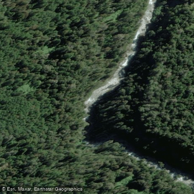
Río Fuy
- Boat Ramps
- 0
- Access Points
- 0
- Campsites
- 3
The Río Fuy is a short river of approximately 20 kilometers in the Los Ríos region of Chile, draining from Lago Neltume — which itself receives glacial meltwater from surrounding volcanoes near the Argentine border — and flowing into Lago Panguipulli. Despite its brief length, the river packs in a remarkable variety of whitewater character and is divided into three distinct sections: Upper, Middle, and Lower Fuy.
The Upper Fuy runs from the private bridge just below where Lago Neltume transitions into the river, near Puerto Neltume and Hotel Baobab, to a takeout at a bus stop pullout in Neltume town where the road meets the river. This section is rated Class III–IV and is best paddled December through January. It features the Las Leonas waterfalls, which are lappable and offer the option to paddle behind the veil. A key safety note: at high water, terminal eddy hazards exist below Las Leonas, and paddling this section at high water is not recommended. The continuous nature of the Upper Fuy demands solid safety boaters and paddlers familiar with the lines.
The Middle Fuy is the most committing section, rated Class IV–V and running December through March. It contains Salto Puma, a 115-foot waterfall described as the tallest and most technically demanding drop on the river, as well as a must-run 45-foot waterfall deeper in the canyon. This section is strictly for advanced and expert paddlers. The Lower Fuy, also running December through March, is rated Class III–IV and is accessible to intermediate through advanced paddlers, with options for kayaks, inflatable kayaks, packrafts, and rafts.
The river runs crystal-clear blue, fed by glacial sources, and flows through basalt canyon terrain beneath the snowcapped Choshuenco Volcano. The pool-drop character of the middle section includes five notable waterfalls. The base town for the Río Fuy is Choshuenco, a small village on the volcanic black-sand beaches of Lago Panguipulli, where basic lodging and meals are available. The prime paddling season overall spans December through March, with the Upper Fuy carrying higher volume in winter and spring. A solid combat roll, river communication skills, and experience catching creek eddies are considered minimum requirements for any section of the river.
Water access, boat ramps & amenities
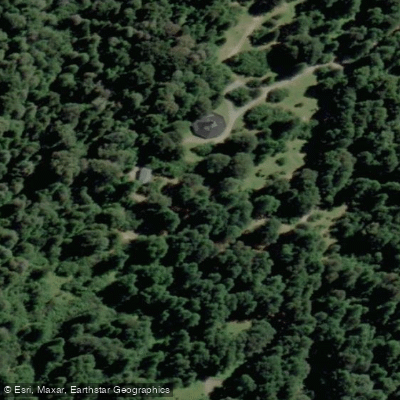
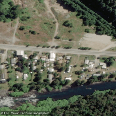
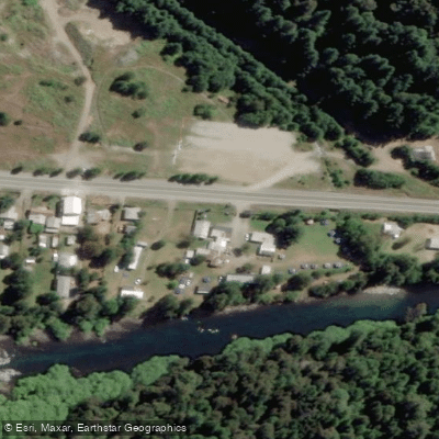
Learn how to get on Río Fuy. Uncover great paddling access points, boat ramps, and all the facilities you need for an unforgettable day on the water. Some locations shown may border or include private property. Always check property boundaries and applicable regulations before visiting. PaddleWays's Public & Private Land layer can help you plan your access with confidence.
Paddle smarter with real-time insights
Whether you're en route and conditions shift or you're looking for the best spot based on current flows, we enable you to make informed decisions on the fly.







Los Ríos licenses and regulations
No licenses or regulations available for Los Ríos.
Find Places to Paddle

Over 400,000 Places to Paddle
Every user gets free access to launch points, boat ramps, and public property parcels.


Water and weather conditions (10 day forecast)
See the best times to paddle Río Fuy and check the forecast before you go.
Rio Fui En Desagüe Lago Pirihueico
Paddling near Río Fuy
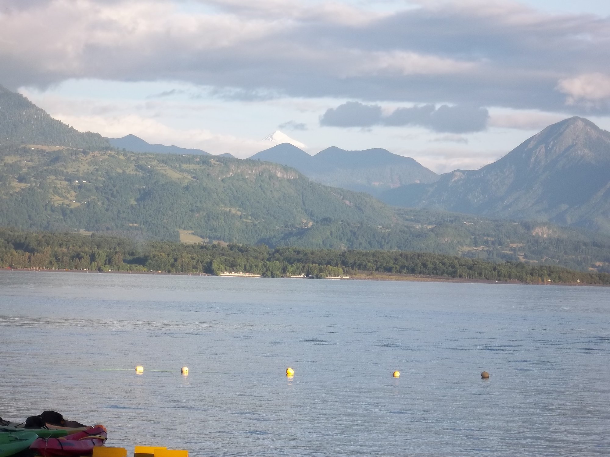
Lago Calafquén
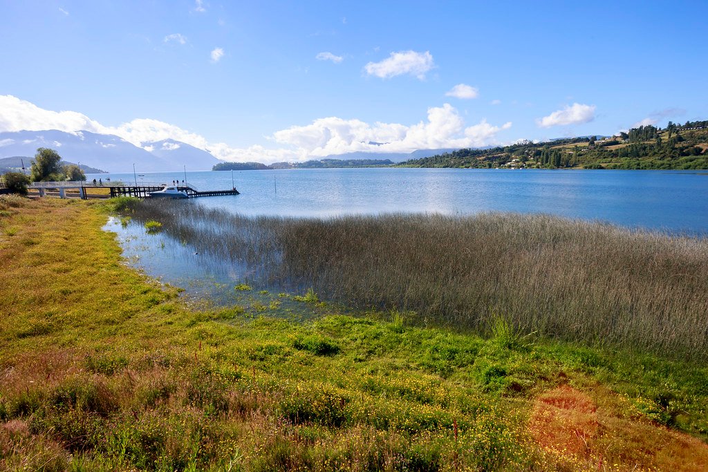
Lago Panguipulli
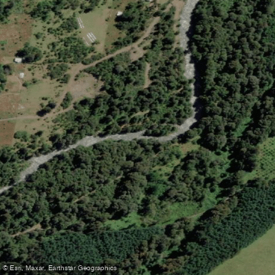
Río Llancahue
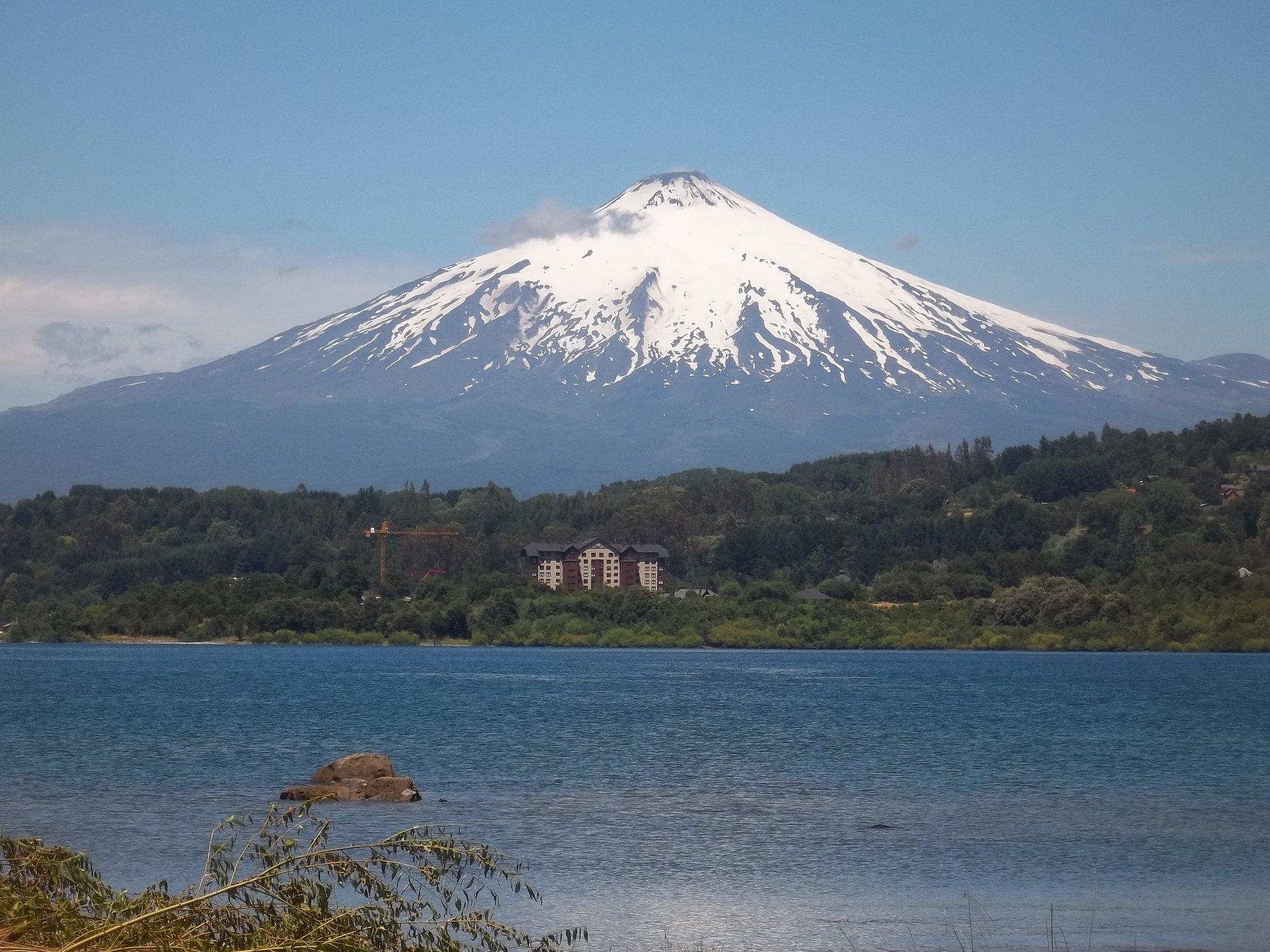
Lago Villarrica

Río Toltén

Río Calle Calle
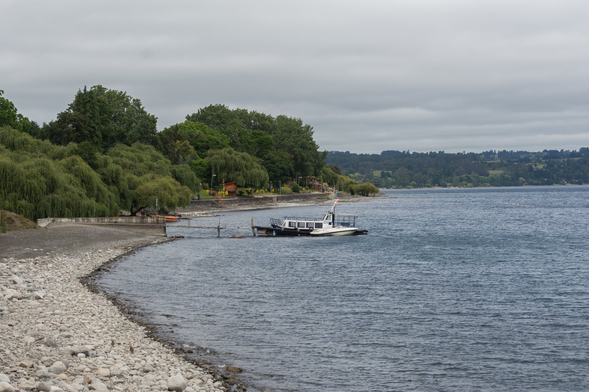
Lago Ranco
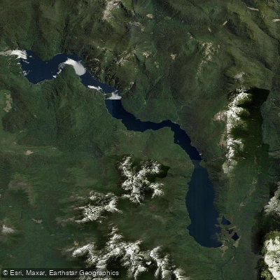
Lago Pirihueico
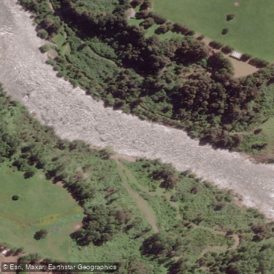
Río San Pedro
Explore Los Ríos waters
Top paddling waters
No waters available right now.
Popular Cities
Loading popular cities...
Explore near Río Fuy

Smarter Paddling Starts in the App.
Paddleways gives you everything you need to plan smarter, paddle better, and own every trip from first launch to takeout.