Lago Yelcho
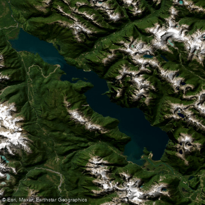
Lago Yelcho
- Boat Ramps
- 0
- Access Points
- 0
- Campsites
- 1
Lago Yelcho is a large fjord-shaped glacial lake located in the Provincia de Palena, Los Lagos Region, in Chilean Patagonia. The lake stretches approximately 29 km (18 miles) in length and up to 6 km (3.7 miles) wide, covering a surface area of 116 km² (45 square miles). Maximum depth reaches 238 m (781 ft), with an average depth of 135 m (443 ft). The lake sits at an elevation of 60 m (200 ft) above sea level. The Futaleufú River enters at the southern tip near the small settlement of Puerto Ramírez, and the lake drains northward via the Río Yelcho, which flows northwest to the Gulf of Corcovado near Chaitén.
The primary Chaitén access point is the town of Chaitén at the northern end of the lake, reachable by daily flights from Puerto Montt or by ferry. Puerto Cárdenas, located near the lake's outlet into the Río Yelcho, is another notable access point along the shoreline.
The surrounding terrain is characterized by steep glaciated peaks, evergreen temperate rainforest, and numerous waterfalls descending the mountainsides. Ventisquero Yelcho, a glacier-crowned peak with ice extending to within roughly 600 feet above sea level, is visible from the lake's eastern shore. The water has an intense turquoise color fed in part by glacial meltwater.
Kayaking and boating are practiced on the lake, which is described as having calm, glass-like water in favorable conditions. One documented paddling route begins on the lower Río Futaleufú valley and continues into Lago Yelcho, with a campsite near Isla Monita offering white sand beaches. Further along, the mouth of the Río Correntoso provides another camping area with sand beaches and clear water. From the northern end, paddlers pass under the Puerto Cárdenas bridge and transition into the Río Yelcho, a Class I/II river with smooth, fast-flowing current through dense temperate rainforest, eventually reaching the coast near Chaitén.
The lake is also well known for fly fishing, particularly for rainbow and brown trout, including a notable dragonfly hatch that draws fish to the surface. The broader catchment area spans 11,158 km² across both Chile and Argentina. The 2008 eruption of Volcán Chaitén caused alterations to some of the lake's tributary systems and regional access routes.
Water access, boat ramps & amenities
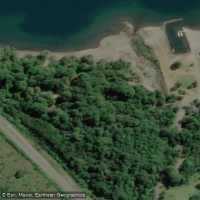
Learn how to get on Lago Yelcho. Uncover great paddling access points, boat ramps, and all the facilities you need for an unforgettable day on the water. Some locations shown may border or include private property. Always check property boundaries and applicable regulations before visiting. PaddleWays's Public & Private Land layer can help you plan your access with confidence.
Paddle smarter with real-time insights
Whether you're en route and conditions shift or you're looking for the best spot based on current flows, we enable you to make informed decisions on the fly.







Los Lagos licenses and regulations
No licenses or regulations available for Los Lagos.
Find Places to Paddle

Over 400,000 Places to Paddle
Every user gets free access to launch points, boat ramps, and public property parcels.


Water and weather conditions (10 day forecast)
See the best times to paddle Lago Yelcho and check the forecast before you go.
No forecast data available.
Paddling near Lago Yelcho
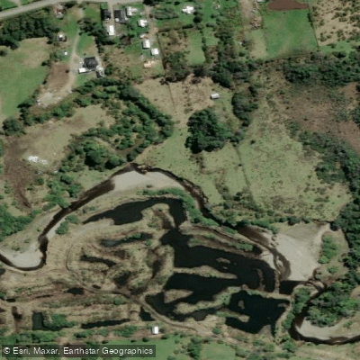
Río Chadmo
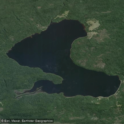
Lago Tepuhueico
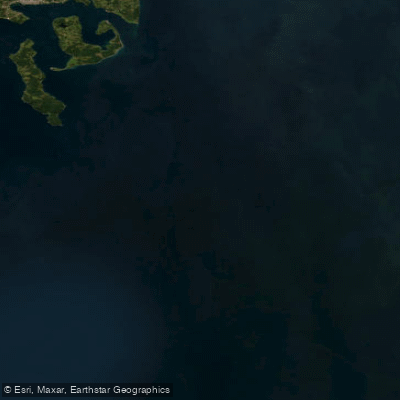
Golfo Corcovado
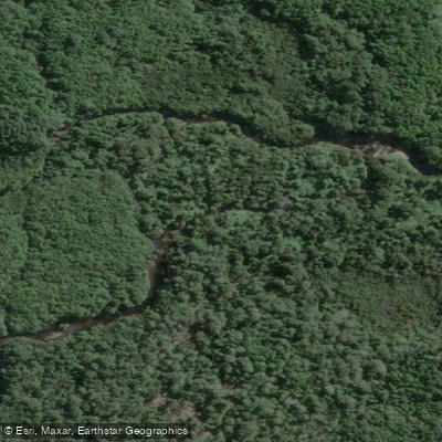
Río Bravo
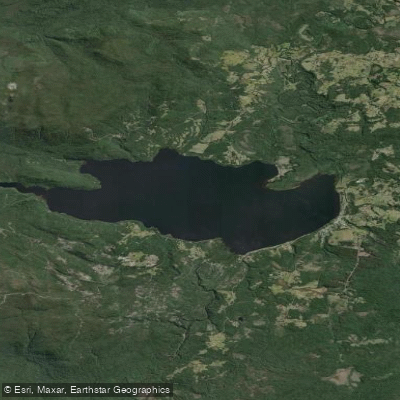
Lago Huillinco
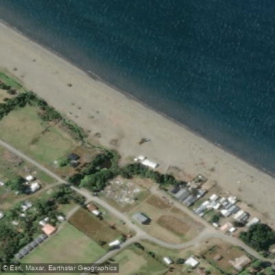
Playa Lelbún
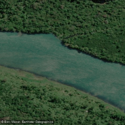
Río Yelcho
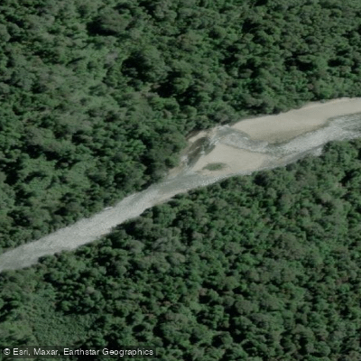
Río Negro
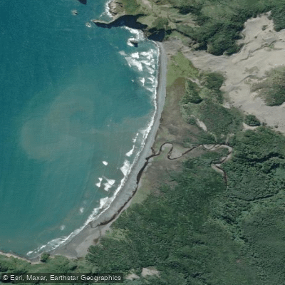
Playa Tricolor
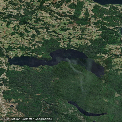
Lago Tarahuín
Explore Los Lagos waters
Top paddling waters
No waters available right now.
Popular Cities
Loading popular cities...
Explore near Lago Yelcho
Access points
Nearby waters
More in Los Lagos

Smarter Paddling Starts in the App.
Paddleways gives you everything you need to plan smarter, paddle better, and own every trip from first launch to takeout.