Río Blanco
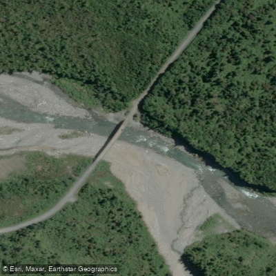
Río Blanco
- Boat Ramps
- 0
- Access Points
- 0
- Campsites
- 0
The Río Blanco in Los Lagos Region, Chile has at least two well-documented runs within the region, both fed by glacial and volcanic sources and characterized by the vivid azure color typical of glacial meltwater. The run near Hornopirén is defined by smooth granite boulders and blue glacier meltwater, giving it a visually striking character distinct from neighboring rivers. Paddlers traveling to Hornopirén should note that the town is accessible only via ferry from Puerto Montt, followed by a drive through increasingly remote terrain. Access to the upper sections may require negotiating with local landowners, and having a four-wheel-drive vehicle is advisable given the road conditions in the area.
The Rio Blanco de Calbuco, located on the southwestern flank of Volcán Calbuco within the Reserva Nacional Llanquihue and above Lago Chapo, is a low-volume run first descended in January 2012. To reach it, travel east from Puerto Montt on the paved road toward the Puelche Ferry, turn left just before Puente Chamiza, and head north to the small town of Correntoso — the road transitions from pavement to gravel along this stretch. From Correntoso, follow signs toward Lago Chapo and Río Blanco for approximately 5.2 kilometers to a parking area near a pisicultura. From there, paddlers carry their boats along a boardwalk trail through forest containing Tepa, Alerce, and Cipress trees. After roughly ten minutes, the trail forks: the left branch leads to the base of a 30-meter waterfall, while the right climbs steps to the national park entrance. Continuing past the guardaparque station for another ten to fifteen minutes brings paddlers to a bridge over the river. A Puerto Varas-based canyoneering company, Pachamagua, also operates organized tours in the spring and summer months on this section.
A separate class III+ section of Río Blanco is used as part of guided kayak itineraries operating out of the Puerto Varas area, positioned as a step-up run between the Río Petrohue and the Futaleufú. The hanging glaciers and mountain scenery along the Hornopirén corridor are noted as particularly striking by paddlers who have run the river.
Water access, boat ramps & amenities
Learn how to get on Río Blanco. Uncover great paddling access points, boat ramps, and all the facilities you need for an unforgettable day on the water. Some locations shown may border or include private property. Always check property boundaries and applicable regulations before visiting. PaddleWays's Public & Private Land layer can help you plan your access with confidence.
Paddle smarter with real-time insights
Whether you're en route and conditions shift or you're looking for the best spot based on current flows, we enable you to make informed decisions on the fly.







Los Lagos licenses and regulations
No licenses or regulations available for Los Lagos.
Find Places to Paddle

Over 400,000 Places to Paddle
Every user gets free access to launch points, boat ramps, and public property parcels.


Water and weather conditions (10 day forecast)
See the best times to paddle Río Blanco and check the forecast before you go.
No forecast data available.
Paddling near Río Blanco
Río Chadmo
Lago Tepuhueico
Golfo Corcovado
Río Bravo
Lago Huillinco
Playa Lelbún
Río Yelcho
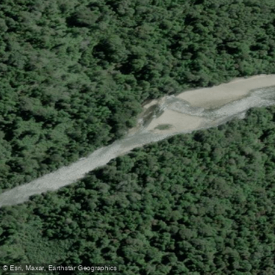
Río Negro
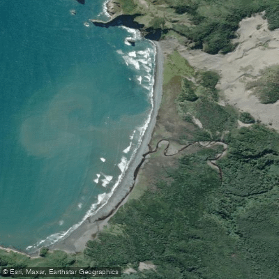
Playa Tricolor
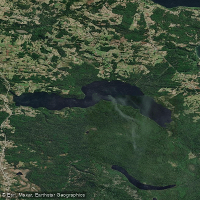
Lago Tarahuín
Explore Los Lagos waters
Top paddling waters
No waters available right now.
Popular Cities
Loading popular cities...
Explore near Río Blanco
Access points
Nearby waters
More in Los Lagos

Smarter Paddling Starts in the App.
Paddleways gives you everything you need to plan smarter, paddle better, and own every trip from first launch to takeout.