Río Bueno
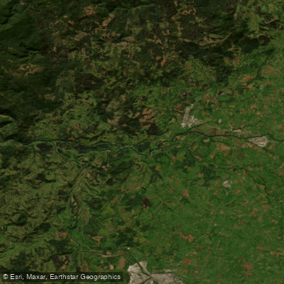
Río Bueno
- Boat Ramps
- 3
- Access Points
- 1
- Campsites
- 0
Río Bueno originates from Lago Ranco, the third largest lake in Chile, and flows westward through the Los Ríos region before emptying into the Pacific Ocean at a sandbar known as La Barra. The river offers two quite different paddling experiences depending on which section is run.
The upper section, accessed from Puerto Nuevo in the commune of La Unión, is the primary rafting zone. Here the river presents a mix of Class II/III rapids and calmer stretches, making it suitable for paddlers of varying experience levels, including beginners and families. Commercial rafting operations run out of Puerto Nuevo, with trips lasting approximately 2.5 hours and accepting participants as young as seven years old. The put-in is reached by boat across Lago Ranco from Puerto Nuevo, where rafts are towed to the river's source. Puerto Nuevo is accessible from Valdivia, the nearest major city.
The lower river transitions to a flat, slow-moving character with no significant rapids or technical features. This section is used for multi-day sea kayak expeditions covering roughly 30 miles per day. The river terminates at La Barra, where opposing currents from the river and ocean can build up a sandy barrier that sometimes blocks passage to the open sea. Importantly, there is no road access to La Barra, so paddlers on this lower section must plan accordingly. The only road access point on the lower river is at a fish farm called Los Patos, which serves as the standard take-out. Because the current on the lower section is relatively weak, paddling upstream from La Barra back to Los Patos — a distance of roughly 10 miles — is a manageable task, typically taking around two hours.
The river flows through native southern Chilean forest and natural riparian environments. Guided sea kayak expeditions on the lower section include riverside camping in natural settings with minimal infrastructure.
Water access, boat ramps & amenities
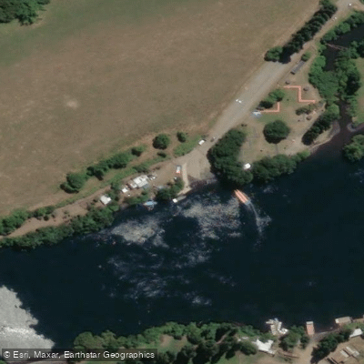
Learn how to get on Río Bueno. Uncover great paddling access points, boat ramps, and all the facilities you need for an unforgettable day on the water. Some locations shown may border or include private property. Always check property boundaries and applicable regulations before visiting. PaddleWays's Public & Private Land layer can help you plan your access with confidence.
Paddle smarter with real-time insights
Whether you're en route and conditions shift or you're looking for the best spot based on current flows, we enable you to make informed decisions on the fly.







Los Lagos licenses and regulations
No licenses or regulations available for Los Lagos.
Find Places to Paddle

Over 400,000 Places to Paddle
Every user gets free access to launch points, boat ramps, and public property parcels.


Water and weather conditions (10 day forecast)
See the best times to paddle Río Bueno and check the forecast before you go.
Rio Bueno En Bueno
All Flow Stations
Paddling near Río Bueno
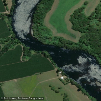
Río Bueno
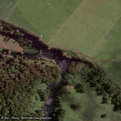
Río Pilmaiquén
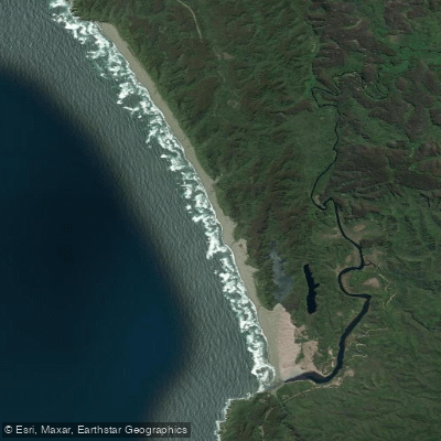
Playa de Colún
Río Chaihuín
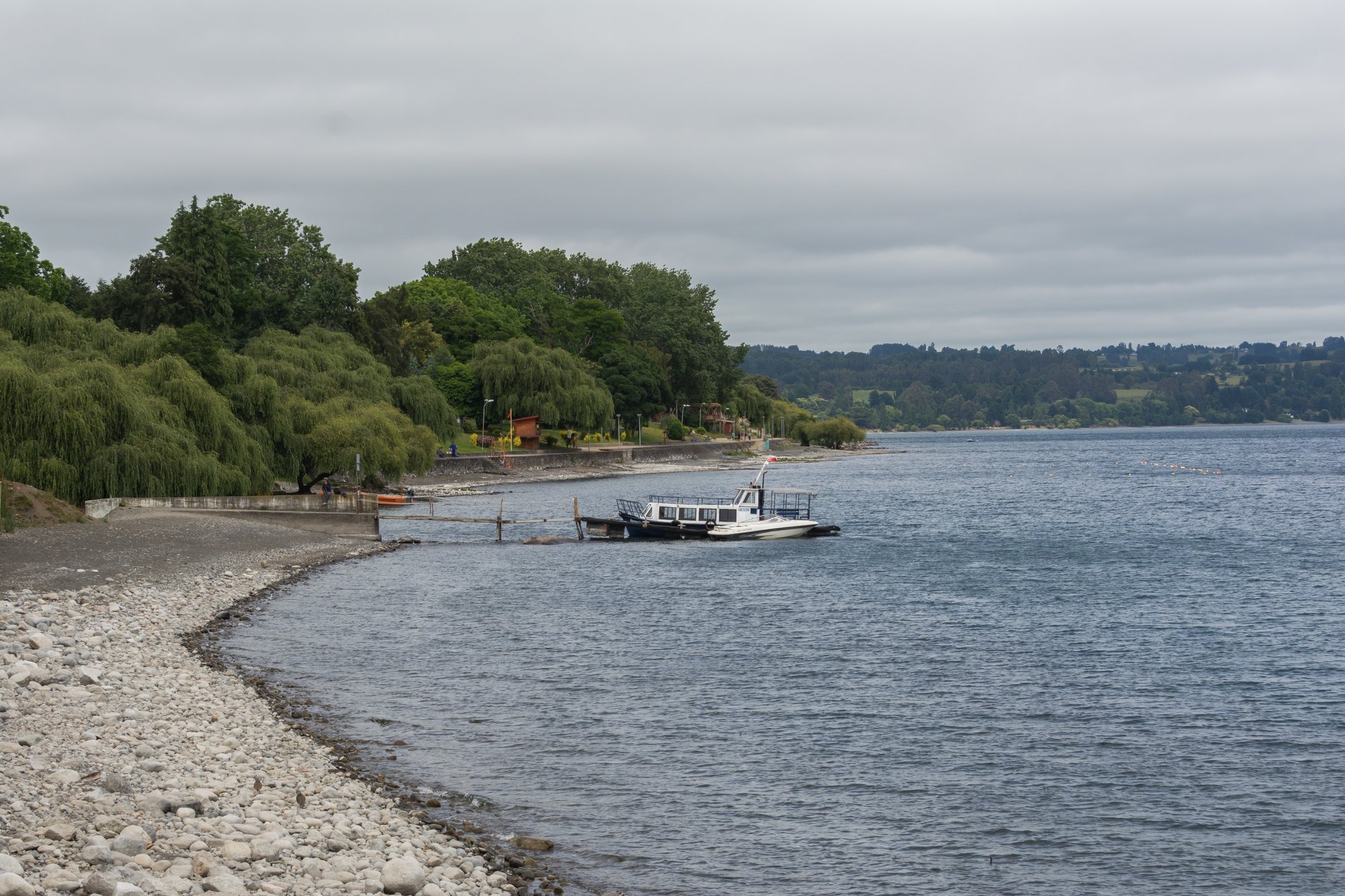
Lago Ranco
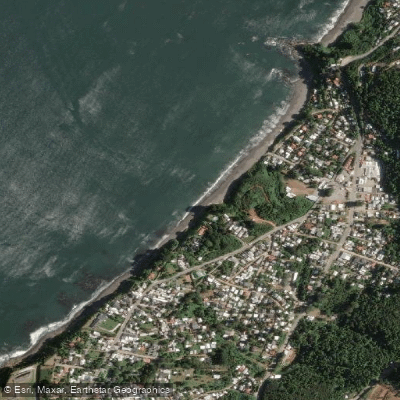
Playa Grande
Río Valdivia
Playa El Espigón

Río Calle Calle
Explore Los Lagos waters
Top paddling waters
No waters available right now.
Popular Cities
Loading popular cities...
Explore near Río Bueno

Smarter Paddling Starts in the App.
Paddleways gives you everything you need to plan smarter, paddle better, and own every trip from first launch to takeout.