Río Futaleufú
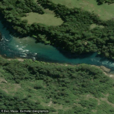
Río Futaleufú
- Boat Ramps
- 0
- Access Points
- 0
- Campsites
- 3
The Río Futaleufú flows through the Province of Palena in the Los Lagos Region of Chilean Patagonia. Its name in Mapudungun translates to "Big River," and it is widely regarded as one of the top three whitewater destinations on the planet. The river is characterized by crystal-clear turquoise glacial water, massive volume, and continuous technical rapids set against a backdrop of granite walls, temperate rainforest, and Andean peaks. Condors are occasionally spotted soaring above the valley.
The river offers a broad range of difficulty across its various sections. The El Macal section runs at Class III, while Las Escalas through Wild Mile grades out at Class III–IV. The Bridge to Bridge (Puente a Puente) section is the most commonly paddled stretch, covering approximately 4.3 miles at a gradient of 47 feet per mile, rated overall Class IV+ with one Class V– rapid. The put-in is at the Zapata Swinging Bridge and the take-out is at Puente Futaleufú. Notable rapids on this section include Entrada (IV+), Lower Entrada (IV), Pillow (IV+), Cara del Indio (IV), Mundaca (V–), Last Wave is a Rock (IV), Cazuela (IV), and Tiburon (IV). Downstream, the Casa de Piedra section grades at Class IV–V, and the Inferno Gorge reaches Class V. Flows on the Bridge to Bridge section are influenced by upstream dam releases, with a typical level around 15,000 cfs. No permits are required.
The prime paddling season runs from December through March, with January and February considered the peak window for the Futaleufú. Flows drop to more manageable levels as the Southern Hemisphere summer progresses. The first descent of the river was made in 1985 by Phil DeRiemer, Lars Holbek, Eric Magneson, and Mark Allen.
Swimmers face serious consequences on this river — boats can travel far downstream before paddlers reach shore, and the powerful water demands respect even on Class IV sections. First-time visitors are strongly advised to hire a local outfitter for the initial runs. The river's tributaries, the Río Espolón (Class I–III+) and Río Azul (Class III–IV), offer additional paddling options within the valley for those seeking less demanding days on the water. The Futaleufú National Reserve, part of the Temperate Rainforest Biosphere Reserve of the Southern Andes, borders the river corridor.
Water access, boat ramps & amenities
Learn how to get on Río Futaleufú. Uncover great paddling access points, boat ramps, and all the facilities you need for an unforgettable day on the water. Some locations shown may border or include private property. Always check property boundaries and applicable regulations before visiting. PaddleWays's Public & Private Land layer can help you plan your access with confidence.
Paddle smarter with real-time insights
Whether you're en route and conditions shift or you're looking for the best spot based on current flows, we enable you to make informed decisions on the fly.







Los Lagos licenses and regulations
No licenses or regulations available for Los Lagos.
Find Places to Paddle

Over 400,000 Places to Paddle
Every user gets free access to launch points, boat ramps, and public property parcels.


Water and weather conditions (10 day forecast)
See the best times to paddle Río Futaleufú and check the forecast before you go.
Rio Futaleufu En La Frontera
All Flow Stations
Paddling near Río Futaleufú
Río Chadmo
Lago Tepuhueico
Golfo Corcovado
Río Bravo
Lago Huillinco
Playa Lelbún
Río Yelcho
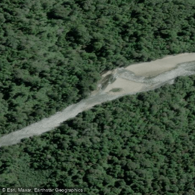
Río Negro
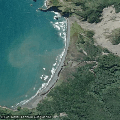
Playa Tricolor
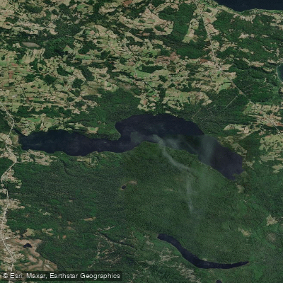
Lago Tarahuín
Explore Los Lagos waters
Top paddling waters
No waters available right now.
Popular Cities
Loading popular cities...
Explore near Río Futaleufú
Access points
Nearby waters
More in Los Lagos

Smarter Paddling Starts in the App.
Paddleways gives you everything you need to plan smarter, paddle better, and own every trip from first launch to takeout.