Playa El Espigón
- Saltwater
- Beach
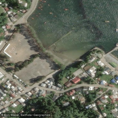
Playa El Espigón
- Saltwater
- Beach
- Sq. miles
- 0
- Boat Ramps
- 0
- Access Points
- 0
- Campsites
- 0
Playa El Espigón is a beach located in Corral, within the Valdivia Province of Chile's Los Ríos Region. This beach serves as a potential launch point for paddlers into Corral Bay at the mouth of the Valdivia River. The immediate area is rich in historical significance, as it lies within the former Valdivian Fort System. Notably, Castillo San Sebastián de la Cruz is situated just 380 meters southeast of the beach, offering a close historical landmark visible from the water. A primary destination for a paddle trip from this beach is Mancera Island, located approximately 3.5 kilometers to the east. The island, historically significant and known by its indigenous Mapuche name Güiguacabin, sits prominently in the bay. Other points of interest within a few kilometers include the town of Niebla to the northeast and the Castle of the Pure and Clean Conception of Monfort de Lemus, about 3 km northeast. The paddling environment here is exposed to open ocean swell, with forecasts indicating swells can approach from the east-northeast. Water temperatures are cool, typical of the southern Chilean coast, with a reported temperature of 11°C suggesting a wetsuit is necessary year-round. The beach faces generally westward, which can lead to cross-shore winds from the northwest. Tide levels fluctuate, affecting the carry distance from any parking area to the water's edge, and paddlers must be prepared for potential surf or shore-break conditions when launching or landing. No specific regulations or facilities for paddlers are detailed.
Water access, boat ramps & amenities
Learn how to get on Playa El Espigón. Uncover great paddling access points, boat ramps, and all the facilities you need for an unforgettable day on the water. Some locations shown may border or include private property. Always check property boundaries and applicable regulations before visiting. PaddleWays's Public & Private Land layer can help you plan your access with confidence.
Paddle smarter with real-time insights
Whether you're en route and conditions shift or you're looking for the best spot based on current flows, we enable you to make informed decisions on the fly.







Los Ríos licenses and regulations
No licenses or regulations available for Los Ríos.
Find Places to Paddle

Over 400,000 Places to Paddle
Every user gets free access to launch points, boat ramps, and public property parcels.


Tides, wind & water conditions (10 day forecast)
On open water, wind and tide matter as much as the weather. See the best times to paddle Playa El Espigón and check the marine forecast before you launch.
Loading tide predictions…
Paddling near Playa El Espigón
Río Valdivia
Río Chaihuín

Río Calle Calle
Río Cutipay
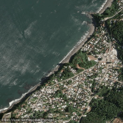
Playa Grande
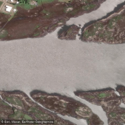
Río Angachilla
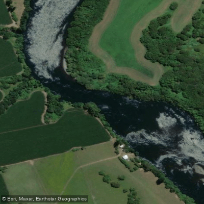
Río Bueno
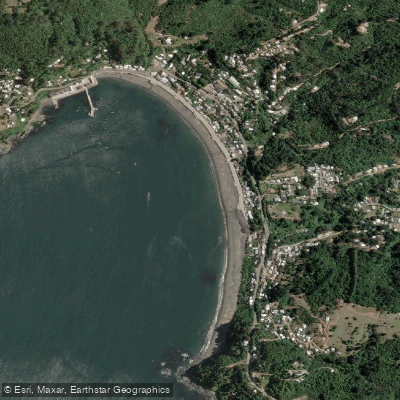
Playa Los Molinos
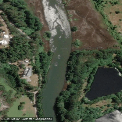
Río Cau Cau
Explore Los Ríos waters
Top paddling waters
No waters available right now.
Popular Cities
Loading popular cities...
Explore near Playa El Espigón

Smarter Paddling Starts in the App.
Paddleways gives you everything you need to plan smarter, paddle better, and own every trip from first launch to takeout.