Lago Pirihueico
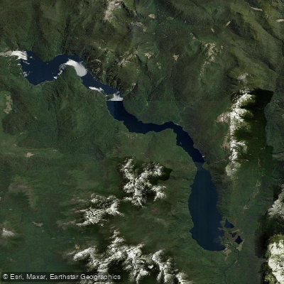
Lago Pirihueico
- Boat Ramps
- 2
- Access Points
- 1
- Campsites
- 3
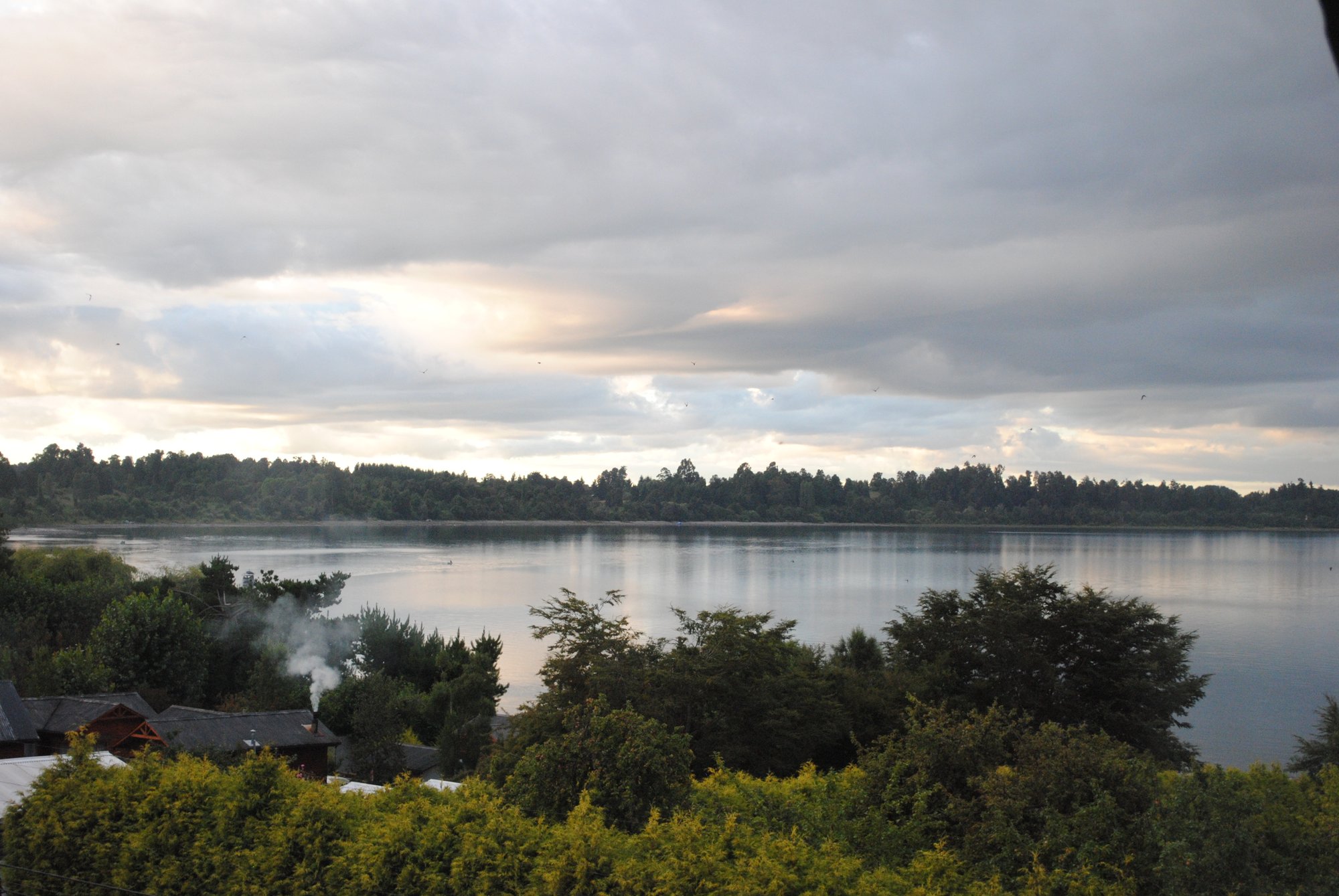
Lago Pirihueico is a glacially formed lake situated in the Panguipulli Commune of the Los Ríos Region, at a surface elevation of approximately 586 meters above sea level. The lake occupies a geological fault line shared with Lago Panguipulli to the west and Lago Lácar across the Argentine border to the east. Its elongated shape — roughly 23 kilometers long and 2 kilometers wide — makes it well suited as a waterway, and it has historically served as a transit corridor between Chile and Argentina via the Paso Hua Hum. Maximum depth reaches 145 meters, with an average depth of around 62 meters. The lake's waters are described as blue-green in appearance, bordered by native Valdivian rainforest that includes species such as Nothofagus dombeyi, Podocarpus nubigenus, Embothrium coccineum, and ulmo. The southern shore falls within the Huilo Huilo Biological Reserve.
The primary access point for paddlers is Puerto Fuy, a small village on the western end of the lake. A ferry service — the Barcaza Hua-Hum — operates between Puerto Fuy and Puerto Pirihueico at the eastern end, which can be useful for one-way crossings or logistics. The lake drains westward via the Río Fuy, which flows toward Lago Panguipulli and offers whitewater paddling ranging from Class II to Class V in its various sections; the Lower Fuy is rated Class II/III and is considered appropriate for beginners and intermediates.
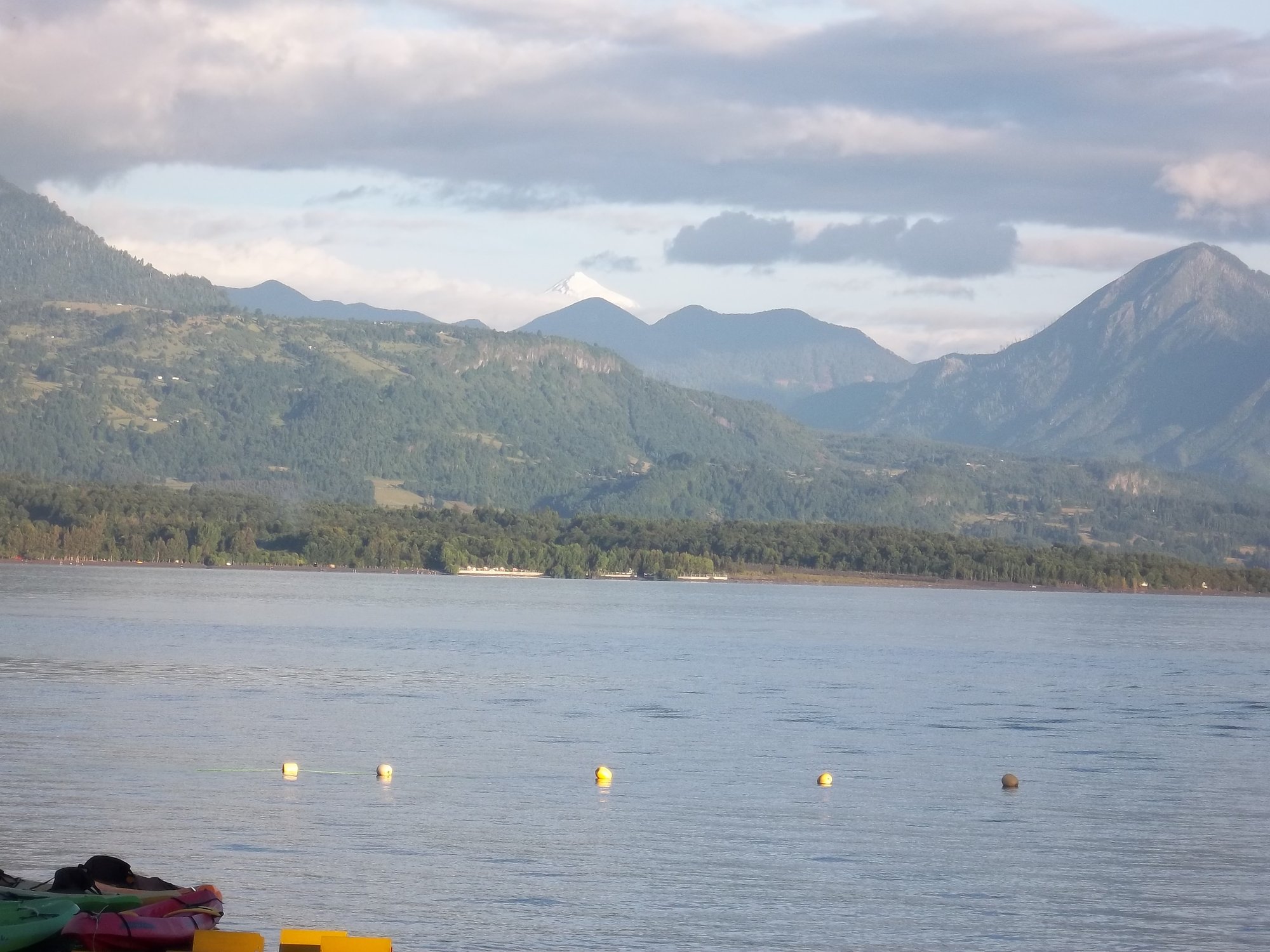
Kayaking is explicitly listed among the recreational activities available on the lake. The surrounding landscape includes views of the Mocho-Choshuenco volcano and Andean peaks, with trails and viewpoints accessible from Puerto Fuy. Wildlife observation and sport fishing (requiring a SERNAPESCA license) are also practiced in the area. The southern shoreline's inclusion in the Huilo Huilo Biological Reserve may carry specific access or conduct regulations, and paddlers should verify any applicable rules before entering that zone.
The lake's glacial origin means water temperatures are likely cold year-round, though specific temperatures by month or season are not documented. The area around Puerto Fuy has a small population of roughly 1,000 people in the broader Choshuenco area, with basic amenities available. Guided fishing and paddling services operate out of Puerto Fuy, including full-day excursions with equipment and lunch provided.
Water access, boat ramps & amenities
Learn how to get on Lago Pirihueico. Uncover great paddling access points, boat ramps, and all the facilities you need for an unforgettable day on the water. Some locations shown may border or include private property. Always check property boundaries and applicable regulations before visiting. PaddleWays's Public & Private Land layer can help you plan your access with confidence.
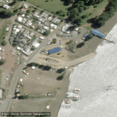
Paddle smarter with real-time insights
Whether you're en route and conditions shift or you're looking for the best spot based on current flows, we enable you to make informed decisions on the fly.







Los Ríos licenses and regulations
No licenses or regulations available for Los Ríos.
Find Places to Paddle

Over 400,000 Places to Paddle
Every user gets free access to launch points, boat ramps, and public property parcels.


Water and weather conditions (10 day forecast)
See the best times to paddle Lago Pirihueico and check the forecast before you go.
Rio Fui En Desagüe Lago Pirihueico
Paddling near Lago Pirihueico
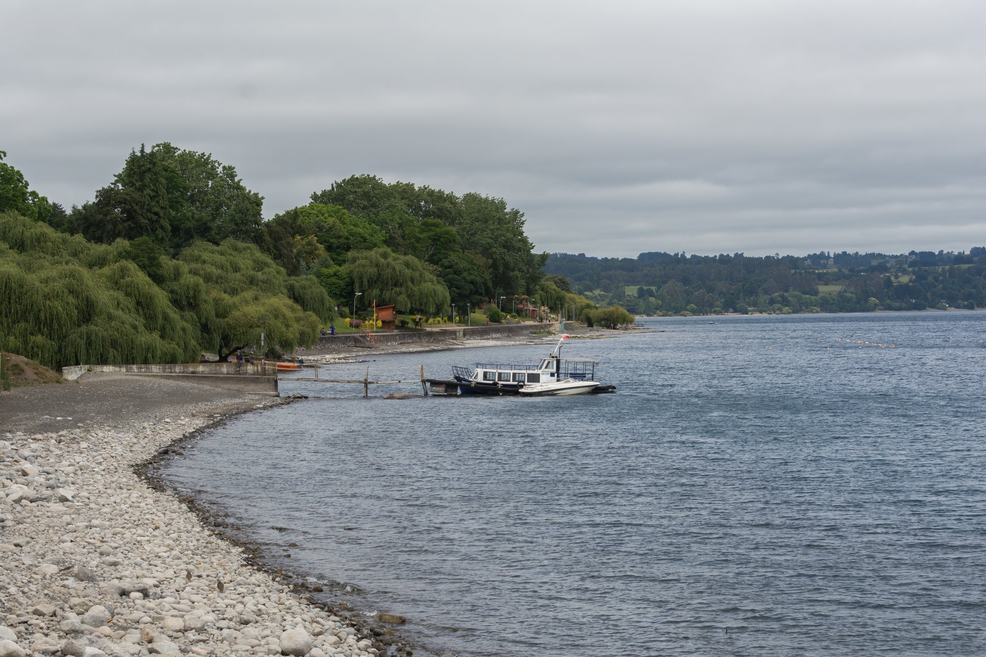
Lago Ranco
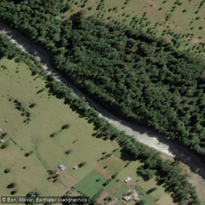
Río Nilahue
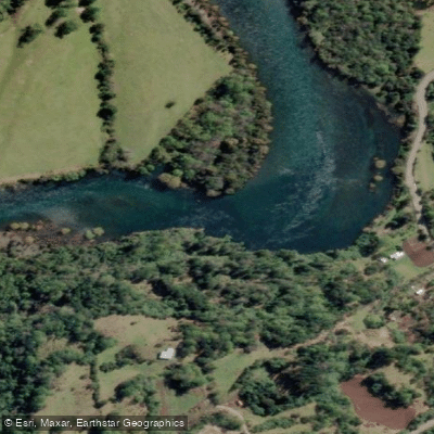
Río Calcurrupe
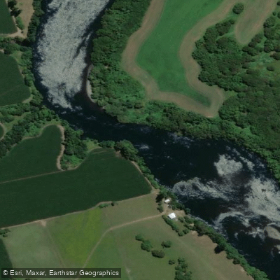
Río Bueno

Río Calle Calle
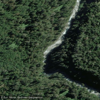
Río Fuy
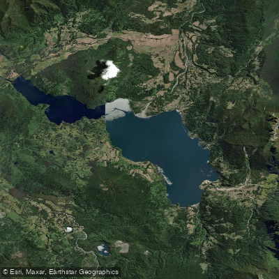
Lago Maihue
Lago Puyehue
Lago Calafquén
Explore Los Ríos waters
Top paddling waters
No waters available right now.
Popular Cities
Loading popular cities...
Explore near Lago Pirihueico

Smarter Paddling Starts in the App.
Paddleways gives you everything you need to plan smarter, paddle better, and own every trip from first launch to takeout.