Playa Curiñanco
- Saltwater
- Beach
Playa Curiñanco
- Saltwater
- Beach
- Sq. miles
- 0.6
- Boat Ramps
- 0
- Access Points
- 0
- Campsites
- 1
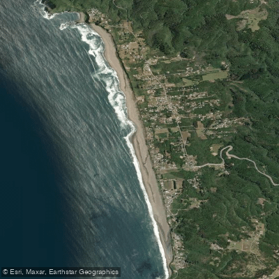
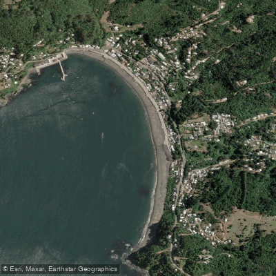
Playa Curiñanco is a coastal beach located approximately 40 kilometers north of Valdivia in Chile's Los Ríos Region. The beach is characterized by its clear, light-colored sand and is situated at the mouth of the Río Llico. It is part of a landscape where forest, sand, and sea converge, creating a scenic and natural environment. For paddlers launching from shore, it is important to note that motorized vehicle access onto the beach itself is prohibited, as the area is a bird nesting zone. This means any kayak, SUP, or surf ski will need to be carried from designated parking areas to the water's edge. The beach faces the open Pacific Ocean, making it exposed to prevailing winds and swell. Wind data indicates that conditions are often light to moderate, with a 56% probability of a moderate breeze, but paddlers should be prepared for variable coastal winds. The water temperature is consistently cold, averaging around 11.5°C, presenting a significant risk of hypothermia; appropriate immersion gear is essential. The area is adjacent to the Punta Curiñanco reserve, which offers trails and notable natural sights. The coastline and nearby river mouth provide potential exploration areas. The overall vibe is that of a natural, less-developed coastal rincón, valued for its beauty and wildlife rather than built-up amenities.
Water access, boat ramps & amenities
Learn how to get on Playa Curiñanco. Uncover great paddling access points, boat ramps, and all the facilities you need for an unforgettable day on the water. Some locations shown may border or include private property. Always check property boundaries and applicable regulations before visiting. PaddleWays's Public & Private Land layer can help you plan your access with confidence.
Paddle smarter with real-time insights
Whether you're en route and conditions shift or you're looking for the best spot based on current flows, we enable you to make informed decisions on the fly.







Los Ríos licenses and regulations
No licenses or regulations available for Los Ríos.
Find Places to Paddle

Over 400,000 Places to Paddle
Every user gets free access to launch points, boat ramps, and public property parcels.


Tides, wind & water conditions (10 day forecast)
On open water, wind and tide matter as much as the weather. See the best times to paddle Playa Curiñanco and check the marine forecast before you launch.
Loading tide predictions…
Paddling near Playa Curiñanco
Río Valdivia

Río Calle Calle
Río Chaihuín
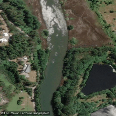
Río Cau Cau
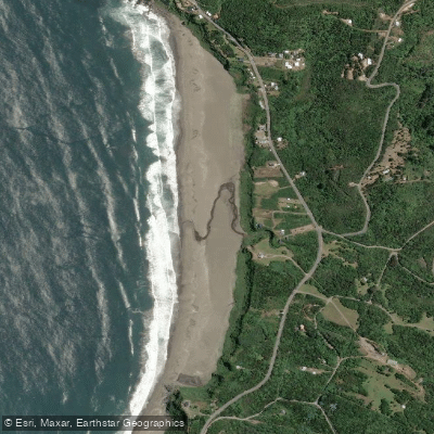
Playa Calfuco
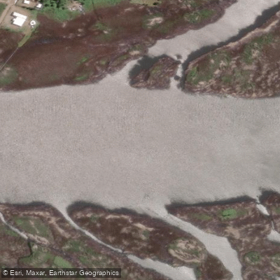
Río Angachilla
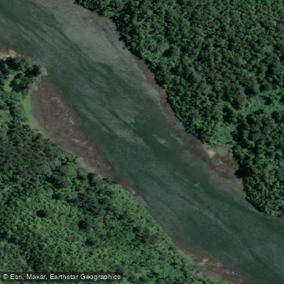
Río Cutipay
Playa Los Molinos

Río Toltén
Explore Los Ríos waters
Top paddling waters
No waters available right now.
Popular Cities
Loading popular cities...
Explore near Playa Curiñanco
Access points
Nearby waters
More in Los Ríos

Smarter Paddling Starts in the App.
Paddleways gives you everything you need to plan smarter, paddle better, and own every trip from first launch to takeout.