Río San Pedro
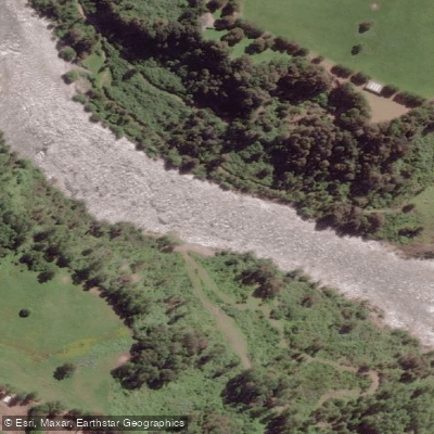
Río San Pedro
- Boat Ramps
- 0
- Access Points
- 0
- Campsites
- 0
The Río San Pedro is a roughly 77-kilometer river in Valdivia Province, Los Ríos Region, southern Chile. It originates at Lago Riñihue — the last of the Seven Lakes — and flows to the Calle-Calle River, which eventually becomes the Río Valdivia before emptying into Corral Bay. The river is fed by volcanic snowpack, which gives it exceptionally clear, blue water; paddlers have described being able to see the volcanic rock riverbed and fish while floating on the surface.
The standard paddling run begins where Lago Riñihue meets the river and ends at a bridge crossing the San Pedro, a distance that operators describe as approximately 21 kilometers to the Puente Malihue takeout. A longer kayak trip runs from the Balseo San Pedro put-in to the Balseo San Javier takeout, covering roughly 33 kilometers and taking approximately five hours of paddling time. The character of the river changes progressively: the upper section near the lake outflow is Class II and relatively calm, while the gradient and power build downstream to larger waves and rapids. Named features include Tsunami, the White Room, and the Dam Rapid. The river is noted for surf waves and playboating opportunities alongside the bigger whitewater challenges.
The river suits a wide range of skill levels. Beginners and intermediates commonly paddle in rafts, duckies, or packrafts, while advanced kayakers pursue the bigger rapids and play features. The river is frequently described as comparable in character to a smaller version of the Río Futaleufú.
The shuttle is substantial — operators note roughly a two-hour drive from Pucón and a one-hour vehicle shuttle between put-in and takeout. There is free public access at the put-in where the road meets Lago Riñihue; paying locals a small fee to watch vehicles is recommended. The bridge takeout carries a noted risk of vehicle break-ins, and hiring a driver or arranging secure parking is strongly advised.
The river corridor passes through forest with wildlife and offers views of the surrounding landscape. The Río San Pedro is also recognized as a productive fishery, with Chinook salmon and rainbow trout among the species present. Commercial rafting and kayak guiding operations are active on the river, with guided trips available from operators based in Valdivia, approximately one hour away.
Water access, boat ramps & amenities
Learn how to get on Río San Pedro. Uncover great paddling access points, boat ramps, and all the facilities you need for an unforgettable day on the water. Some locations shown may border or include private property. Always check property boundaries and applicable regulations before visiting. PaddleWays's Public & Private Land layer can help you plan your access with confidence.
Paddle smarter with real-time insights
Whether you're en route and conditions shift or you're looking for the best spot based on current flows, we enable you to make informed decisions on the fly.







Los Ríos licenses and regulations
No licenses or regulations available for Los Ríos.
Find Places to Paddle

Over 400,000 Places to Paddle
Every user gets free access to launch points, boat ramps, and public property parcels.


Water and weather conditions (10 day forecast)
See the best times to paddle Río San Pedro and check the forecast before you go.
Rio San Pedro En Desague Lago Rinihue
Paddling near Río San Pedro

Río Calle Calle
Río Valdivia
Playa Curiñanco
Lago Ranco
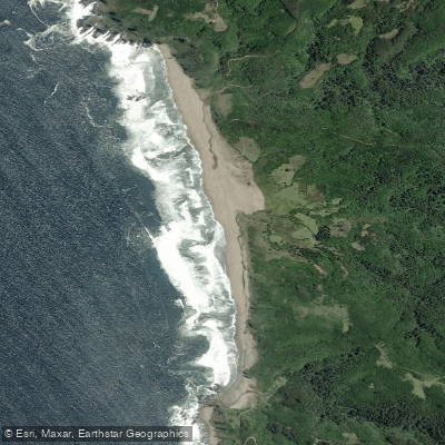
Playa Pelluco
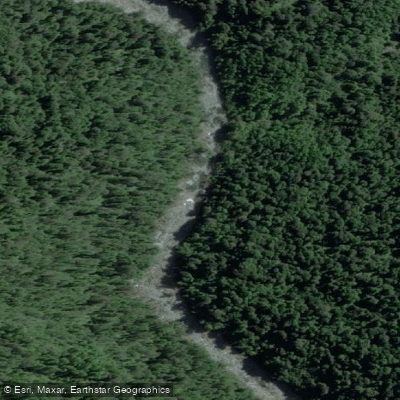
Río Chaihuín
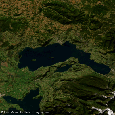
Lago Calafquén
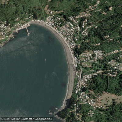
Playa Los Molinos
Río Bueno
Explore Los Ríos waters
Top paddling waters
No waters available right now.
Popular Cities
Loading popular cities...
Explore near Río San Pedro
Access points
Nearby waters
More in Los Ríos

Smarter Paddling Starts in the App.
Paddleways gives you everything you need to plan smarter, paddle better, and own every trip from first launch to takeout.