Bahía Windhond
- Saltwater
- Bay
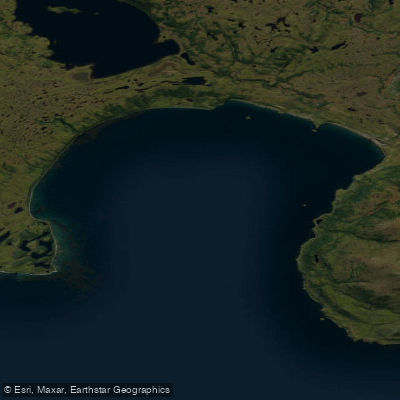
Bahía Windhond
- Saltwater
- Bay
- Sq. miles
- 47
- Boat Ramps
- 0
- Access Points
- 0
- Campsites
- 0
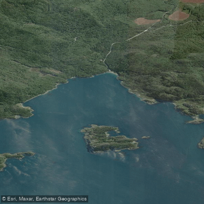
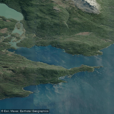
Bahía Windhond is a large coastal bay on the southern shore of Isla Navarino in the remote Chilean Antarctic Province. It is a significant saltwater feature, measuring approximately 5 nautical miles wide from east to west and extending 6.5 nautical miles inland to the north. The bay is noted for its clean, even bottom but is completely exposed to the prevailing westerly winds from the third quadrant. As the surrounding coastline is low-lying, these winds can strike with force and generate a heavy, confused sea within the bay itself, making it an unreliable anchorage and a serious consideration for paddlers. The climate is consistently maritime with even temperatures year-round, though the region is known for permanent inclement weather. A specific access point for kayakers is known at Caleta Beban on the bay's coast, which has been used for assembling and disassembling camp during a kayak expedition to Cape Horn. The area holds deep historical significance, having been inhabited by the Yagán people for over 6,000 years and later visited by numerous European exploratory expeditions in the 17th through 19th centuries. Ecologically, the bay is distinguished by its high algal diversity and the presence of an extensive kelp forest of Macrocystis pyrifera. From vantage points on the adjacent Dientes de Navarino massif, such as near Laguna Escondida, paddlers can gain views overlooking the western part of Bahía Windhond, the broader Nassau Bay, and the Wollaston archipelago.
Water access, boat ramps & amenities
Learn how to get on Bahía Windhond. Uncover great paddling access points, boat ramps, and all the facilities you need for an unforgettable day on the water. Some locations shown may border or include private property. Always check property boundaries and applicable regulations before visiting. PaddleWays's Public & Private Land layer can help you plan your access with confidence.
Paddle smarter with real-time insights
Whether you're en route and conditions shift or you're looking for the best spot based on current flows, we enable you to make informed decisions on the fly.







Magallanes licenses and regulations
No licenses or regulations available for Magallanes.
Find Places to Paddle

Over 400,000 Places to Paddle
Every user gets free access to launch points, boat ramps, and public property parcels.


Tides, wind & water conditions (10 day forecast)
On open water, wind and tide matter as much as the weather. See the best times to paddle Bahía Windhond and check the marine forecast before you launch.
Loading tide predictions…
Explore Magallanes waters
Top paddling waters
No waters available right now.
Popular Cities
Loading popular cities...
Explore near Bahía Windhond
Nearby waters
More in Magallanes

Smarter Paddling Starts in the App.
Paddleways gives you everything you need to plan smarter, paddle better, and own every trip from first launch to takeout.