Lago Fagnano
Lago Fagnano
- Boat Ramps
- 0
- Access Points
- 0
- Campsites
- 0
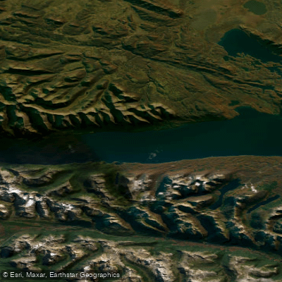
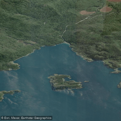
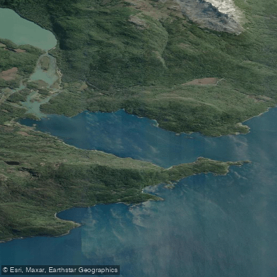
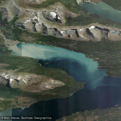
Lago Fagnano is a massive glacial lake straddling the border of Argentina and Chile on the main island of Tierra del Fuego. The lake stretches approximately 98 kilometers east to west, with a total surface area of 645 km², though only the westernmost 13.5 kilometers (roughly 39 km²) fall within Chilean territory in the Magallanes y la Antártica Chilena Region. Despite the relatively small Chilean portion, the lake's scale is immediately apparent on the water: it reaches a maximum depth of 449 meters and an average depth of 193.8 meters, giving it the character of a freshwater sea rather than a typical inland lake. Strong waves and whitecaps develop readily, particularly when the persistent Tierra del Fuego winds pick up.
The southern bank is steep, while the northern shore expands into a wide, flat piedmont with views of surrounding plateaus. The landscape shifts dramatically with the seasons — snow and frost dominate in winter, while warmer months bring a range of colors from blue and green to red and yellow in the surrounding vegetation. Wildlife includes albatross fishing on the lake surface and introduced beavers that have significantly altered the surrounding forest with their dams and felled trees. The calafate berry bush is a notable feature of the shoreline flora.
Chilean access to the lake runs through the central-southern part of the Tierra del Fuego archipelago via roads passing through forests, lakes, and mountains. The western end of the lake is the outlet of the Azopardo River, which drains toward the Almirantazgo Fjord (also referred to locally as Caleta María, approximately 12 kilometers from the lake's western shore). Road Y-85 provides access to the Chilean lakeshore.
The months of November through April offer the most daylight, ranging from roughly 12 to 17 hours, making this the most practical window for paddling. June through August brings only around 7 hours of daylight. Wind is a defining feature of the weather year-round and should be treated as a primary hazard; conditions can change quickly and generate significant wave action on this large, exposed body of water. Paddlers should plan accordingly for cold water temperatures given the lake's depth and sub-Antarctic latitude.
Water access, boat ramps & amenities
Learn how to get on Lago Fagnano. Uncover great paddling access points, boat ramps, and all the facilities you need for an unforgettable day on the water. Some locations shown may border or include private property. Always check property boundaries and applicable regulations before visiting. PaddleWays's Public & Private Land layer can help you plan your access with confidence.
Paddle smarter with real-time insights
Whether you're en route and conditions shift or you're looking for the best spot based on current flows, we enable you to make informed decisions on the fly.







Magallanes licenses and regulations
No licenses or regulations available for Magallanes.
Find Places to Paddle

Over 400,000 Places to Paddle
Every user gets free access to launch points, boat ramps, and public property parcels.


Water and weather conditions (10 day forecast)
See the best times to paddle Lago Fagnano and check the forecast before you go.
Lago Fagnano – Puerto Tolhuin
Explore Magallanes waters
Top paddling waters
No waters available right now.
Popular Cities
Loading popular cities...
Explore near Lago Fagnano
Nearby waters
More in Magallanes

Smarter Paddling Starts in the App.
Paddleways gives you everything you need to plan smarter, paddle better, and own every trip from first launch to takeout.