Paso Oglander
- Saltwater
- Strait
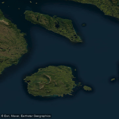
Paso Oglander
- Saltwater
- Strait
- Sq. miles
- 264
- Boat Ramps
- 0
- Access Points
- 2
- Campsites
- 0
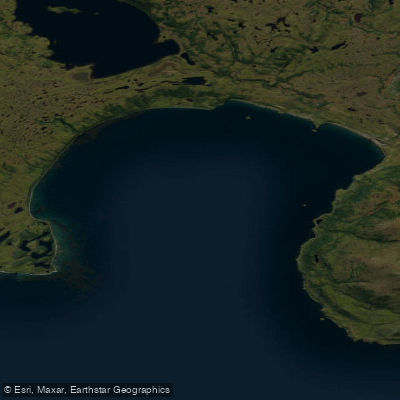
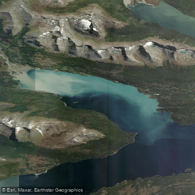
Paso Oglander is a marine strait connecting Bahía Oglander to the eastern arm of the main Beagle Channel, which forms the border between Chile and Argentina. This saltwater passage is approximately 14 kilometers wide at its mouth. The surrounding region is characterized by a cool, humid maritime climate with an average annual temperature of 6°C and precipitation distributed throughout the year, which can include snow at any time. Strong winds from the west, originating in the Pacific Ocean, frequently affect the area for much of the year, creating significant wind exposure and fetch for paddlers. The water body is part of a complex network of channels and passages, including Paso Picton to the northwest and Paso Goree to the southwest, leading to the open Pacific. The coastline features several small bays, peninsulas, and capes such as Cabo María, Cabo Hall, and Cabo Rees. The interior of Bahía Oglander is noted for having very few islands, with only one small islet near the southern coast of Isla Picton. Paddlers must be prepared for cold water temperatures year-round, frequent overcast or foggy conditions, and the potential for rapidly changing weather. The area's aesthetic is defined by its remote, rugged sub-Antarctic landscape.
Water access, boat ramps & amenities
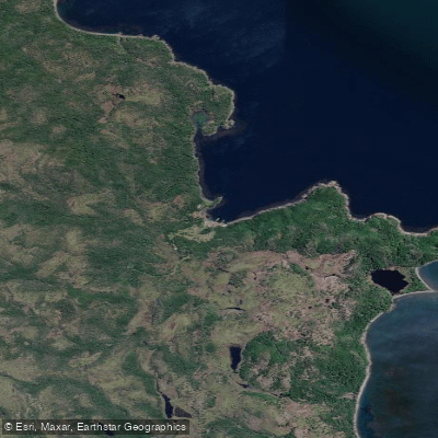
Learn how to get on Paso Oglander. Uncover great paddling access points, boat ramps, and all the facilities you need for an unforgettable day on the water. Some locations shown may border or include private property. Always check property boundaries and applicable regulations before visiting. PaddleWays's Public & Private Land layer can help you plan your access with confidence.
Paddle smarter with real-time insights
Whether you're en route and conditions shift or you're looking for the best spot based on current flows, we enable you to make informed decisions on the fly.







Magallanes licenses and regulations
No licenses or regulations available for Magallanes.
Find Places to Paddle

Over 400,000 Places to Paddle
Every user gets free access to launch points, boat ramps, and public property parcels.


Tides, wind & water conditions (10 day forecast)
On open water, wind and tide matter as much as the weather. See the best times to paddle Paso Oglander and check the marine forecast before you launch.
Loading tide predictions…
Explore Magallanes waters
Top paddling waters
No waters available right now.
Popular Cities
Loading popular cities...
Explore near Paso Oglander
Access points
Nearby waters
More in Magallanes

Smarter Paddling Starts in the App.
Paddleways gives you everything you need to plan smarter, paddle better, and own every trip from first launch to takeout.