Río Chovellén
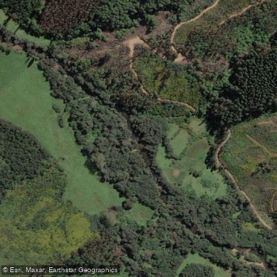
Río Chovellén
- Boat Ramps
- 0
- Access Points
- 0
- Campsites
- 0
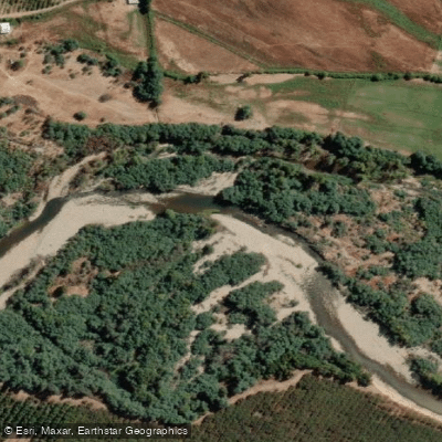
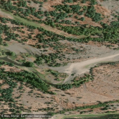
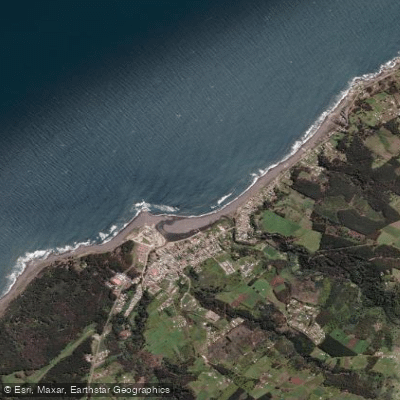
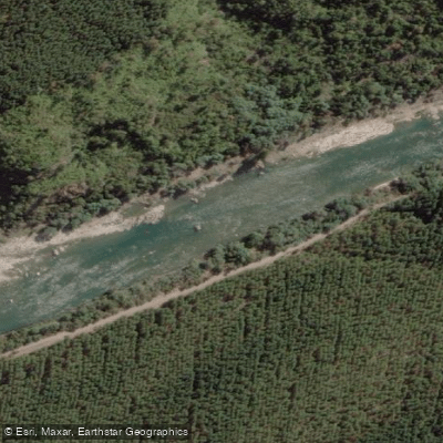
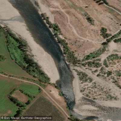
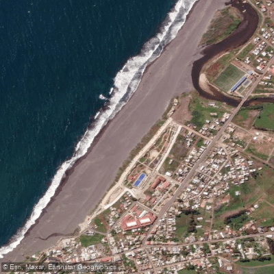
The Río Chovellén is located in the southwestern corner of the Maule Region, approximately 5 kilometers south of Curanipe, near the coastal locality of Chovellén. It is described as the third-largest river by discharge volume at its mouth along this stretch of coast, after the Río Maule and the Río Mataquito. The river flows through a landscape of beaches, rocky outcroppings, hills, and riparian forest before reaching the Pacific Ocean.
The paddleable stretch of the river covers roughly 5 kilometers total — approximately 2 kilometers downstream and 3 kilometers upstream from the bridge that crosses it. Access to the water is available from all four corners of this bridge, with the southeast entry point being one commonly used put-in. Guided kayak tours also depart from the river's mouth at Playa Cardonal, reached from the Plaza de Curanipe, and typically run for about four hours starting at 9:00 a.m.
The river is characterized by shallow water, calm currents, and clean conditions, making it suitable for kayaking, stand-up paddleboarding (SUP), sport fishing, and swimming. The surrounding environment includes rocky formations, at least one cave accessible from the water, and forested riverbanks. The area supports notable bird diversity, making it of interest to wildlife observers. The river mouth and coastal zone are described as visually striking year-round.
The shallow depth and gentle flow make this a low-difficulty paddling environment appropriate for families and beginners, though the coastal proximity means conditions near the mouth may vary with ocean influence. Summer (the Southern Hemisphere summer, roughly December through March) is the primary season for recreational use, with early 2021 reports noting particularly strong water levels at the start of that season. Guided tours are offered in Spanish, English, and French through at least one local operator, Tralka Road, based in Talca.
Accommodation is available nearby at Espacio Rio Chovellen, which caters specifically to river visitors and offers parking. No specific restrictions or regulations on paddling were identified for this river.
Water access, boat ramps & amenities
Learn how to get on Río Chovellén. Uncover great paddling access points, boat ramps, and all the facilities you need for an unforgettable day on the water. Some locations shown may border or include private property. Always check property boundaries and applicable regulations before visiting. PaddleWays's Public & Private Land layer can help you plan your access with confidence.
Paddle smarter with real-time insights
Whether you're en route and conditions shift or you're looking for the best spot based on current flows, we enable you to make informed decisions on the fly.







Maule licenses and regulations
No licenses or regulations available for Maule.
Find Places to Paddle

Over 400,000 Places to Paddle
Every user gets free access to launch points, boat ramps, and public property parcels.


Water and weather conditions (10 day forecast)
See the best times to paddle Río Chovellén and check the forecast before you go.
Rio Chovellen En El Risco
Paddling near Río Chovellén
Explore Maule waters
Top paddling waters
No waters available right now.
Popular Cities
Loading popular cities...
Explore near Río Chovellén
Access points
Nearby waters
More in Maule

Smarter Paddling Starts in the App.
Paddleways gives you everything you need to plan smarter, paddle better, and own every trip from first launch to takeout.