Río Achibueno
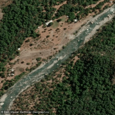
Río Achibueno
- Boat Ramps
- 0
- Access Points
- 0
- Campsites
- 3
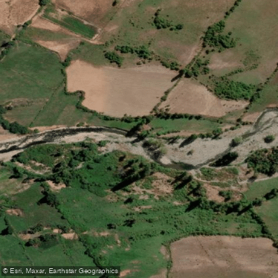
The Río Achibueno is a westward-flowing river in the Maule Region of central Chile, originating from Laguna Achibueno at the eastern base of the Nevado de Longaví stratovolcano in the Andes. From that glacial lake, the water drops dramatically into the area known as "Bajo de las Lástimas" before flowing approximately 105 kilometers through the communes of Colbún, Linares, and Longaví, ultimately emptying into the Loncomilla River as its largest tributary. The river drains a basin of roughly 1,191 square kilometers, with the Ancoa River joining near the town of Llepo as its main tributary.
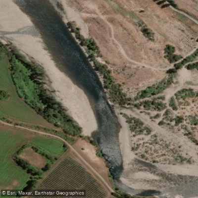
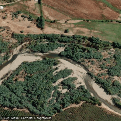
The lower section of the river is the primary paddling destination and is described as a long stretch that is mostly roadside. The put-in begins at the highest point accessible without a four-wheel-drive vehicle, making logistics relatively straightforward for most paddlers. The lower reaches feature calmer water suited to recreational paddling, while the upper reaches involve more dramatic terrain with cascading waterfalls and steep gorge scenery.
In December 2015, the Chilean government declared the Cajón del Río Achibueno a Nature Sanctuary under Decree 35, protecting nearly 4,600 hectares encompassing the entire watershed. Visitors to the sanctuary are subject to rules that include packing out all waste, prohibiting open fires, and not bringing pets due to the presence of vulnerable wildlife. Entry fees apply: as of 2025–2026, day access costs approximately 2,500 Chilean pesos per person, and camping is available at around 7,000 pesos per person with bathroom facilities and potable water.
The surrounding cajón features virgin native forest, high Andean mountain scenery, and clear waters. The river is located about 32 kilometers from Linares, with paved road extending to kilometer 31 and the final kilometer on a dirt road passable by standard vehicles. Accommodation options exist in the area, including yurt-style lodging that also offers kayaking as an organized activity. The river sits roughly 300 kilometers south of Santiago.
Water access, boat ramps & amenities
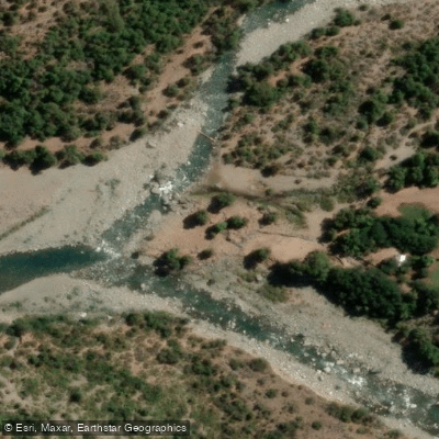
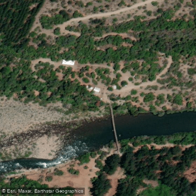
Learn how to get on Río Achibueno. Uncover great paddling access points, boat ramps, and all the facilities you need for an unforgettable day on the water. Some locations shown may border or include private property. Always check property boundaries and applicable regulations before visiting. PaddleWays's Public & Private Land layer can help you plan your access with confidence.
Paddle smarter with real-time insights
Whether you're en route and conditions shift or you're looking for the best spot based on current flows, we enable you to make informed decisions on the fly.







Maule licenses and regulations
No licenses or regulations available for Maule.
Find Places to Paddle

Over 400,000 Places to Paddle
Every user gets free access to launch points, boat ramps, and public property parcels.


Water and weather conditions (10 day forecast)
See the best times to paddle Río Achibueno and check the forecast before you go.
Rio Achibueno En La Recova
Paddling near Río Achibueno
Explore Maule waters
Top paddling waters
No waters available right now.
Popular Cities
Loading popular cities...
Explore near Río Achibueno
Access points
Nearby waters
More in Maule

Smarter Paddling Starts in the App.
Paddleways gives you everything you need to plan smarter, paddle better, and own every trip from first launch to takeout.