Río Claro
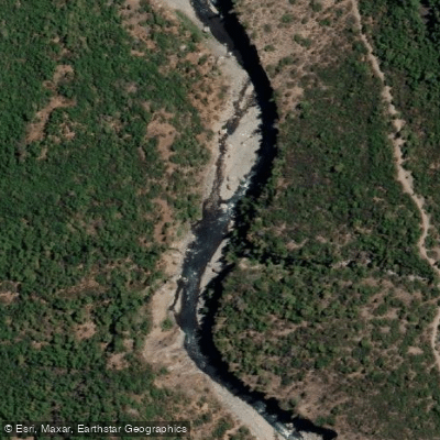
Río Claro
- Boat Ramps
- 0
- Access Points
- 0
- Campsites
- 0
The Río Claro is located in the Maule Region of central Chile, within the Parque Nacional Radal Siete Tazas, roughly four hours south of Santiago near the town of Molina. The river carves deep into the surrounding terrain through narrow basalt canyons formed by glacial and volcanic activity over tens of millions of years, producing a concentration of clean, committing waterfalls that make it one of the most technically demanding and visually striking whitewater destinations in South America. The water runs crystal clear through these polished rock corridors, and the canyon walls are extremely narrow in places, limiting eddy size and making large groups impractical and potentially dangerous.
The river is commonly divided into several distinct sections. The uppermost is the 22 Saltos (Veintidos Saltos), a Class IV/IV+ run featuring 22 consecutive waterfalls. The tallest drops come early in the section, most rapids cannot be scouted from the water, and there are no portages — first-timers should go with someone who knows the run. Access requires approximately a two-kilometer hike upstream from Parque Ingles on river right, with the take-out at the Parque Ingles bridge. Below that lies the Entre Saltos section, which contains the iconic Garganta del Diablo, a 180-degree two-tiered drop of roughly 20 feet into another 20-foot fall. The take-out for this section is mandatory — the river drops into a siphon between Entre Saltos and the next section downstream, so paddlers must exit at the stairs near the bridge upstream of the Siete Tazas parking area. The Siete Tazas section consists of seven waterfalls, with only the first drop — a sloping 15-footer — visible before committing to the rest of the run.
Paddling within the park requires a daily pass purchased online in advance, which must be presented to park staff. The park is open Tuesday through Sunday and closed on Mondays. Park staff may inspect kayaking gear on entry. Access to some sections involves arid hikes of roughly 40 minutes to an hour carrying boats, and paddlers should arrive in good physical condition. Lodging options near the 22 Saltos section include cabins and camping. Spring is noted as a particularly good time to visit. The invasive aquatic plant Limnobium laevigatum has been documented in the river system.
Water access, boat ramps & amenities
Learn how to get on Río Claro. Uncover great paddling access points, boat ramps, and all the facilities you need for an unforgettable day on the water. Some locations shown may border or include private property. Always check property boundaries and applicable regulations before visiting. PaddleWays's Public & Private Land layer can help you plan your access with confidence.
Paddle smarter with real-time insights
Whether you're en route and conditions shift or you're looking for the best spot based on current flows, we enable you to make informed decisions on the fly.







Maule licenses and regulations
No licenses or regulations available for Maule.
Find Places to Paddle

Over 400,000 Places to Paddle
Every user gets free access to launch points, boat ramps, and public property parcels.


Water and weather conditions (10 day forecast)
See the best times to paddle Río Claro and check the forecast before you go.
Rio Teno En Los Queñes
All Flow Stations
Paddling near Río Claro
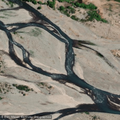
Río Teno
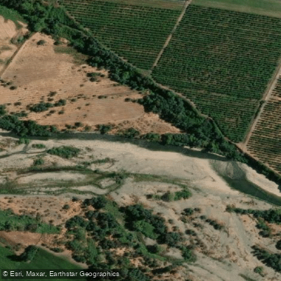
Río Claro
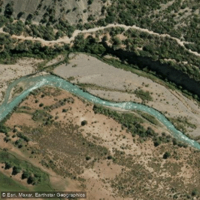
Rio Cachapoal
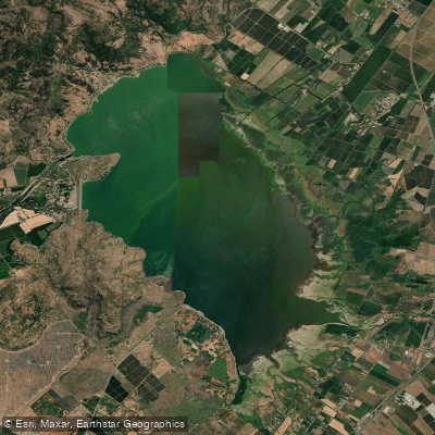
Embalse Convento Viejo
Estero Los Robles
Estero Nilahue
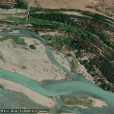
Río Maule
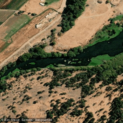
Río Claro
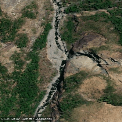
Río Claro
Explore Maule waters
Top paddling waters
No waters available right now.
Popular Cities
Loading popular cities...
Explore near Río Claro
Access points
Nearby waters
More in Maule

Smarter Paddling Starts in the App.
Paddleways gives you everything you need to plan smarter, paddle better, and own every trip from first launch to takeout.