Río Maule
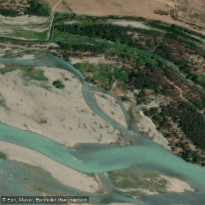
Río Maule
- Boat Ramps
- 0
- Access Points
- 1
- Campsites
- 0
The Río Maule is one of Chile's most historically significant rivers, originating at Laguna del Maule in Talca Province at an elevation of approximately 2,200 meters near the Argentine border. The river runs roughly 240 kilometers westward through the Maule Region, draining a basin of around 20,600 km², with about 30 percent of that basin lying within the Andean range. Before reaching the central valley, the river is impounded by the Colbún dam, which feeds a major hydroelectric station of the same name. Key tributaries joining the Maule include the Melado River on the left bank and the Colorado, Claro, Puelche, and Cipreses rivers on the right bank.
For paddlers, the Maule offers approximately 21 kilometers of whitewater ranging from Class 3 to Class 5, with a notably big-water character. The river is described as carrying warm water, which distinguishes it from many of Chile's colder Andean runs. Navigation to the put-in can be complex, though the paddling experience is considered well worth the effort.
The Maule River carries considerable cultural and historical weight in Chile. It marked the southern boundary of the Inca Empire and has played a role in the country's colonial history, wars of independence, and agricultural development, particularly in relation to the Maule wine valley, a recognized viticultural appellation within Chile's Central Valley wine region.
Water access, boat ramps & amenities
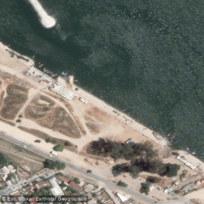
Learn how to get on Río Maule. Uncover great paddling access points, boat ramps, and all the facilities you need for an unforgettable day on the water. Some locations shown may border or include private property. Always check property boundaries and applicable regulations before visiting. PaddleWays's Public & Private Land layer can help you plan your access with confidence.
Paddle smarter with real-time insights
Whether you're en route and conditions shift or you're looking for the best spot based on current flows, we enable you to make informed decisions on the fly.







Maule licenses and regulations
No licenses or regulations available for Maule.
Find Places to Paddle

Over 400,000 Places to Paddle
Every user gets free access to launch points, boat ramps, and public property parcels.


Water and weather conditions (10 day forecast)
See the best times to paddle Río Maule and check the forecast before you go.
Vertedero Embalse Colbun
All Flow Stations
Paddling near Río Maule
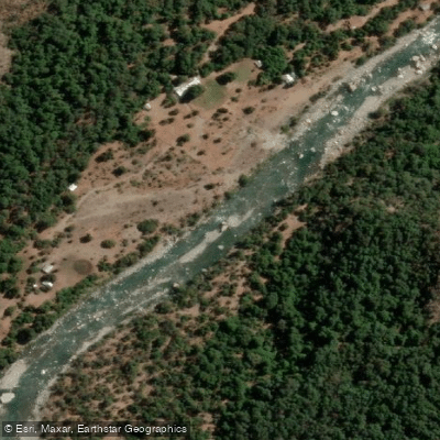
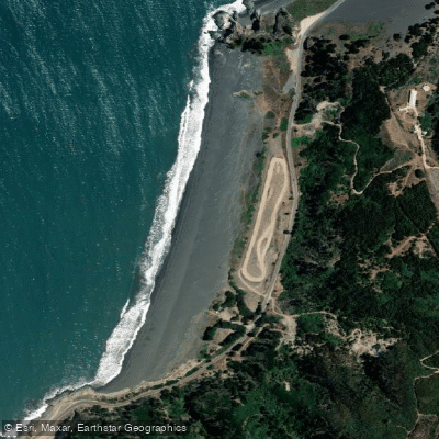
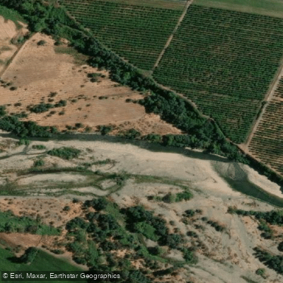
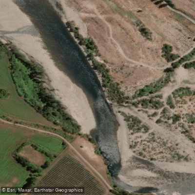
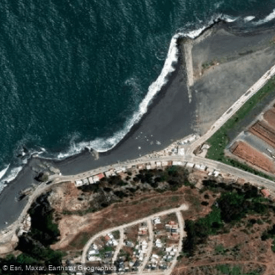
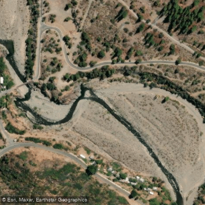
Explore Maule waters
Top paddling waters
No waters available right now.
Popular Cities
Loading popular cities...
Explore near Río Maule
Access points
Nearby waters
More in Maule

Smarter Paddling Starts in the App.
Paddleways gives you everything you need to plan smarter, paddle better, and own every trip from first launch to takeout.