Lago Rapel
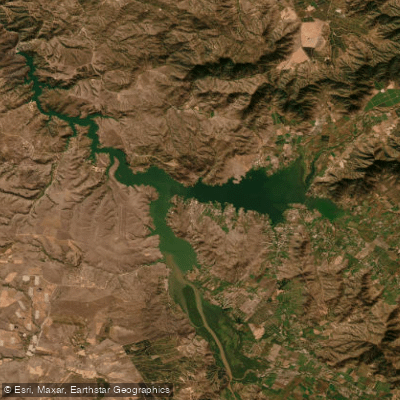
Lago Rapel
- Boat Ramps
- 0
- Access Points
- 8
- Campsites
- 12
Lago Rapel, also known as Embalse Rapel, is an artificial reservoir located in the Libertador General Bernardo O'Higgins Region of central Chile, at coordinates 34°08′S 71°30′W. The lake was created by a dam on the Rapel River and was originally constructed to feed the Rapel Hydroelectric Plant. It covers a surface area of 80 square kilometers and sits at an elevation of 110 meters above sea level.
The reservoir is fed by two primary rivers: the Cachapoal and the Tinguiririca, which converge at the upper end of the lake to form its headwaters. This confluence zone, where the two rivers meet and the lake begins, is an area used for kayaking and stand-up paddleboarding, with local operators offering guided experiences there. The Rapel River serves as the primary outflow.
The lake is surrounded by natural landscapes and is known for its sunsets over the water. Recreational use is well established, with private properties, condominiums, and rental accommodations offering direct lake access, private docks, and kayaks for guests. The area supports a range of water-based activities including kayaking, SUP, and raft fishing.
In terms of wildlife and fishing, the lake hosts Argentinian silverside and common carp as the most commonly caught species, with rainbow trout present in nearby waterways. The broader area supports local biodiversity that can be observed from the water.
Facilities for paddlers vary by access point. Some private condominium areas provide 24-hour security, common docks, and lake access. Rental properties along the shoreline offer direct beach access and pier facilities. The lake's size and relatively calm reservoir character make it suitable for recreational paddling, though paddlers should be aware of boat traffic given the lake's popularity as a general recreation destination.
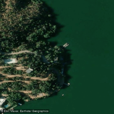
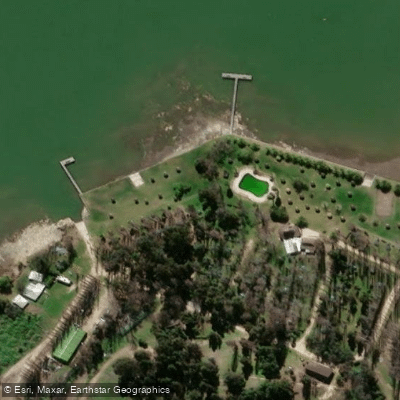
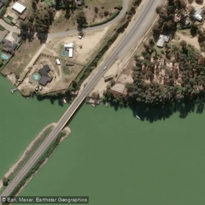
Water access, boat ramps & amenities
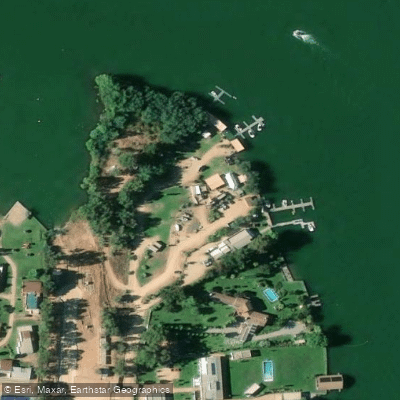
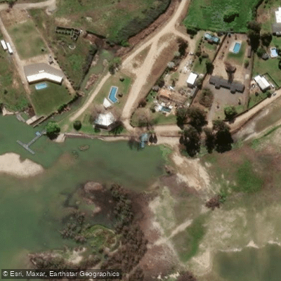
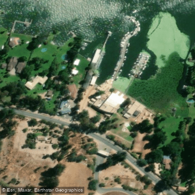
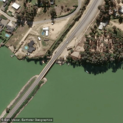
Learn how to get on Lago Rapel. Uncover great paddling access points, boat ramps, and all the facilities you need for an unforgettable day on the water. Some locations shown may border or include private property. Always check property boundaries and applicable regulations before visiting. PaddleWays's Public & Private Land layer can help you plan your access with confidence.
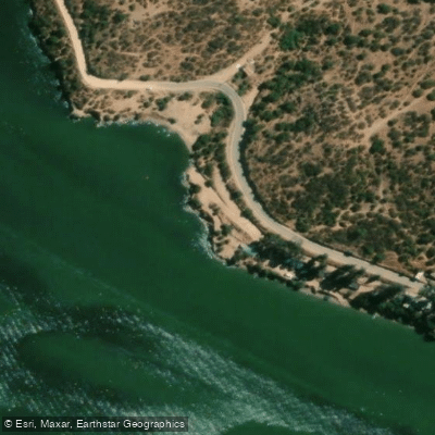
Paddle smarter with real-time insights
Whether you're en route and conditions shift or you're looking for the best spot based on current flows, we enable you to make informed decisions on the fly.







O'higgins licenses and regulations
No licenses or regulations available for O'higgins.
Find Places to Paddle

Over 400,000 Places to Paddle
Every user gets free access to launch points, boat ramps, and public property parcels.


Water and weather conditions (10 day forecast)
See the best times to paddle Lago Rapel and check the forecast before you go.
No forecast data available.
Paddling near Lago Rapel
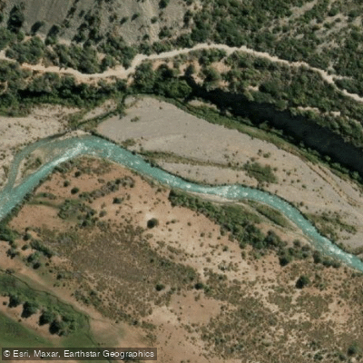
Rio Cachapoal
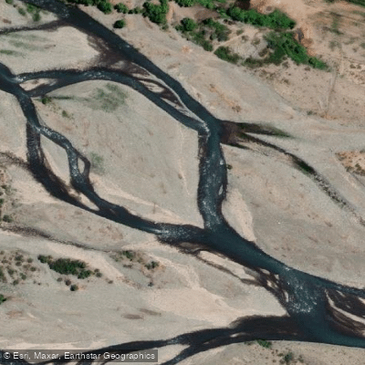
Río Teno
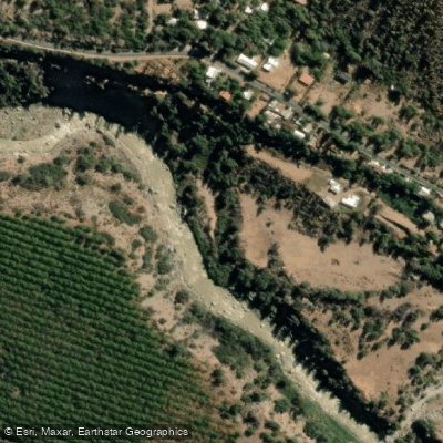
Rio Maipo
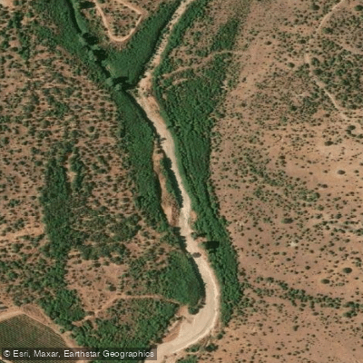
Estero Las Cadenas
Quebrada Los Quilos
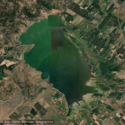
Embalse Convento Viejo
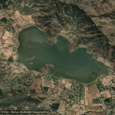
Laguna de Aculeo
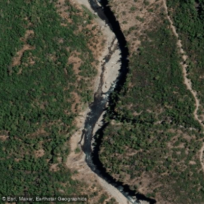
Río Claro
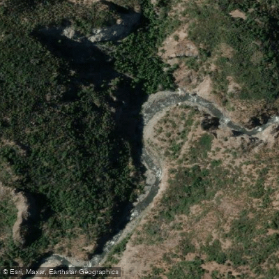
Rio Clarillo
Explore O'higgins waters
Top paddling waters
No waters available right now.
Popular Cities
Loading popular cities...
Explore near Lago Rapel
Access points
Nearby waters
More in O'higgins

Smarter Paddling Starts in the App.
Paddleways gives you everything you need to plan smarter, paddle better, and own every trip from first launch to takeout.