Rio Maipo
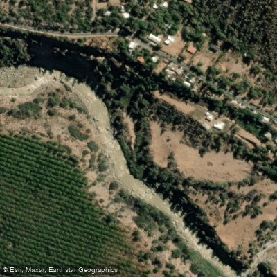
Rio Maipo
- Boat Ramps
- 0
- Access Points
- 0
- Campsites
- 1
The Rio Maipo is the primary training ground for Santiago's kayaking community and sits roughly one hour from the city in the Cajón del Maipo, a canyon at the foot of the Andes. The river is typically divided into two distinct runs — the Lower and the Upper — each offering a different level of challenge.
The Lower Maipo covers approximately 8 km between the put-in at KM47 above San Alfonso and the takeout at KM39 just above Puente Toyo near El Melocotón. This run is predominantly class III with one mini canyon just below San Alfonso that grades class IV at high water. The run typically takes about one hour. It can be extended by taking out further downstream at Parque Los Heroes in San José de Maipo. Flows on the lower section vary considerably, ranging from around 1,000 CFS in autumn to roughly 7,500 CFS during peak spring runoff. Hazards include large holes and diversionary water intake structures along the route.
The Upper Maipo is a more demanding proposition. The put-in is at Puente El Yeso, approximately 2 km upstream from San Gabriel, where paddlers run the final stretch of the Yeso into the Maipo. The character is predominantly class III–IV, escalating sharply at a feature known as Frenchman's Corner — named after a paddler who rounded the bend unaware and encountered serious whitewater. At very high flows this entire upper stretch can reach class V+, and even at extreme low water it holds solid class IV. In September the upper section runs around class III/IV, climbing to V+ by December. The annual Rey del Maipo extreme kayaking competition is held at Frenchman's Corner each September.
Flows are sustained year-round by Andean snowmelt, making the river viable across all seasons. Commercial rafting operations run from September through winter on the lower section, with the summer months of December through March generally considered the warmest period for being on the water. Paved road access runs alongside the canyon, making logistics straightforward. The area offers plentiful accommodation and dining options, and the broader Cajón del Maipo supports a range of other outdoor activities that make it a practical base for multi-day trips.
Water access, boat ramps & amenities
Learn how to get on Rio Maipo. Uncover great paddling access points, boat ramps, and all the facilities you need for an unforgettable day on the water. Some locations shown may border or include private property. Always check property boundaries and applicable regulations before visiting. PaddleWays's Public & Private Land layer can help you plan your access with confidence.
Paddle smarter with real-time insights
Whether you're en route and conditions shift or you're looking for the best spot based on current flows, we enable you to make informed decisions on the fly.







Santiago Metropolitan licenses and regulations
No licenses or regulations available for Santiago Metropolitan.
Find Places to Paddle

Over 400,000 Places to Paddle
Every user gets free access to launch points, boat ramps, and public property parcels.


Water and weather conditions (10 day forecast)
See the best times to paddle Rio Maipo and check the forecast before you go.
Rio Maipo En Las Hualtatas
All Flow Stations
Paddling near Rio Maipo
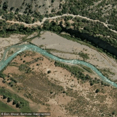
Rio Cachapoal
Rio Mapocho
Rio Yeso
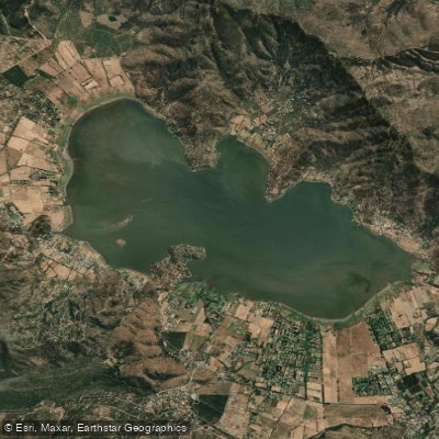
Laguna de Aculeo
Rio Colorado
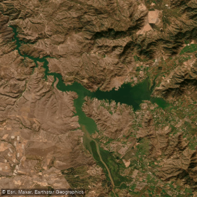
Lago Rapel
Rio Clarillo
Quebrada Peumo
Rio Volcan
Explore Santiago Metropolitan waters
Top paddling waters
No waters available right now.
Popular Cities
Loading popular cities...
Explore near Rio Maipo
Access points
Nearby waters
More in Santiago Metropolitan

Smarter Paddling Starts in the App.
Paddleways gives you everything you need to plan smarter, paddle better, and own every trip from first launch to takeout.