Paddling in Pumalín Douglas Tompkins National Park
- National Park
- Lakes
- 6
- Rivers
- 28
- Access
- 0
- Boat Ramps
- 1
- Shops
- 0
Pumalín Douglas Tompkins National Park sits at the northern end of the Carretera Austral in Chile's Los Lagos Region, where temperate rainforest, fjords, volcanoes, and the Andes converge in a landscape that receives up to four metres of rain a year.
The name itself comes from the Huilliche language and means "watery place" — an apt description for a park that holds rivers, lakes, fjords, and coastal channels across nearly a million acres. The fjord paddling is the park's defining water experience.
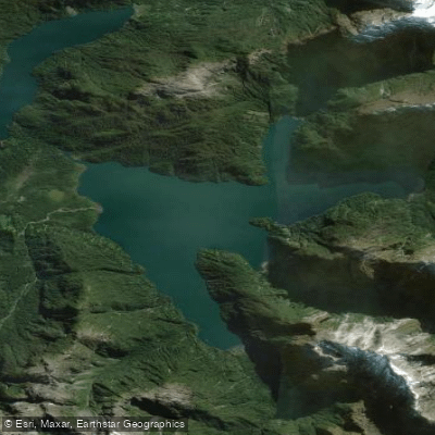
The Comao and Reñihué fjords are navigable by sea kayak, and the Quintupeu Fjord and the waters around Cahuelmo are part of established multi-day routes.
These passages connect sea lion colonies, thermal springs at Porcelana, and coastline that has no road access at all — the kayak is the only way in.
The season for this kind of travel runs November through April, when conditions are most manageable, though the weather here is never predictable.
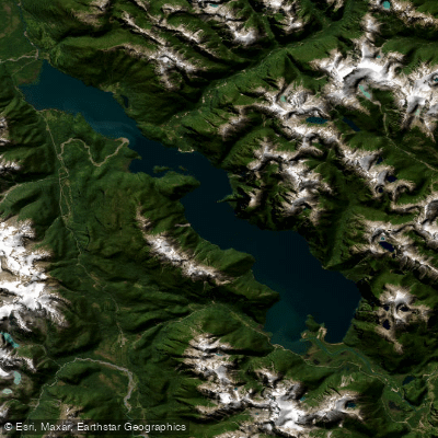
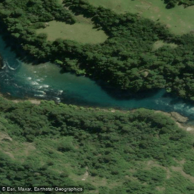
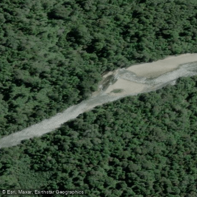
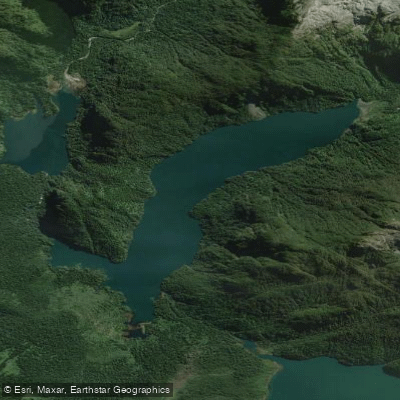
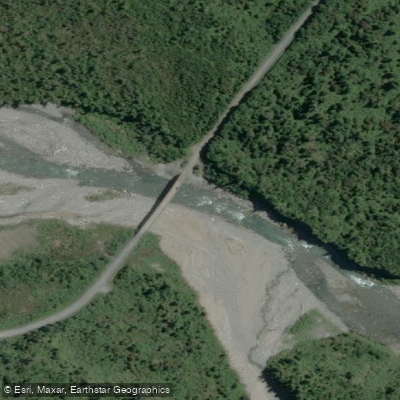
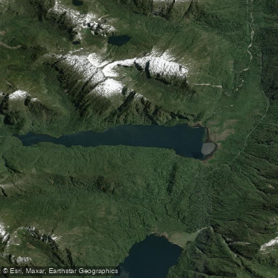
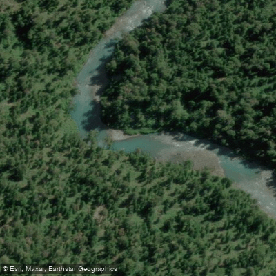
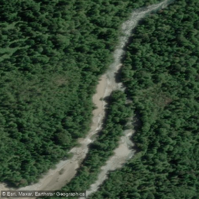
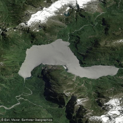
Lago Negro and Lago Blanco sit inside the park and have CONAF-managed campgrounds nearby, making them natural stopping points for paddlers moving through the interior. The Río Negro runs east of Chaitén through a valley that parallels the Carretera Austral.
Lago Inferior is another park water, though it sees less traffic than the fjord routes.
The Río Futaleufú and Lago Yelcho lie in the broader region and draw paddlers to this corner of Patagonia, but the park's own character is defined more by salt water and stillwater than by whitewater. CONAF has administered the park since April 2019.
Entrance to the park and its trails is free; camping fees apply at designated areas including Lago Negro and Lago Blanco campgrounds. There is no cell signal or electricity inside the park.
Check current rules and campground availability directly with CONAF before launching any multi-day trip — conditions and access points along this stretch of the Carretera Austral change, and the ferry crossings required to reach Caleta Gonzalo must be booked in advance.
The rain that makes this place green also makes it serious. Plan accordingly.
Top waters to paddle near Pumalin Douglas Tompkins National Park
Water and weather conditions (10 day forecast)
See the best times to paddle Pumalín Douglas Tompkins National Park and check the forecast before you go.
No forecast data available.
Paddle smarter with real-time insights
Whether you're en route and conditions shift or you're looking for the best spot based on current flows, we enable you to make informed decisions on the fly.







Paddling near Pumalín Douglas Tompkins National Park
Loading...
Gateway towns
Where to base yourself for paddling in Pumalín Douglas Tompkins National Park.
- ChaiténLos Lagos
Main southern gateway with the most services, ferry arrivals from Puerto Montt, and direct access to the park's southern sector.
- El AmarilloLos Lagos
Designated gateway village at the southern park entrance, with infrastructure built specifically to serve park visitors.
- Caleta GonzaloLos Lagos
Northern park entrance reached by ferry, with first-class camping and visitor infrastructure inside the park boundary.
Explore Pumalín Douglas Tompkins National Park
Top paddling waters
Popular Cities
Loading popular cities...

Smarter Paddling Starts in the App.
Paddleways gives you everything you need to plan smarter, paddle better, and own every trip from first launch to takeout.