Rio Clarillo
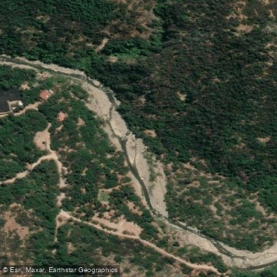
Rio Clarillo
- Boat Ramps
- 0
- Access Points
- 0
- Campsites
- 1
The Río Clarillo is a springtime creek run located in the Pirque sector of the Región Metropolitana de Santiago, approximately 45 kilometers from the city center. The river is notable for its crystal clear water moving over granite boulders — a characteristic that sets it apart from the more turbid glacial rivers common elsewhere in the Santiago area. The river runs through a north-south trench carved into an Andean granitic batholith, with the surrounding terrain ranging in elevation from roughly 850 meters to over 3,000 meters above sea level.
The river gives its name to the Parque Nacional Río Clarillo, which was originally established as a reserve in 1982 and elevated to National Park status in 2020. The park covers 13,085 hectares and is the first National Park in the Metropolitan Region. Under the National Park designation, activities that pose any risk to the environment or biodiversity are prohibited, and all visits are subject to strict conservation measures. Paddlers should verify with park authorities whether access to the river for paddling is permitted under current regulations before planning a trip.
Given its description as a springtime run, flows are likely seasonal and dependent on snowmelt, making timing critical for anyone planning a visit. The river corridor passes through habitat supporting condors, native foxes, and various bird species, and the area contains archaeological remains of cultural significance.
Water access, boat ramps & amenities
Learn how to get on Rio Clarillo. Uncover great paddling access points, boat ramps, and all the facilities you need for an unforgettable day on the water. Some locations shown may border or include private property. Always check property boundaries and applicable regulations before visiting. PaddleWays's Public & Private Land layer can help you plan your access with confidence.
Paddle smarter with real-time insights
Whether you're en route and conditions shift or you're looking for the best spot based on current flows, we enable you to make informed decisions on the fly.







Santiago Metropolitan licenses and regulations
No licenses or regulations available for Santiago Metropolitan.
Find Places to Paddle

Over 400,000 Places to Paddle
Every user gets free access to launch points, boat ramps, and public property parcels.


Water and weather conditions (10 day forecast)
See the best times to paddle Rio Clarillo and check the forecast before you go.
No forecast data available.
Paddling near Rio Clarillo
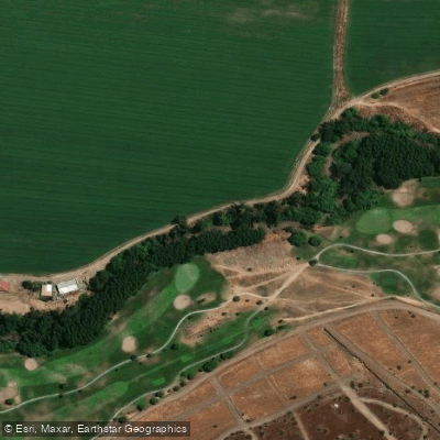
Rio Mapocho
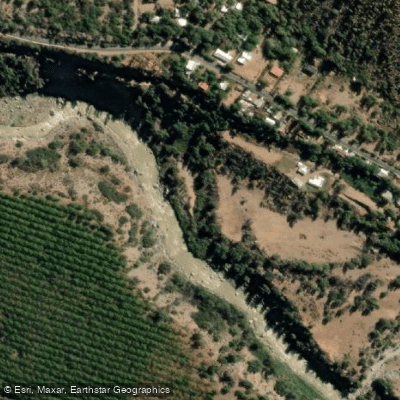
Rio Maipo
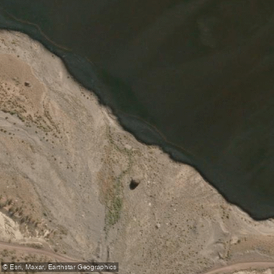
Rio Colorado
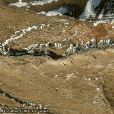
Rio Yeso
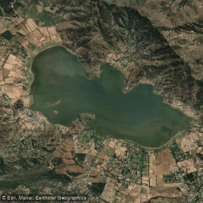
Laguna de Aculeo
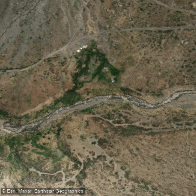
Rio Volcan
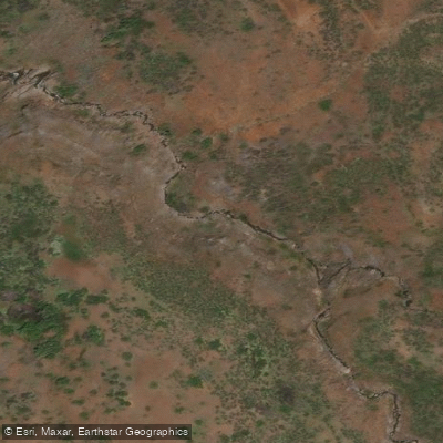
Estero El Sauce
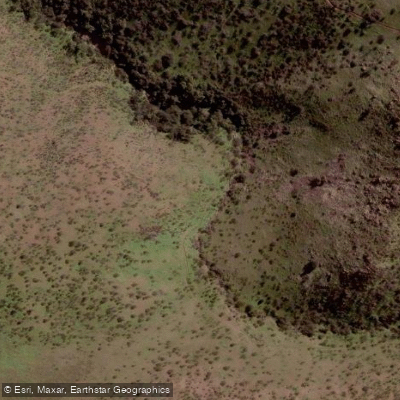
Quebrada El Chingue
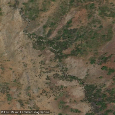
Estero De Los Toyos
Explore Santiago Metropolitan waters
Top paddling waters
No waters available right now.
Popular Cities
Loading popular cities...
Explore near Rio Clarillo
Nearby waters
More in Santiago Metropolitan

Smarter Paddling Starts in the App.
Paddleways gives you everything you need to plan smarter, paddle better, and own every trip from first launch to takeout.