Rio Mapocho
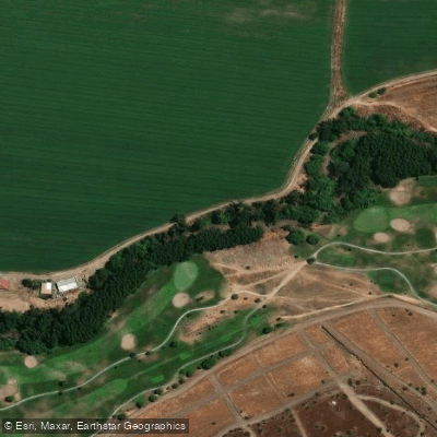
Rio Mapocho
- Boat Ramps
- 0
- Access Points
- 0
- Campsites
- 0
The Rio Mapocho is an approximately 110-kilometer river that flows through the center of Santiago, passing through 16 municipalities before joining the Maipo River. It is an urban waterway in the fullest sense — paddlers share its corridor with bridges, city infrastructure, and dense residential neighborhoods on both banks.
Under normal conditions, the river carries too little water for kayaking. Paddling becomes viable only after significant winter rainfall, typically concentrated in the June through August period, when water levels can rise enough to float a kayak through the city. Even then, opportunities are irregular and depend entirely on precipitation in a given season. Paddlers should assess current flow conditions carefully before attempting any run.
One documented urban route runs between Padre Mariano and Parque Bicentenario, offering a passage through the heart of Santiago. A section between Vitacura and Lo Barnechea has been designated an urban wetland, recognizing its recovering ecological value and providing some degree of environmental protection to that stretch.
Water quality has improved substantially over the past decade following the diversion of wastewater to treatment plants, which had previously discharged directly into the river. Wildlife has responded to this improvement, with Andean catfish, freshwater crabs, coipu, and yellow-billed pintails now present in sections of the river. Despite these gains, garbage remains visible along stretches of the banks, and paddlers should expect an urban rather than wilderness aesthetic throughout.
The river's fragmented administration across 16 municipalities means conditions, access, and maintenance vary considerably from one section to the next. Paddlers considering the Mapocho should treat it as an opportunistic, rain-dependent urban run rather than a reliably scheduled destination.
Water access, boat ramps & amenities
Learn how to get on Rio Mapocho. Uncover great paddling access points, boat ramps, and all the facilities you need for an unforgettable day on the water. Some locations shown may border or include private property. Always check property boundaries and applicable regulations before visiting. PaddleWays's Public & Private Land layer can help you plan your access with confidence.
Paddle smarter with real-time insights
Whether you're en route and conditions shift or you're looking for the best spot based on current flows, we enable you to make informed decisions on the fly.







Santiago Metropolitan licenses and regulations
No licenses or regulations available for Santiago Metropolitan.
Find Places to Paddle

Over 400,000 Places to Paddle
Every user gets free access to launch points, boat ramps, and public property parcels.


Water and weather conditions (10 day forecast)
See the best times to paddle Rio Mapocho and check the forecast before you go.
Rio Molina Antes Junta San Francisco
All Flow Stations
Paddling near Rio Mapocho
Rio Maipo
Rio Colorado
Rio Clarillo
Rio Yeso
Laguna de Aculeo
Rio Volcan
Estero Los Pejerreyes
Estero El Sauce
Quebrada El Chingue
Explore Santiago Metropolitan waters
Top paddling waters
No waters available right now.
Popular Cities
Loading popular cities...
Explore near Rio Mapocho
Access points
Nearby waters
More in Santiago Metropolitan

Smarter Paddling Starts in the App.
Paddleways gives you everything you need to plan smarter, paddle better, and own every trip from first launch to takeout.