Rio Yeso
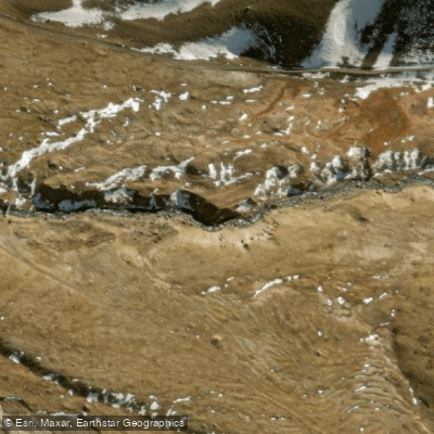
Rio Yeso
- Boat Ramps
- 0
- Access Points
- 0
- Campsites
- 0
The Rio Yeso is a class 4+/5- creek run located in the headwaters of the Maipo Valley, in the Santiago Metropolitan Region of Chile. The river takes its name from a historic limestone mine in the area, and its waters reflect a color reminiscent of limestone. The run is approximately 3 kilometers long and begins at an elevation of around 1,480 meters above sea level. The river is a tributary of the Maipo River, joining it downstream at the take-out point, where paddlers can continue onto the upper Maipo.
The character of the run is steep and continuous, featuring many rocks, steep drops, and narrow chutes. Rapids range between class IV and V, making this a technical creek run suited to experienced paddlers comfortable with committing whitewater. The river is fed by snowmelt from the high Andean peaks near the Argentine border, with the highest point in the area being Cerro Marmolejo.
The best season for paddling the Yeso is October through November, when snowmelt generates reliable flows. The river is situated roughly 98 kilometers southeast of Santiago, making it a feasible day trip from the city, though access to the broader Cajón de Maipo area requires navigating unpaved roads, and portions of the upper valley are only accessible by 4x4 vehicle.
The surrounding landscape is defined by the high Andes, with snow-covered peaks visible throughout the run. Upstream of the paddling section, the Embalse El Yeso — a reservoir completed in 1964 with a capacity of 250 million cubic meters — serves as a major drinking water source for Santiago. The reservoir is known for its turquoise-hued water, a visual characteristic that extends to the river itself. The broader Cajón de Maipo corridor, through which the Yeso flows before joining the Maipo, is the primary hub for outdoor activity in the Santiago region, and paddlers will find the area well-traveled by visitors to the canyon.
Water access, boat ramps & amenities
Learn how to get on Rio Yeso. Uncover great paddling access points, boat ramps, and all the facilities you need for an unforgettable day on the water. Some locations shown may border or include private property. Always check property boundaries and applicable regulations before visiting. PaddleWays's Public & Private Land layer can help you plan your access with confidence.
Paddle smarter with real-time insights
Whether you're en route and conditions shift or you're looking for the best spot based on current flows, we enable you to make informed decisions on the fly.







Santiago Metropolitan licenses and regulations
No licenses or regulations available for Santiago Metropolitan.
Find Places to Paddle

Over 400,000 Places to Paddle
Every user gets free access to launch points, boat ramps, and public property parcels.


Water and weather conditions (10 day forecast)
See the best times to paddle Rio Yeso and check the forecast before you go.
Rio Yeso Antes Junta Rio Maipo
All Flow Stations
Paddling near Rio Yeso
Rio Mapocho
Rio Maipo
Rio Colorado
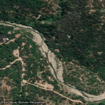
Rio Clarillo
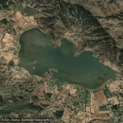
Laguna de Aculeo
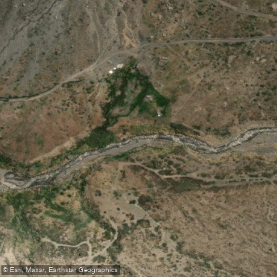
Rio Volcan
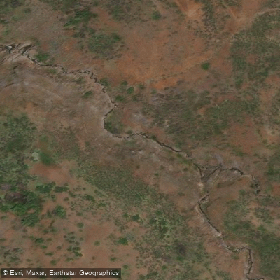
Estero El Sauce
Quebrada El Chingue
Estero De Los Toyos
Explore Santiago Metropolitan waters
Top paddling waters
No waters available right now.
Popular Cities
Loading popular cities...
Explore near Rio Yeso
Access points
Nearby waters
More in Santiago Metropolitan

Smarter Paddling Starts in the App.
Paddleways gives you everything you need to plan smarter, paddle better, and own every trip from first launch to takeout.