Loch Goil
- Saltwater
- Sound
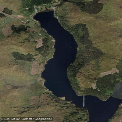
Loch Goil
- Saltwater
- Sound
- Sq. miles
- 3.7
- Boat Ramps
- 0
- Access Points
- 0
- Campsites
- 0
Loch Goil is a fjord-like sea loch, an arm of Loch Long, located within the Loch Lomond and The Trossachs National Park in Argyll and Bute. This saltwater feature is surrounded by dramatic mountain scenery, including the rugged Arrochar Alps, creating a sheltered and picturesque environment for paddling. The loch is designated as a Nature Conservation Marine Protected Area, indicating high ecological value and diverse wildlife. Paddlers can expect to spot seal colonies, porpoises, and various seabirds such as eider ducks, gannets, and oystercatchers. A notable historical landmark on the west shore is Carrick Castle, a 14th-century tower house. The village of Lochgoilhead sits at the head of the loch and serves as a hub for outdoor activities. Key access points for launching include beaches near Carrick Castle and at Lochgoilhead, where parking is available. The area is also used by other boat traffic, including self-drive motorboat rentals and, as Loch Goil connects to Loch Long, users must be aware of the broader maritime regulations of the Clyde Dockyard Ports. As a sea loch, paddlers must anticipate tidal influence and should consult local tide tables for Loch Long. The waters are generally sheltered, which can make for peaceful paddling, but paddlers should remain vigilant for boat traffic, especially near the junction with Loch Long. There are no dedicated facilities for visiting boaters within the loch, but village-style provisions can be obtained. The overall character is one of a tranquil, nature-focused paddle amidst significant historical and natural scenery.
Water access, boat ramps & amenities
Learn how to get on Loch Goil. Uncover great paddling access points, boat ramps, and all the facilities you need for an unforgettable day on the water. Some locations shown may border or include private property. Always check property boundaries and applicable regulations before visiting. PaddleWays's Public & Private Land layer can help you plan your access with confidence.
Paddle smarter with real-time insights
Whether you're en route and conditions shift or you're looking for the best spot based on current flows, we enable you to make informed decisions on the fly.







Scotland licenses and regulations

Find Places to Paddle

Over 400,000 Places to Paddle
Every user gets free access to launch points, boat ramps, and public property parcels.


Tides, wind & water conditions (10 day forecast)
On open water, wind and tide matter as much as the weather. See the best times to paddle Loch Goil and check the marine forecast before you launch.
Loading tide predictions…
Paddling near Loch Goil
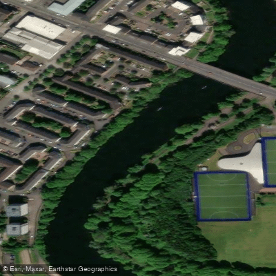
River Clyde
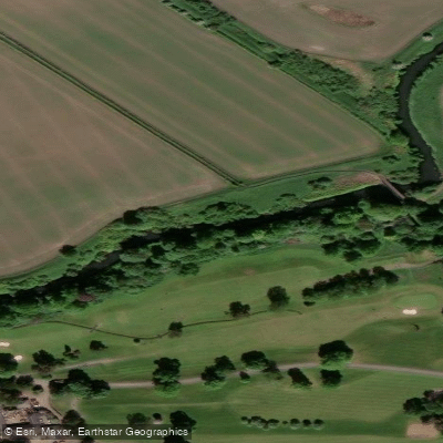
River Kelvin
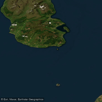
Firth of Clyde
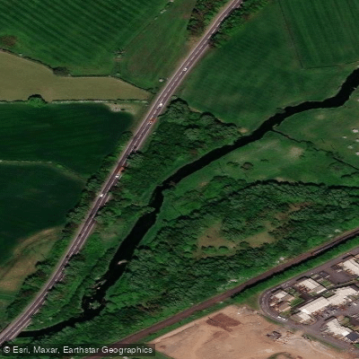
Black Cart Water
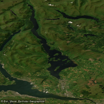
Loch Lomond
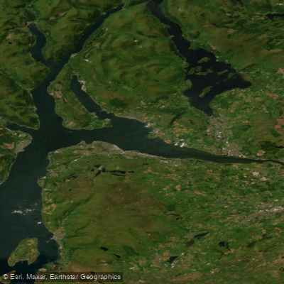
Clyde Estuary - Outer
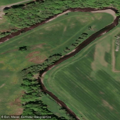
Endrick Water
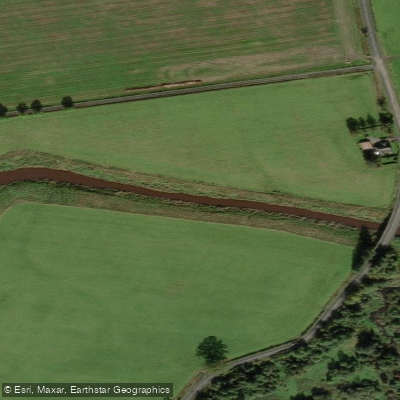
River Forth
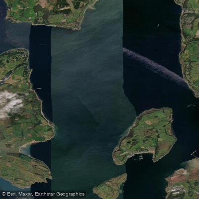
Firth of Clyde Inner - Cumbraes
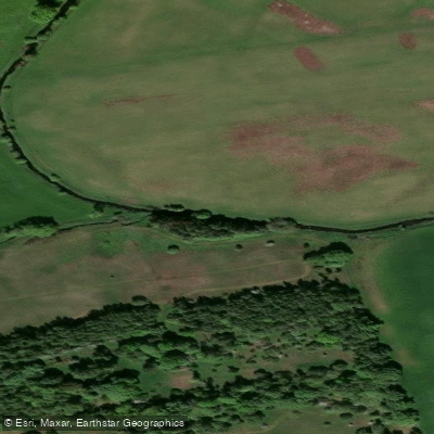
River Avon
Explore Scotland waters
Top paddling waters
No waters available right now.
Popular Cities
Loading popular cities...
Explore near Loch Goil

Smarter Paddling Starts in the App.
Paddleways gives you everything you need to plan smarter, paddle better, and own every trip from first launch to takeout.