Loch Long
- Saltwater
- Sound
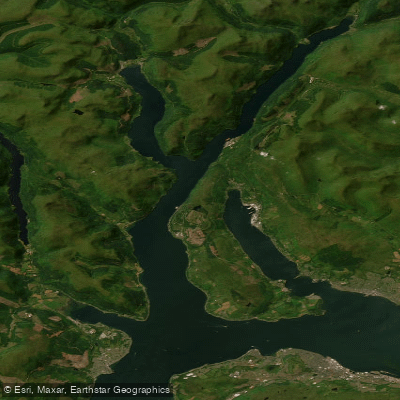
Loch Long
- Saltwater
- Sound
- Sq. miles
- 13
- Boat Ramps
- 0
- Access Points
- 0
- Campsites
- 0
Loch Long is a major sea loch in Argyll and Bute, extending approximately 30 kilometers from the Firth of Clyde northeast to the foot of the Arrochar Alps. It is a tidal saltwater feature, approximately 2 to 3 kilometers wide, and forms part of the eastern shore section of the long-distance Argyll Sea Kayak Trail. The loch offers a dramatic paddling environment with the mountainous backdrop of the Southern Highlands, specifically within Loch Lomond and The Trossachs National Park. Key launch and take-out points include the village of Ardentinny on the western shore, which features a slipway on the foreshore providing direct access to the tidal waters. The area around Arrochar at the head of the loch also provides parking and access. As a sea loch, paddling is subject to tidal currents and wind exposure, particularly given its length and orientation which can create significant fetch. The loch is also a navigable channel for boat traffic, including yachts, which must be considered when planning crossings or paddling along the main axis. The Argyll Sea Kayak Trail route passes along the eastern shore, indicating this is a viable multi-day paddling route requiring intermediate skills, tidal planning, and self-sufficiency, with wild camping likely available along the shores. The scenery is stunning, with the loch acting as a recurrent scenic backdrop for the nearby Three Lochs Way walking route. The best season for paddling is generally from May to September, with June offering the longest days. As a Scottish sea loch, water temperatures will be cold year-round, necessitating appropriate immersion gear.
Water access, boat ramps & amenities
Learn how to get on Loch Long. Uncover great paddling access points, boat ramps, and all the facilities you need for an unforgettable day on the water. Some locations shown may border or include private property. Always check property boundaries and applicable regulations before visiting. PaddleWays's Public & Private Land layer can help you plan your access with confidence.
Paddle smarter with real-time insights
Whether you're en route and conditions shift or you're looking for the best spot based on current flows, we enable you to make informed decisions on the fly.







Scotland licenses and regulations

Find Places to Paddle

Over 400,000 Places to Paddle
Every user gets free access to launch points, boat ramps, and public property parcels.


Tides, wind & water conditions (10 day forecast)
On open water, wind and tide matter as much as the weather. See the best times to paddle Loch Long and check the marine forecast before you launch.
Loading tide predictions…
Paddling near Loch Long
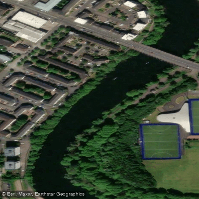
River Clyde
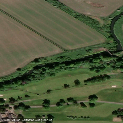
River Kelvin
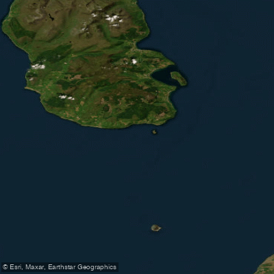
Firth of Clyde
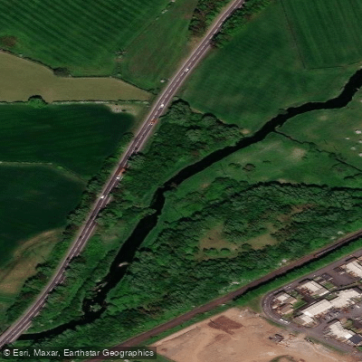
Black Cart Water
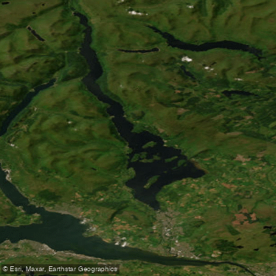
Loch Lomond
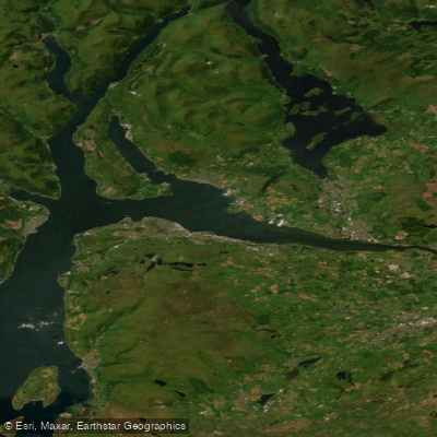
Clyde Estuary - Outer
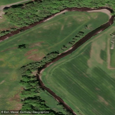
Endrick Water
River Forth
Firth of Clyde Inner - Cumbraes
River Avon
Explore Scotland waters
Top paddling waters
No waters available right now.
Popular Cities
Loading popular cities...
Explore near Loch Long

Smarter Paddling Starts in the App.
Paddleways gives you everything you need to plan smarter, paddle better, and own every trip from first launch to takeout.