River Teith
River Teith
- Boat Ramps
- 0
- Access Points
- 3
- Campsites
- 2
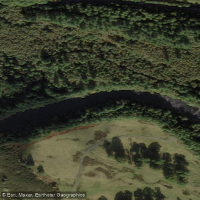
The River Teith runs 59 kilometres (36 miles) through central Scotland, flowing east from the Trossachs to join the River Forth near Stirling. It drains the hills around Callander and the broader Trossachs area, travelling along the valley floor before reaching the lowlands. No paddling licence is required to paddle the Teith, as Scotland's Land Reform (Scotland) Act 2003 provides statutory access rights to most of the country's waterways when exercised responsibly.
The river is commonly paddled in two sections of roughly two to three hours each, or combined into a single longer day on the water. The Monklands Canoe Club lists the Teith as a beginner-friendly river at Grade 1/2 difficulty, making it accessible to paddlers with limited whitewater experience while still offering enough moving water to be engaging. The river does feature rapids along its course, and at least one notable feature — referred to as "Big Rock" — presents a significant challenge at higher flows. This large mid-river rock requires paddlers to commit to a line on the right-hand side and then work into the eddy behind it, a manoeuvre that demands attention as the current pulls toward the obstruction. Capsizing in the rapids is a real possibility, and paddlers are advised to secure food and gear in dry bags.
The valley setting provides good opportunities for wildlife observation as the river moves through open terrain. A picturesque arched bridge located southwest of Doune is a notable landmark along the route. The Teith is also well regarded as a fishing river, so paddlers may encounter anglers, particularly in sections with calmer water, and should be mindful of giving them appropriate space.
The river connects to a broader network of lochs and waterways in the Trossachs, including Loch Achray and Loch Venachar, which are referenced in guidebooks as part of extended paddling itineraries in the region. For those planning a multi-day trip in central Scotland, the Teith fits naturally into routes that also take in the River Forth and surrounding highland lochs.
Water access, boat ramps & amenities
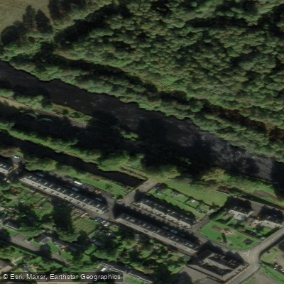
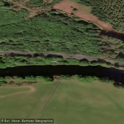
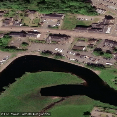
Learn how to get on River Teith. Uncover great paddling access points, boat ramps, and all the facilities you need for an unforgettable day on the water. Some locations shown may border or include private property. Always check property boundaries and applicable regulations before visiting. PaddleWays's Public & Private Land layer can help you plan your access with confidence.
Paddle smarter with real-time insights
Whether you're en route and conditions shift or you're looking for the best spot based on current flows, we enable you to make informed decisions on the fly.







Scotland licenses and regulations

Find Places to Paddle

Over 400,000 Places to Paddle
Every user gets free access to launch points, boat ramps, and public property parcels.


Water and weather conditions (10 day forecast)
See the best times to paddle River Teith and check the forecast before you go.
Bridge Of Teith
Paddling near River Teith
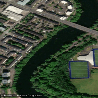
River Clyde
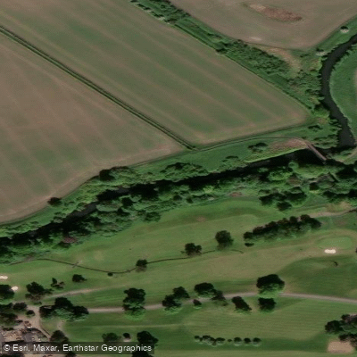
River Kelvin
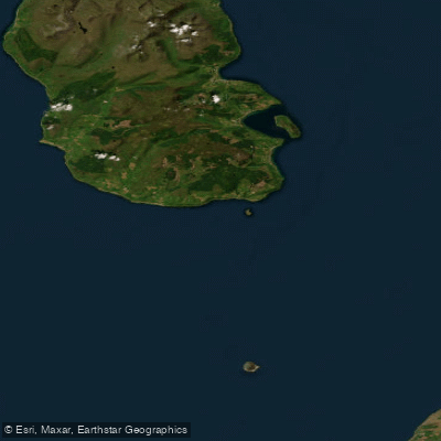
Firth of Clyde
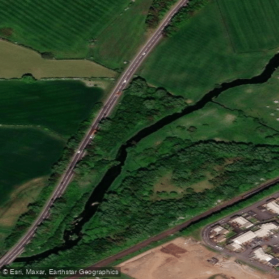
Black Cart Water
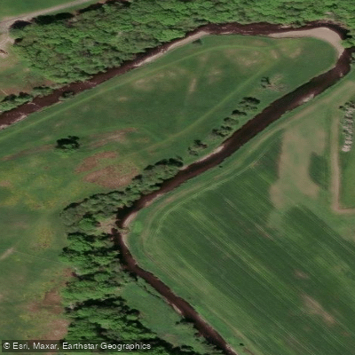
Endrick Water
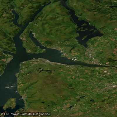
Clyde Estuary - Outer
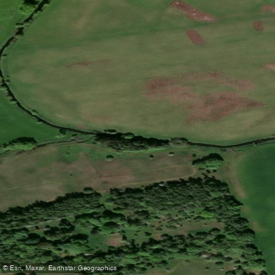
River Avon
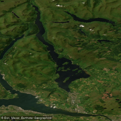
Loch Lomond
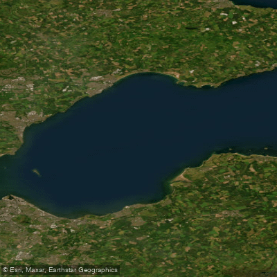
Firth of Forth
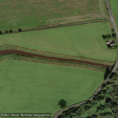
River Forth
Explore Scotland waters
Top paddling waters
No waters available right now.
Popular Cities
Loading popular cities...
Explore near River Teith

Smarter Paddling Starts in the App.
Paddleways gives you everything you need to plan smarter, paddle better, and own every trip from first launch to takeout.