River Tweed
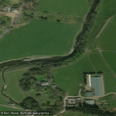
River Tweed
- Boat Ramps
- 0
- Access Points
- 11
- Campsites
- 1
The River Tweed runs 97 miles (156 km) eastward from its source at Tweed's Well in Tweedsmuir, Scottish Borders, to the North Sea at Berwick-upon-Tweed in Northumberland, England. For much of its course it threads the border between Scotland and England, passing through towns including Peebles, Innerleithen, Walkerburn, Galashiels, Melrose, Kelso, and Coldstream before reaching the tidal estuary near Berwick. The river is widely regarded as one of Britain's premier touring rivers, offering a mix of grade 1 flat water and grade 2 rapids through the Southern Uplands and moorland of the Scottish Borders.
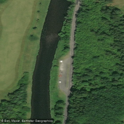
In spring 2024, the Tweed Valley Canoe Trail was officially launched, covering a 30-mile stretch from Stobo to Tweedbank near Galashiels. The trail is divided into six sections ranging from two to eight miles, with the route designed to be paddled over two to three days, though strong paddlers may complete it in one. Almost the entire trail is grade 1, with the exception of Fairnilee Rapids (Section 6) near Yair Bridge, which is grade 2. The car park at Yair Bridge is free and has public toilets. Common access points used by paddlers include Peebles, Walkerburn, Innerleithen, Kelso, Coldstream, and Berwick-upon-Tweed. The river becomes tidal in its lower reaches approaching Berwick, where paddlers should account for tidal conditions when planning take-out timing.
A notable hazard on the upper sections is Walkerburn Cauld. The lower river near Berwick features slippery, seaweed-covered surfaces at some launch and landing points, requiring care. The river passes numerous historical landmarks, including ruined castles, historic bridges, viaducts, and Sir Walter Scott's Abbotsford house near Galashiels.
For multi-day trips on the lower river between Kelso and Berwick, wild camping on the riverbanks is a common practice. Accommodation options near the upper trail include Glentress Forest Lodges near Peebles. Guided trips, equipment rental, and transfers are available from several operators in the region. The river is also one of Britain's most celebrated salmon fisheries, so paddlers should be aware of the presence of anglers, particularly during fishing season. The river flows through dramatic countryside, carving through moorland and the Southern Uplands, with autumn foliage adding to the visual character of the valley.
Water access, boat ramps & amenities
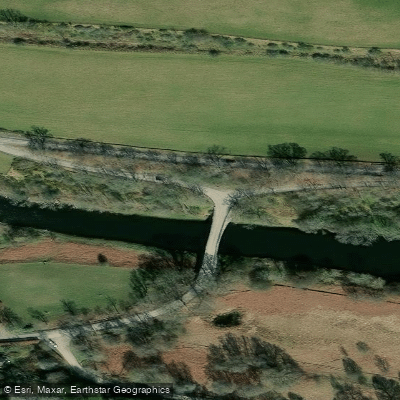
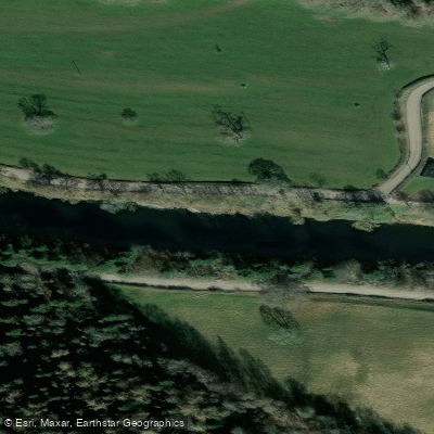
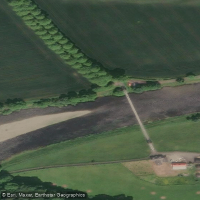
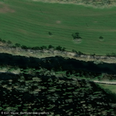
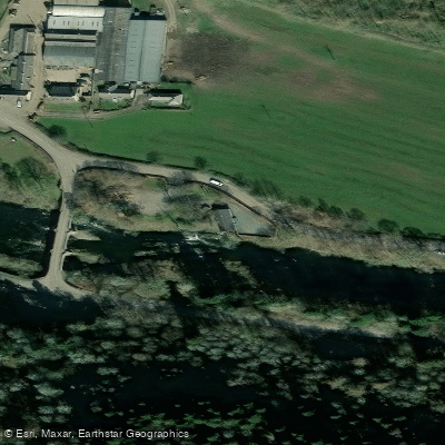
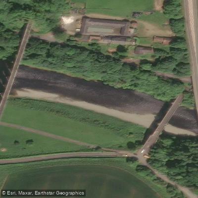
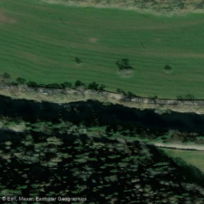
Learn how to get on River Tweed. Uncover great paddling access points, boat ramps, and all the facilities you need for an unforgettable day on the water. Some locations shown may border or include private property. Always check property boundaries and applicable regulations before visiting. PaddleWays's Public & Private Land layer can help you plan your access with confidence.
Paddle smarter with real-time insights
Whether you're en route and conditions shift or you're looking for the best spot based on current flows, we enable you to make informed decisions on the fly.







Scotland licenses and regulations

Find Places to Paddle

Over 400,000 Places to Paddle
Every user gets free access to launch points, boat ramps, and public property parcels.


Water and weather conditions (10 day forecast)
See the best times to paddle River Tweed and check the forecast before you go.
Kingledores
All Flow Stations
Paddling near River Tweed
River Avon
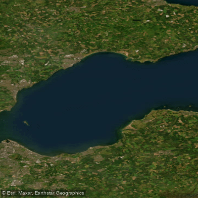
Firth of Forth
River Eden
River Forth
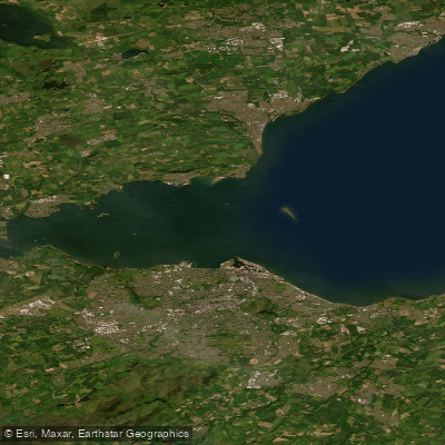
Kinghorn to Leith Docks
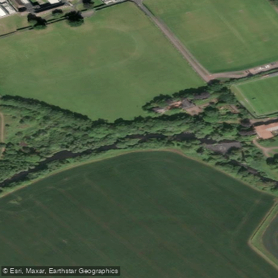
River Tyne
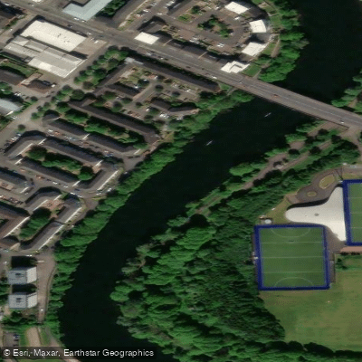
River Clyde
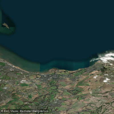
Leith Docks to Port Seton
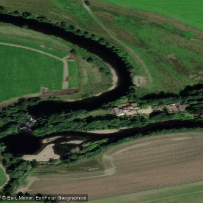
River Earn
Explore Scotland waters
Top paddling waters
No waters available right now.
Popular Cities
Loading popular cities...
Explore near River Tweed
Access points
Nearby waters
More in Scotland

Smarter Paddling Starts in the App.
Paddleways gives you everything you need to plan smarter, paddle better, and own every trip from first launch to takeout.