Afon Conwy
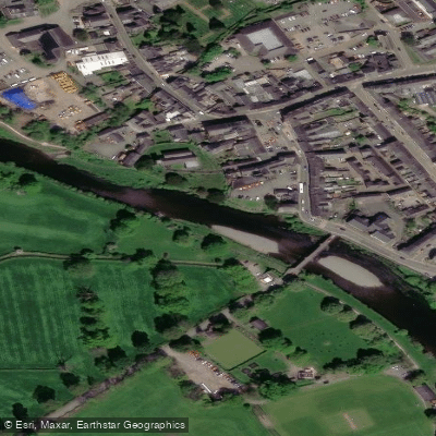
Afon Conwy
- Boat Ramps
- 2
- Access Points
- 2
- Campsites
- 3
The Afon Conwy (River Conwy) is a 34-mile (55 km) river in north Wales, rising from the Migneint moor where small streams feed into Llyn Conwy in Gwynedd, and draining through Conwy County Borough before discharging into the Irish Sea via Conwy Bay. It drains a catchment of approximately 262 square miles (678 km²) with an average discharge of 18.59 m³/s at Cwm Llanerch.
The river offers whitewater sections ranging from beginner to expert level. One notable stretch runs from the A5 steps down to Conwy Falls, covering approximately 1.5 kilometers and graded at 3 (with a 5- maximum). This section passes through a gorge of gnarled woodland that has a distinctive fairytale character. In high water, this stretch becomes very continuous and the grade increases to 3+. A key landmark near the take-out is a wooden staircase down to river level, described as one of the more civilised canoe access points in Wales.
Conwy Falls represents the most significant hazard on the river. The falls are located just beyond the horizon from the last road access point upstream of the B4406 bridge, and the warning signs that the river is about to become nearly inescapable are very limited from that vantage point. The gorge leading to the falls has been the site of numerous mountain rescue call-outs. Paddlers are strongly advised to memorise the take-out point and paddle with control when approaching it. The recommended take-out for the Ysbyty Ifan to Rhydlanfair Bridge section is on river left just before Rhydlanfair Bridge, as the section directly below leads without much warning to Conwy Falls.
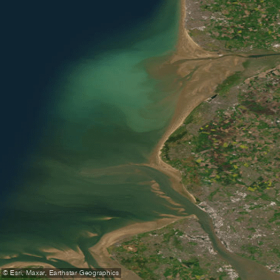
The river valley downstream of Betws-y-Coed is relatively wide and fertile, supporting farmland. The tidal reach of the lower river extends approximately 10 miles (16 km) upstream from Conwy Bay, with the upstream boundary of the SSSI-designated Aber Afon Conwy south of Tal y Cafn. This lower section encompasses Conwy Bay and features natural rock shoreline, boulder clay cliff, sand dune, salt marsh, and woodland, and holds special scientific interest for its marine and terrestrial biology.
Water access, boat ramps & amenities
Learn how to get on Afon Conwy. Uncover great paddling access points, boat ramps, and all the facilities you need for an unforgettable day on the water. Some locations shown may border or include private property. Always check property boundaries and applicable regulations before visiting. PaddleWays's Public & Private Land layer can help you plan your access with confidence.
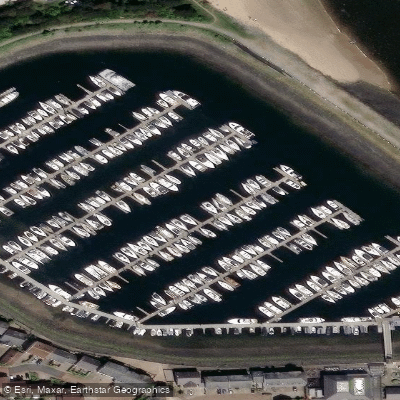
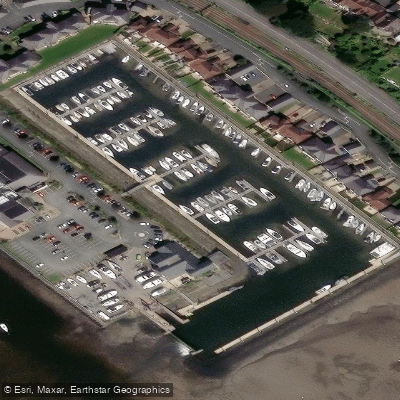
Paddle smarter with real-time insights
Whether you're en route and conditions shift or you're looking for the best spot based on current flows, we enable you to make informed decisions on the fly.








Find Places to Paddle

Over 400,000 Places to Paddle
Every user gets free access to launch points, boat ramps, and public property parcels.


Water and weather conditions (10 day forecast)
See the best times to paddle Afon Conwy and check the forecast before you go.
Conwy At Cwmlanerch
Paddling near Afon Conwy
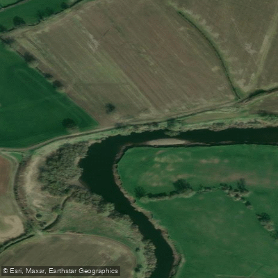

Explore Wales waters
Top paddling waters
No waters available right now.
Popular Cities
Loading popular cities...
Explore near Afon Conwy

Smarter Paddling Starts in the App.
Paddleways gives you everything you need to plan smarter, paddle better, and own every trip from first launch to takeout.