MERSEY
- Saltwater
- Estuary

MERSEY
- Saltwater
- Estuary
- Sq. miles
- 32
- Boat Ramps
- 4
- Access Points
- 1
- Campsites
- 0
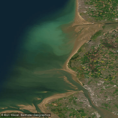
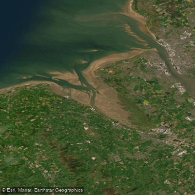
The Mersey Estuary, flowing through Cheshire West and Chester, is a large, tidal saltwater feature offering a significant and challenging paddling environment. It is a wide, exposed river after Warrington, becoming a busy passage for commercial vessels. Paddlers must carefully plan around the substantial tidal range, which can exceed 10 meters on spring tides at Liverpool. The flood tide is fast, carrying paddlers rapidly upstream, while the ebb flows more slowly; a common strategy is to paddle upstream with the first of the flood and then return on the ebb. Key access points include a sandy beach below the abutment of the old Runcorn-Widnes Transporter Bridge in Widnes, which serves as a put-in, with Warrington being a frequent take-out location for one-way trips. The channel can be complex to navigate, with hazards like submerged or partially exposed wrecks, shifting sandbanks, and shallows, particularly around features like Hempstones Point. Wind speed and direction are critical considerations on the exposed stretches after Widnes. The area is historically significant, with sights including the frames of old wrecks along the shore, the modern Mersey Gateway Bridge, and the Royal Albert Docks near Liverpool. Paddlers should be aware that the Manchester Ship Canal, which connects to the Mersey, is generally not permitted for small craft due to heavy commercial traffic. A waterways licence is required for paddling, though it is noted that a standard British Canoeing membership may not cover the Manchester Ship Canal specifically.
Water access, boat ramps & amenities
Learn how to get on MERSEY. Uncover great paddling access points, boat ramps, and all the facilities you need for an unforgettable day on the water. Some locations shown may border or include private property. Always check property boundaries and applicable regulations before visiting. PaddleWays's Public & Private Land layer can help you plan your access with confidence.
Paddle smarter with real-time insights
Whether you're en route and conditions shift or you're looking for the best spot based on current flows, we enable you to make informed decisions on the fly.








Find Places to Paddle

Over 400,000 Places to Paddle
Every user gets free access to launch points, boat ramps, and public property parcels.


Tides, wind & water conditions (10 day forecast)
On open water, wind and tide matter as much as the weather. See the best times to paddle MERSEY and check the marine forecast before you launch.
Loading tide predictions…
Paddling near MERSEY
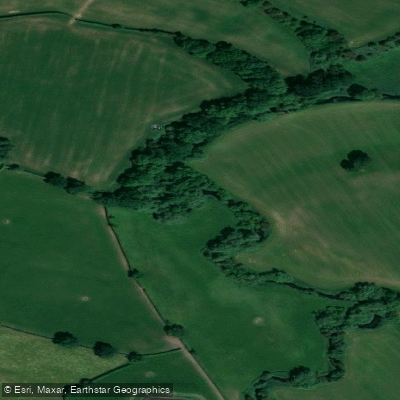
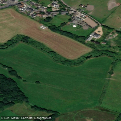
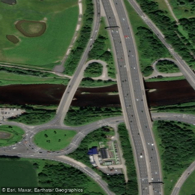
Explore England waters
Top paddling waters
No waters available right now.
Popular Cities
Loading popular cities...
Explore near MERSEY

Smarter Paddling Starts in the App.
Paddleways gives you everything you need to plan smarter, paddle better, and own every trip from first launch to takeout.