River Mersey
River Mersey
- Boat Ramps
- 0
- Access Points
- 0
- Campsites
- 0
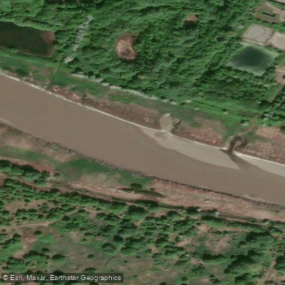
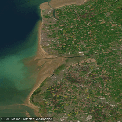
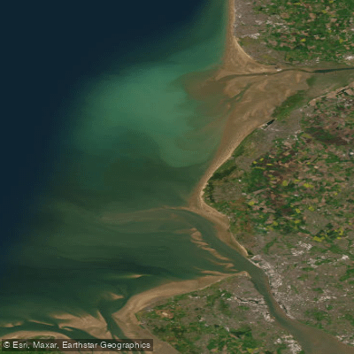
The River Mersey is an iconic waterway in North West England, approximately 70 miles long, rising in West Yorkshire at the confluence of the Goyt and Tame rivers near Stockport and flowing westward to the Irish Sea at Liverpool. The river lies entirely below 150 feet in elevation, draining large areas of the Lancashire and Cheshire plains. It becomes tidal at Warrington and opens into a wide estuary exceeding 30 square miles near Runcorn.
The river offers distinctly different paddling experiences depending on the section chosen. The upper stretch between Stockport and Carrington is suitable for canoeing, with one recommended route running 3.6 miles from Heaton Mersey to Northenden. This section appears relatively rural, with development set back by the floodplain, and features one weir and several small submerged rubble weirs. The wooded suburban stretch above Howley Weir to Woolston is also used for recreational rowing.
Below Warrington, the river becomes large and wide, with commercial vessel traffic a significant consideration. The lower estuary, from the mouth at New Brighton/Crosby to Eastham, carries the fastest flows — up to 6 knots — along with container ships, oil carriers, ferries, tugs, and pilot boats. Paddlers on the lower Mersey are required to contact Mersey VTS on VHF Channel 12 before setting out, informing harbour control of their plans and confirming they will stay clear of commercial traffic. Landing stages and constructions along this stretch pose a pinning hazard, particularly in strong currents.
The middle section between Eastham and Fiddler's Ferry is more remote, with sandbanks that create overfalls and dry out around mid-tide. The navigable channels shift in this area, and no reliable chart exists. Past Hale Point, paddlers are advised to stay in the middle of the river, then move left approaching Runcorn Bridge, where a back eddy can form on the flood tide. Near the Gateway Bridge, sandbanks in the middle of the river make it advisable to stay close to either bank.
Notable sights along the route include the National Trust-owned Speke Hall, a Tudor building with formal gardens on the north bank between Widnes and Liverpool, John Lennon Airport, and the Royal Albert Dock near Liverpool city centre. Wind speed and direction should be carefully checked before paddling the more exposed sections of the estuary.
Water access, boat ramps & amenities
Learn how to get on River Mersey. Uncover great paddling access points, boat ramps, and all the facilities you need for an unforgettable day on the water. Some locations shown may border or include private property. Always check property boundaries and applicable regulations before visiting. PaddleWays's Public & Private Land layer can help you plan your access with confidence.
Paddle smarter with real-time insights
Whether you're en route and conditions shift or you're looking for the best spot based on current flows, we enable you to make informed decisions on the fly.








Find Places to Paddle

Over 400,000 Places to Paddle
Every user gets free access to launch points, boat ramps, and public property parcels.


Water and weather conditions (10 day forecast)
See the best times to paddle River Mersey and check the forecast before you go.
Sale Water Park
All Flow Stations
Paddling near River Mersey

Explore England waters
Top paddling waters
No waters available right now.
Popular Cities
Loading popular cities...
Explore near River Mersey
Nearby waters
More in England

Smarter Paddling Starts in the App.
Paddleways gives you everything you need to plan smarter, paddle better, and own every trip from first launch to takeout.