River Weaver
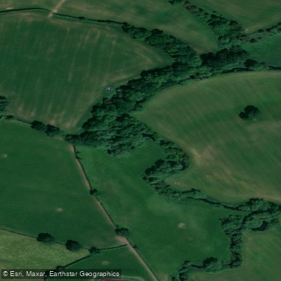
River Weaver
- Boat Ramps
- 0
- Access Points
- 3
- Campsites
- 2
The River Weaver is a navigable waterway in the north west of England, running approximately 20 miles through Cheshire from Winsford in the south to Weston Point near Runcorn in the north, where it meets the Manchester Ship Canal. The navigation has 5 locks along its length and has been managed by the Canal & River Trust. A licence is required to paddle the river; Paddle UK membership provides access to over 4,500km of waterways in England and Wales and covers the Weaver Navigation, making it a cost-effective option for regular paddlers.
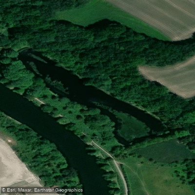
The river has been straightened in places to ease navigation for larger vessels, which means the original river channel now exists as a quieter backwater where wildlife has flourished. Mining subsidence along the route has created lakes with elevated salt content, supporting unusual wildlife communities. The tree-lined banks provide varied scenery through the seasons. Sea-faring birds have been noted along parts of the route, and paddlers have reported sightings of swans, ducks, and terrapin.
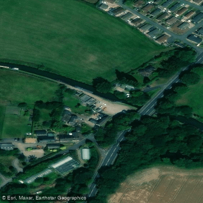
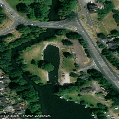
Several launch points are available along the river. At Anderton, paddlers carry their craft down a track from the car park to the river. From there, it is possible to paddle upstream to explore Witton Brook or continue to the River Dane in Northwich. The Leigh Arms at Acton Bridge offers a grassy slope for launching adjacent to the pub car park, with parking available on the lane. From this point, paddlers can head upstream toward Saltersford Lock, passing under a footbridge to a sluice gate, or turn onto the old river channel toward Owley Wood and Weaverham. One documented route runs 7.3km from Newbridge swing bridge downstream to Winsford Town Park, taking approximately one hour on the water.
The locks on the navigation — Dutton, Saltersford, Hunts, and Vale Royal — are built for large commercial vessels, and paddlers must portage around them. Floating piers are present at some locks to assist with this. Dangerous currents can develop after periods of heavy rain, and paddlers should monitor water levels accordingly. Weekday passage through Vale Royal and Hunts Locks requires advance booking via the Canal & River Trust.
The Anderton Boat Lift, a Victorian engineering structure near Northwich that connects the Weaver to the Trent and Mersey Canal 15 metres above, is a notable landmark along the route. Riverside picnic facilities are available at Anderton and near the Leigh Arms mooring.
Water access, boat ramps & amenities
Learn how to get on River Weaver. Uncover great paddling access points, boat ramps, and all the facilities you need for an unforgettable day on the water. Some locations shown may border or include private property. Always check property boundaries and applicable regulations before visiting. PaddleWays's Public & Private Land layer can help you plan your access with confidence.
Paddle smarter with real-time insights
Whether you're en route and conditions shift or you're looking for the best spot based on current flows, we enable you to make informed decisions on the fly.








Find Places to Paddle

Over 400,000 Places to Paddle
Every user gets free access to launch points, boat ramps, and public property parcels.


Water and weather conditions (10 day forecast)
See the best times to paddle River Weaver and check the forecast before you go.
Hayhurst Bridge
All Flow Stations
Paddling near River Weaver

Explore England waters
Top paddling waters
No waters available right now.
Popular Cities
Loading popular cities...
Explore near River Weaver

Smarter Paddling Starts in the App.
Paddleways gives you everything you need to plan smarter, paddle better, and own every trip from first launch to takeout.