Afon Teifi
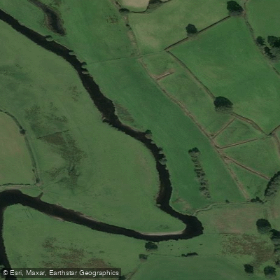
Afon Teifi
- Boat Ramps
- 0
- Access Points
- 0
- Campsites
- 1
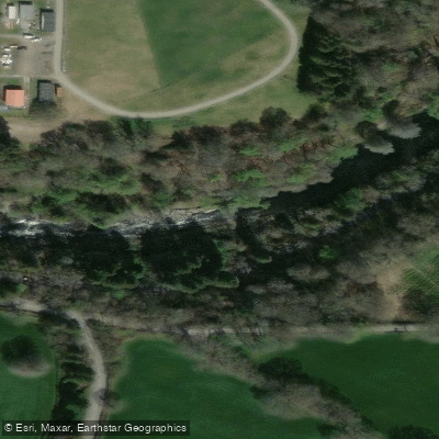
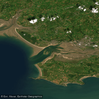
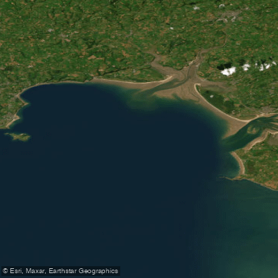
The Afon Teifi is a Welsh river flowing approximately 75 miles (121 km) through the counties of Ceredigion and Pembrokeshire, from its source at the Teifi Pools in central Wales to its mouth at Cardigan Bay on the west coast. It is one of the longest rivers found entirely in Wales. The upper reaches pass through Tregaron Bog before the river heads south-west, while the lower section features spectacular steep-sided gorges, most notably the Cilgerran Gorge near Cardigan town. The river becomes tidal below Llechryd.
The river carries a grade 1/2 classification for most of its length, with shorter sections reaching grade 3–5. This makes it suitable for a range of paddlers, though the more technical sections demand appropriate experience and preparation. No licence is required to paddle the Teifi.
A well-documented route runs from Llechryd Bridge (SA43 2QA) to Patch Beach (SA43 1PP), covering 7 miles one-way and taking approximately 2 to 3.5 hours. This stretch passes through a gorge, historic castles, woodland, and the tidal estuary, and can be timed to take advantage of tidal assistance. Another documented section runs from Llandysul to Cenarth Falls. In the tidal and estuary section, a 5 mph speed limit is enforced through the moorings at St Dogmaels, Pawl Sarma, and Netpool up to Cardigan old bridge. Paddlers should note that the Patch pontoon has been closed until further notice and must not be used. The pontoon at St Dogmaels remains the primary access point in that area, though it is reserved for embarking and disembarking only.
The river is designated a Special Area of Conservation and supports a diverse range of wildlife including otters, Atlantic salmon, sea trout, brown trout, river lamprey, and bullhead. The river's semi-natural channel, largely unaffected by poor water quality or artificial barriers, is considered high quality, though acidification in the upper reaches has been noted as a concern. In-stream vegetation includes water-crowfoot, water-starworts, and aquatic mosses. The lower river also hosts a small traditional coracle fishery targeting salmon and sea trout. Sandbanks in the tidal section are subject to movement, and paddlers navigating the estuary are advised to check the deep-water channel at low water before setting out.
Water access, boat ramps & amenities
Learn how to get on Afon Teifi. Uncover great paddling access points, boat ramps, and all the facilities you need for an unforgettable day on the water. Some locations shown may border or include private property. Always check property boundaries and applicable regulations before visiting. PaddleWays's Public & Private Land layer can help you plan your access with confidence.
Paddle smarter with real-time insights
Whether you're en route and conditions shift or you're looking for the best spot based on current flows, we enable you to make informed decisions on the fly.








Find Places to Paddle

Over 400,000 Places to Paddle
Every user gets free access to launch points, boat ramps, and public property parcels.


Water and weather conditions (10 day forecast)
See the best times to paddle Afon Teifi and check the forecast before you go.
Teifi At Llanfair
All Flow Stations
Paddling near Afon Teifi

Explore Wales waters
Top paddling waters
No waters available right now.
Popular Cities
Loading popular cities...
Explore near Afon Teifi
Access points
Nearby waters
More in Wales

Smarter Paddling Starts in the App.
Paddleways gives you everything you need to plan smarter, paddle better, and own every trip from first launch to takeout.