Eastern Cleddau
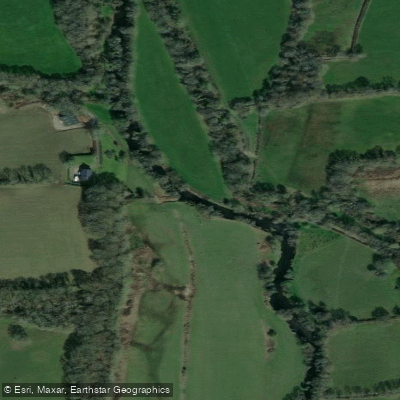
Eastern Cleddau
- Boat Ramps
- 0
- Access Points
- 0
- Campsites
- 0
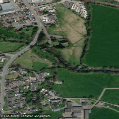
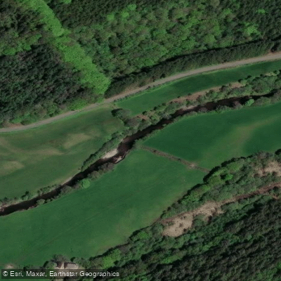
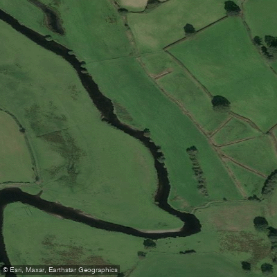
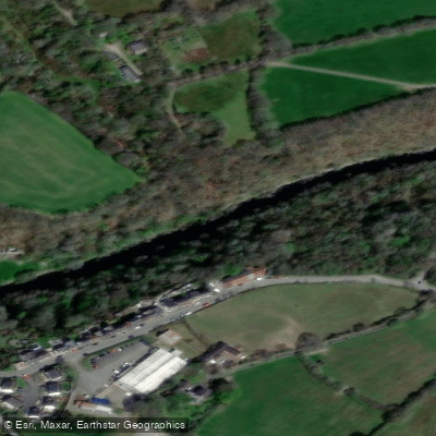
The Eastern Cleddau is a tidal river in Pembrokeshire, Wales, forming one of the four main branches of the broader Cleddau river system. It originates in the foothills of the Preseli Hills and flows southward through Canaston Woods, past the former mining community of Landshipping, before meeting the Western Cleddau at Picton Point to form the Daugleddau — a Welsh name meaning "two Cleddaus." The paddleable section of the Eastern Cleddau runs between Picton Point and Canaston Bridge, making it a manageable stretch within a much larger network of over 40 miles of tidal waterways.
The river passes through areas of considerable natural interest. The banks include sections within the Pembrokeshire Coast National Park and designated Special Areas of Conservation. Wildlife along the Eastern Cleddau includes otters, herons, migratory birds, and swans. The river flows through Canaston Woods and offers views from nearby Minwear Wood. Blackpool Mill sits on the tidal reach of the Eastern Cleddau and is noted as a worthwhile destination along the route.
Because the Eastern Cleddau is tidal throughout its paddleable length, trip planning should account for tidal timing. The river's tidal nature means water levels and current direction will vary significantly depending on the state of the tide, which is a primary consideration for route planning and safety. Paddlers should be aware that the broader Cleddau system, particularly downstream toward Pembroke Dock and Milford Haven, carries significant commercial and industrial vessel traffic, including fast-moving tugs serving oil and gas terminals. While this heavy traffic is more characteristic of the lower Daugleddau rather than the Eastern Cleddau itself, paddlers connecting routes through Picton Point and beyond should factor in vessel traffic as a hazard.
The Eastern Cleddau has a more rural and wooded character compared to the lower reaches of the Cleddau system, which take on a semi-industrial feel near Pembroke Dock. The upper Eastern Cleddau flows through woodland and past historic sites, including proximity to Picton Castle and Gardens. The Landsker Borderlands Trail, a 60-mile walking route, traces the source of the Eastern Cleddau into the Preseli foothills, giving some indication of the broader landscape context through which the river drains.
Water access, boat ramps & amenities
Learn how to get on Eastern Cleddau. Uncover great paddling access points, boat ramps, and all the facilities you need for an unforgettable day on the water. Some locations shown may border or include private property. Always check property boundaries and applicable regulations before visiting. PaddleWays's Public & Private Land layer can help you plan your access with confidence.
Paddle smarter with real-time insights
Whether you're en route and conditions shift or you're looking for the best spot based on current flows, we enable you to make informed decisions on the fly.








Find Places to Paddle

Over 400,000 Places to Paddle
Every user gets free access to launch points, boat ramps, and public property parcels.


Water and weather conditions (10 day forecast)
See the best times to paddle Eastern Cleddau and check the forecast before you go.
Eastern Cleddau At Canaston Bridge
Paddling near Eastern Cleddau

Explore Wales waters
Top paddling waters
No waters available right now.
Popular Cities
Loading popular cities...
Explore near Eastern Cleddau

Smarter Paddling Starts in the App.
Paddleways gives you everything you need to plan smarter, paddle better, and own every trip from first launch to takeout.