Bristol Channel
- Saltwater
- Channel

Bristol Channel
- Saltwater
- Channel
- Sq. miles
- 1,971
- Boat Ramps
- 0
- Access Points
- 0
- Campsites
- 0
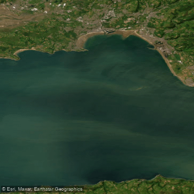
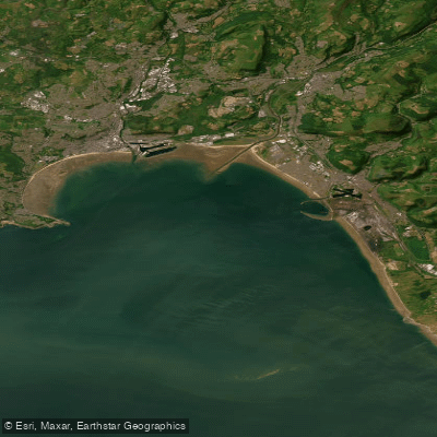
The Bristol Channel is a major marine inlet separating South West England from South Wales, with the Devon coastline forming its southern shore. It is renowned for having the second-largest tidal range on Earth, exceeding 14 meters in places, which creates extremely powerful and complex currents. Paddlers must plan meticulously around tide tables, as flows can reach speeds of 10.5 knots in constricted channels like the Shoots Channel under the Second Severn Crossing, where standing waves and tidal rapids form. The open waters of the channel are exposed to Atlantic weather, and wind against tide conditions can quickly create hazardous, steep seas. A major commercial shipping lane runs through the channel, requiring constant vigilance and careful route planning to avoid vessel traffic. Notable access points for Devon-based trips include the small cove at Lee Bay, used as a launch for open-water crossings to Lundy Island, which lies at the channel's boundary with the Celtic Sea. The estuary of the River Taw, which flows into the channel, becomes tidal at Newbridge, and paddlers must consult tide timetables for this section. The coastline features long stretches of Heritage Coast, including the dramatic cliffs of Exmoor and the Hartland Point peninsula. The channel's character is one of a dynamic and challenging marine wilderness, with vast expanses of water and extensive mudflats exposed at low tide. Paddling is best undertaken by experienced individuals, with calm, high-pressure systems providing the safest conditions for open-water excursions such as the crossing to Lundy Island. The historic seagoing paddle steamer Waverley operates seasonal cruises in the channel, representing another element of boat traffic to be aware of.
Water access, boat ramps & amenities
Learn how to get on Bristol Channel. Uncover great paddling access points, boat ramps, and all the facilities you need for an unforgettable day on the water. Some locations shown may border or include private property. Always check property boundaries and applicable regulations before visiting. PaddleWays's Public & Private Land layer can help you plan your access with confidence.
Paddle smarter with real-time insights
Whether you're en route and conditions shift or you're looking for the best spot based on current flows, we enable you to make informed decisions on the fly.








Find Places to Paddle

Over 400,000 Places to Paddle
Every user gets free access to launch points, boat ramps, and public property parcels.


Tides, wind & water conditions (10 day forecast)
On open water, wind and tide matter as much as the weather. See the best times to paddle Bristol Channel and check the marine forecast before you launch.
Loading tide predictions…
Paddling near Bristol Channel
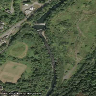
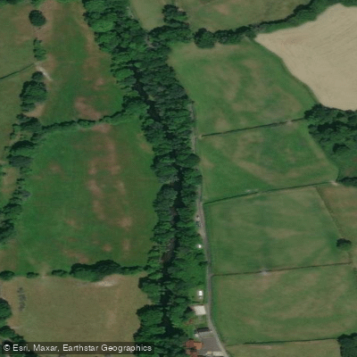
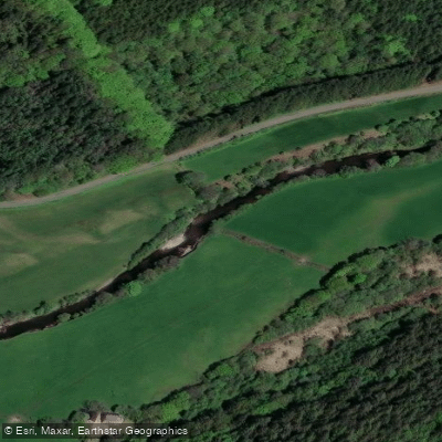
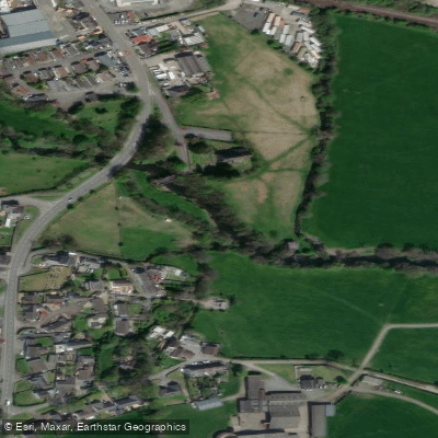
Explore England waters
Top paddling waters
No waters available right now.
Popular Cities
Loading popular cities...
Explore near Bristol Channel

Smarter Paddling Starts in the App.
Paddleways gives you everything you need to plan smarter, paddle better, and own every trip from first launch to takeout.