Carmarthen Bay
- Saltwater
- Bay
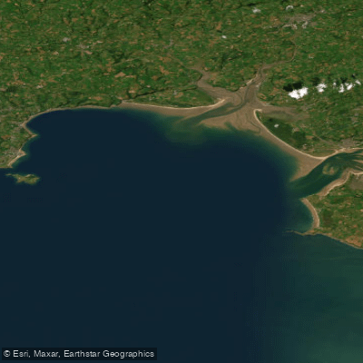
Carmarthen Bay
- Saltwater
- Bay
- Sq. miles
- 202
- Boat Ramps
- 0
- Access Points
- 1
- Campsites
- 1
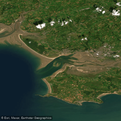
Carmarthen Bay is a broad coastal inlet on the south Wales coast, characterized by expansive golden sand beaches like Pendine Sands and the estuarine environments of several rivers. The bay's coastline offers multiple access points for paddlers. A concrete slipway is available at Burry Port Harbour, located at the mouth of the Loughor Estuary where it opens into the bay. This slipway is managed by Burry Port Marina Ltd, and its tidal gate operates for approximately two and a half hours either side of high water on spring tides. The Gwendraeth Estuary at Kidwelly provides another launch area near Carmarthen Bay Holiday Park. The bay is also accessed from Pendine Sands, a long sandy beach, where commercial sea kayaking expeditions begin to explore the local coastline, including coves like Morfa Bychan Bay, caves, and headland points. A significant feature for paddlers is the Tywi estuary, which forms a prominent part of the bay's eastern section. Here, a regular amphibious ferry service operated by Carmarthen Bay Ferries crosses between Ferryside and Llansteffan, running up to 6 hours a day and making trips approximately every 15 minutes. This vessel represents a notable boat traffic consideration for paddlers navigating this narrow part of the estuary. The ferry only operates when there is sufficient water, indicating a wide tidal range in the area. Paddlers should be aware of sandbanks near estuary mouths, such as at Burry Port, which are noted to churn the water. The bay's aesthetic combines long, open sandy beaches with the quieter, saltmarsh and mudflat environments of its estuaries. The overall paddling experience ranges from exposed coastal exploration along cliff and cave features to more sheltered estuary paddling.
Water access, boat ramps & amenities
Learn how to get on Carmarthen Bay. Uncover great paddling access points, boat ramps, and all the facilities you need for an unforgettable day on the water. Some locations shown may border or include private property. Always check property boundaries and applicable regulations before visiting. PaddleWays's Public & Private Land layer can help you plan your access with confidence.
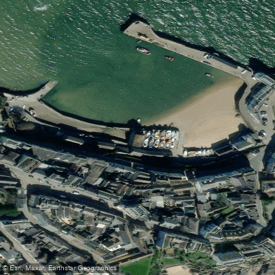
Paddle smarter with real-time insights
Whether you're en route and conditions shift or you're looking for the best spot based on current flows, we enable you to make informed decisions on the fly.








Find Places to Paddle

Over 400,000 Places to Paddle
Every user gets free access to launch points, boat ramps, and public property parcels.


Tides, wind & water conditions (10 day forecast)
On open water, wind and tide matter as much as the weather. See the best times to paddle Carmarthen Bay and check the marine forecast before you launch.
Loading tide predictions…
Paddling near Carmarthen Bay

Explore England waters
Top paddling waters
No waters available right now.
Popular Cities
Loading popular cities...
Explore near Carmarthen Bay
Access points
Nearby waters
More in England

Smarter Paddling Starts in the App.
Paddleways gives you everything you need to plan smarter, paddle better, and own every trip from first launch to takeout.