Pontsticill Reservoir
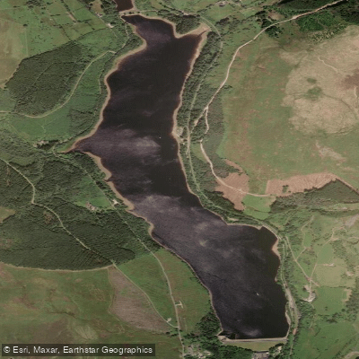
Pontsticill Reservoir
- Boat Ramps
- 0
- Access Points
- 1
- Campsites
- 0
Pontsticill Reservoir, also known as Taf Fechan Reservoir, is a large body of water situated on the Taf Fechan in south Wales, lying partly in Powys and partly within the county borough of Merthyr Tydfil. It falls within the Brecon Beacons National Park and Fforest Fawr Geopark. The reservoir covers approximately 102 hectares (250 acres), reaches a maximum depth of 30 metres (98 feet), and sits at a surface elevation of around 330 metres (1,080 feet). The 110-foot high embankment holds back roughly 15,400 megalitres of water. Originally opened in 1927, it remains an active drinking water supply for the region, owned and managed by Dŵr Cymru Welsh Water.
Access for paddlers is restricted to organised groups only, through the Brecon Beacons Reservoir Passport Scheme, administered by Bannau Brycheiniog National Park Authority in partnership with Welsh Water and the South Wales Outdoor Activity Providers Group (SWOAPG). Annual passports cost £150 per organisation, or £190 for two passports issued to a single organisation. A seven-day passport option is available for £70. Passport holders must notify the National Park Authority each time they plan to use the site. The nearest postcode to the north end of the reservoir is CF48 2UR. Additionally, Dolygaer Outdoor offers a self-launch option for kayaks, canoes, and paddleboards at the reservoir.
Paddlers must be aware that Merthyr Tydfil Sailing Club holds a lease for sailing at Pontsticill, and racing activity takes place on the water. The passport scheme explicitly requires paddlers to keep well clear of racing craft to avoid conflict and to protect the future of the scheme. The reservoir is supervised by Welsh Water Rangers and Bannau Brycheiniog National Park Authority staff.
The reservoir is heavily afforested along most of its banks, with woodland management carried out by Natural Resources Wales. The Taff Trail runs through the woods on the western side. The Brecon Mountain Railway, a heritage steam railway, operates along the eastern bank from Pant Station through Dolygaer to Torpantau. Pentwyn Reservoir, a smaller body of water separated from Pontsticill by a small dam, is also accessible under the same passport scheme, though it cannot be used when water levels are 2 metres or more below top water level.
Water access, boat ramps & amenities
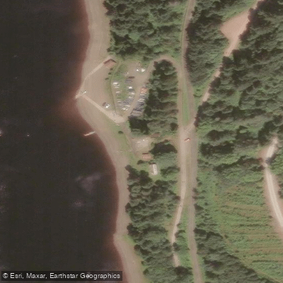
Learn how to get on Pontsticill Reservoir. Uncover great paddling access points, boat ramps, and all the facilities you need for an unforgettable day on the water. Some locations shown may border or include private property. Always check property boundaries and applicable regulations before visiting. PaddleWays's Public & Private Land layer can help you plan your access with confidence.
Paddle smarter with real-time insights
Whether you're en route and conditions shift or you're looking for the best spot based on current flows, we enable you to make informed decisions on the fly.








Find Places to Paddle

Over 400,000 Places to Paddle
Every user gets free access to launch points, boat ramps, and public property parcels.


Water and weather conditions (10 day forecast)
See the best times to paddle Pontsticill Reservoir and check the forecast before you go.
Taf Fechan At Taf Fechan Reservoir
Paddling near Pontsticill Reservoir
River Taff
Afon Tawe
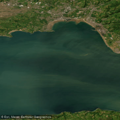
Bristol Channel Outer North
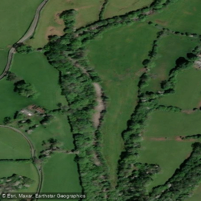
Afon Mellte
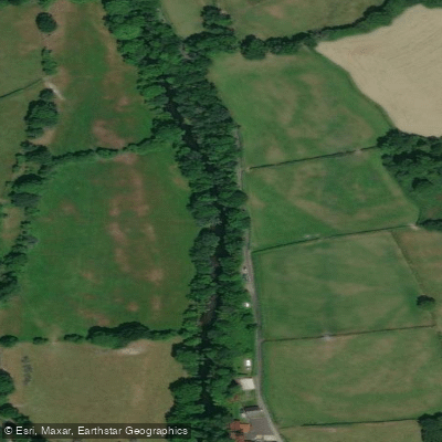
Afon Tywi

Bristol Channel
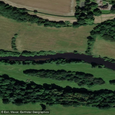
Afon Gwy
Afon Tarell
Severn Lower
River Axe
Explore Wales waters
Top paddling waters
No waters available right now.
Popular Cities
Loading popular cities...
Explore near Pontsticill Reservoir

Smarter Paddling Starts in the App.
Paddleways gives you everything you need to plan smarter, paddle better, and own every trip from first launch to takeout.