Afon Gwy
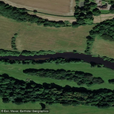
Afon Gwy
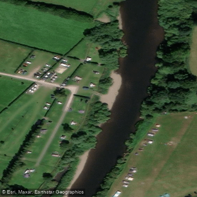
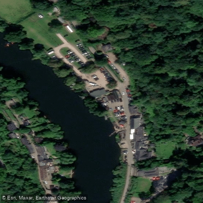
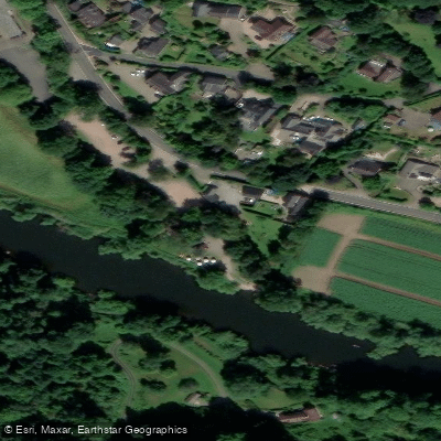
- Boat Ramps
- 7
- Access Points
- 6
- Campsites
- 14
The Afon Gwy, known in English as the River Wye, stretches approximately 250 kilometres from its source on Plynlimon in the Cambrian Mountains of Mid Wales to the Severn Estuary at Chepstow, making it the fourth-longest river in the UK. For much of its length it traces the border between England and Wales, passing through the towns of Rhayader, Builth Wells, Hay-on-Wye, Hereford, Ross-on-Wye, and Monmouth before reaching its tidal lower section. The river's basin covers 4,136 square kilometres, and the lower Wye Valley is designated a National Landscape, recognised for its limestone gorge scenery and dense native woodlands.
The river offers paddling suitable for a wide range of skill levels. There is a public right of navigation from Bigsweir Bridge upstream to Hay Town Bridge on the main river, and on the River Lugg between its confluence with the Wye and Presteigne Town Bridge. The tidal section downstream of Bigsweir Bridge falls under the jurisdiction of the Gloucester Harbour Trustees. A waterways licence is required for certain sections, and paddlers should check current requirements via the PaddlePoints resource. Importantly, the right of navigation does not confer a right of access to the riverbank; paddlers must use designated public launch sites or obtain landowner permission before launching and landing. Permission is also required to camp or picnic on the banks.
Notable hazards include the stretch immediately below Kerne Bridge, where fast water and strong currents can push craft into trees. At Lydbrook rapid, paddlers should keep to the left of an island on a sharp right-hand bend. Iron stakes in the river bed near Hay-on-Wye, where Dulas Brook joins the river, present a hazard just below the landing slipway. Clifford Common should not be used as a launch or landing point as it is a sensitive wildlife site.
The river passes Goodrich Castle, the remains of Clifford Castle, and Symonds Yat, where a popular series of rapids was purchased by the British Canoe Union in 2003 to preserve them for recreational use. Wildlife along the river includes kingfishers, otters, and salmon, and the river is designated a Site of Special Scientific Interest and Special Area of Conservation. Wild boar and deer are present in the adjacent Forest of Dean. Canoe hire, supervised trips, and campsites are available at key points along the river.
Water access, boat ramps & amenities
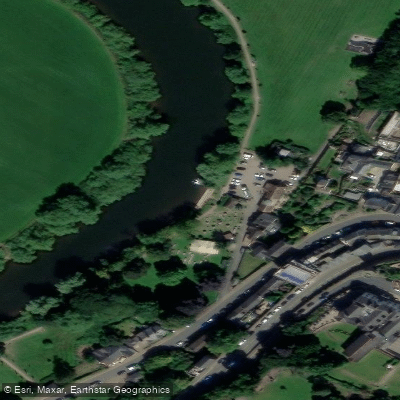
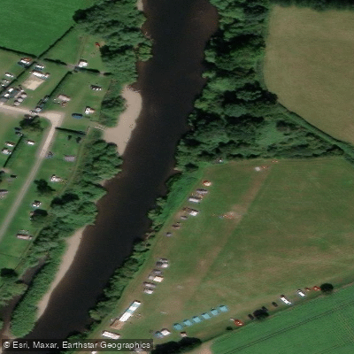
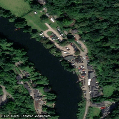
Learn how to get on Afon Gwy. Uncover great paddling access points, boat ramps, and all the facilities you need for an unforgettable day on the water. Some locations shown may border or include private property. Always check property boundaries and applicable regulations before visiting. PaddleWays's Public & Private Land layer can help you plan your access with confidence.
Paddle smarter with real-time insights
Whether you're en route and conditions shift or you're looking for the best spot based on current flows, we enable you to make informed decisions on the fly.








Find Places to Paddle

Over 400,000 Places to Paddle
Every user gets free access to launch points, boat ramps, and public property parcels.


Water and weather conditions (10 day forecast)
See the best times to paddle Afon Gwy and check the forecast before you go.
Ross On Wye
All Flow Stations
Paddling near Afon Gwy
River Taff
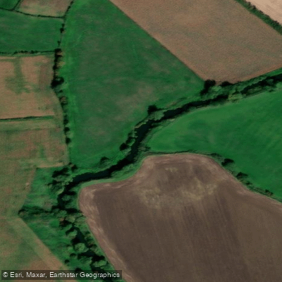
River Avon
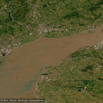
Severn Lower
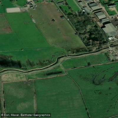
Land Yeo

Bristol Channel
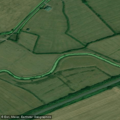
Congresbury Yeo
Afon Hafren
Bristol Channel Inner North
River Axe
Explore England waters
Top paddling waters
No waters available right now.
Popular Cities
Loading popular cities...
Explore near Afon Gwy
Access points
Nearby waters
More in England

Smarter Paddling Starts in the App.
Paddleways gives you everything you need to plan smarter, paddle better, and own every trip from first launch to takeout.