River Axe
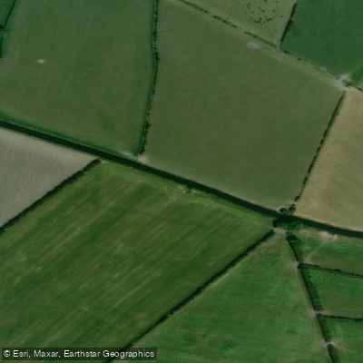
River Axe
- Boat Ramps
- 0
- Access Points
- 0
- Campsites
- 5
The River Axe in Devon is a gentle, wildlife-rich waterway that flows from the Somerset/Devon border down to the sea at Seaton Bay. The name "Axe" is derived from an ancient term meaning "abounding in fish," and the river lives up to that heritage — paddlers can expect to encounter salmon, bullheads, otters, and even leeches along the way. The river meanders through Devon meadows lined with overhanging willows and reed-edged banks before widening into a tidal estuary flanked by marshes and mudbanks as it approaches the coast.
A popular put-in is just downstream of Whitford Bridge, below the weir. From there, the river flows approximately 4 kilometres to the sea, passing the point where the Coly tributary joins the Axe and the river transitions from freshwater to tidal estuary. The route passes Axmouth on the east bank — historically a major port in the 14th century — and Seaton Wetlands on the west bank, a birdwatcher's destination comprising freshwater marshes, intertidal lagoons, and ditches. The wetlands are separated from the estuary by the embankment of a former railway branch line, now used by the Seaton Electric Tramway. Continuing downstream, paddlers pass under a road bridge, a large shingle bank, moorings, and Seaton's harbour walls and fishing boats before reaching Seaton Bay, which offers views of the Dorset coastline toward Beer Head.
The Axe Vale Canoe Club, located close to the road bridge, organises an annual River Axe Race along this same route, and the event is open to almost every type of floating craft. The club's presence near the bridge provides a useful landmark for paddlers on this stretch.
Within the harbour and estuary area, a five-knot speed limit applies throughout, extending 180 metres south beyond the harbour mouth. Power boats are restricted to launching and recovering from the Axe Yacht Club slipway only, with no public slipways at Seaton Beach, Axmouth Harbour, or along the river itself. Paddlers should be aware of tidal conditions when planning trips on the lower estuary section, as the character of the water changes significantly with the tide.
The downstream section from Whitford is listed at approximately 4 kilometres, while upstream of Whitford extends a further 31 kilometres, and the Somerset Axe adds another 25 kilometres of navigable water.
Water access, boat ramps & amenities
Learn how to get on River Axe. Uncover great paddling access points, boat ramps, and all the facilities you need for an unforgettable day on the water. Some locations shown may border or include private property. Always check property boundaries and applicable regulations before visiting. PaddleWays's Public & Private Land layer can help you plan your access with confidence.
Paddle smarter with real-time insights
Whether you're en route and conditions shift or you're looking for the best spot based on current flows, we enable you to make informed decisions on the fly.








Find Places to Paddle

Over 400,000 Places to Paddle
Every user gets free access to launch points, boat ramps, and public property parcels.


Water and weather conditions (10 day forecast)
See the best times to paddle River Axe and check the forecast before you go.
Clewer
All Flow Stations
Paddling near River Axe
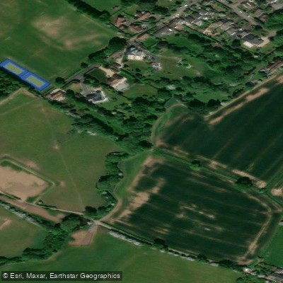
River Frome
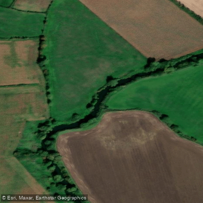
River Avon
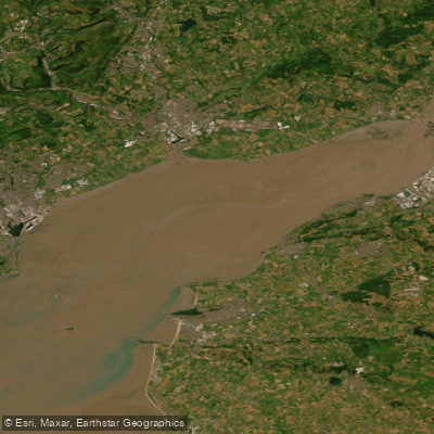
Severn Lower
Land Yeo
River Chew

Bristol Channel
Afon Gwy
Congresbury Yeo
SEVERN MIDDLE
Afon Hafren
Explore England waters
Top paddling waters
No waters available right now.
Popular Cities
Loading popular cities...
Explore near River Axe

Smarter Paddling Starts in the App.
Paddleways gives you everything you need to plan smarter, paddle better, and own every trip from first launch to takeout.