Bunny ( Lough )
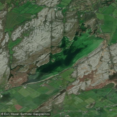
Bunny ( Lough )
- Boat Ramps
- 0
- Access Points
- 0
- Campsites
- 0
Lough Bunny (Irish: Loch Buinne, meaning "lake of the flood") is a freshwater lake in the Burren, County Clare, situated roughly halfway between the towns of Corofin and Gort, near the village of Boston. The lake measures approximately 2.4 km long and 0.6 km wide, covering around 100 hectares (254 acres) with a shoreline of just over 5 miles. It sits at an elevation of 17 metres above sea level. Despite its modest surface area, it reaches a maximum depth of 14 metres, though the average depth is only about 2.7 metres.
The lake has no permanent surface inflow or outflow, which gives it a distinctive hydrological character. Water enters through underground springs visible at one end and drains through limestone fissures at the northern end. As a result, water levels fluctuate considerably with rainfall and season — the lake can gain between 50 and 70 acres in surface area depending on conditions. This karst behaviour connects Lough Bunny to the broader network of turloughs and sinkholes characteristic of the Burren landscape. The water is oligotrophic, with high dissolved bicarbonate and low nutrient levels, making it a rare lake type within the EU.
Fish species present include perch, rudd, pike, and the critically endangered European eel. The lake floor also supports a very rare water beetle, Octhebius nilssoni, measuring only 1.5 mm in length. Two islands, Puskada Island and Gull Island, lie within the lake. The backdrop includes views of Mullaghmore Mountain, whose dramatically folded shape reflects the region's tectonic history, and the ruins of a medieval tower house stand on the northeastern shore.
Lough Bunny lies within the Burren National Park, the East Burren Complex Special Area of Conservation, and the Burren and Cliffs of Moher Geopark. These designations reflect the ecological and geological sensitivity of the area. Paddlers should be aware that the lake is within a protected conservation zone, and any activities should be conducted with corresponding care for the environment. The road (R460) runs alongside the lake, providing relatively straightforward access to the water's edge. The National Park Centre in Corofin serves as a useful starting point for visitors exploring the broader area.
Water access, boat ramps & amenities
Learn how to get on Bunny ( Lough ). Uncover great paddling access points, boat ramps, and all the facilities you need for an unforgettable day on the water. Some locations shown may border or include private property. Always check property boundaries and applicable regulations before visiting. PaddleWays's Public & Private Land layer can help you plan your access with confidence.
Paddle smarter with real-time insights
Whether you're en route and conditions shift or you're looking for the best spot based on current flows, we enable you to make informed decisions on the fly.







Co. Clare licenses and regulations
No licenses or regulations available for Co. Clare.
Find Places to Paddle

Over 400,000 Places to Paddle
Every user gets free access to launch points, boat ramps, and public property parcels.


Water and weather conditions (10 day forecast)
See the best times to paddle Bunny ( Lough ) and check the forecast before you go.
No forecast data available.
Paddling near Bunny ( Lough )
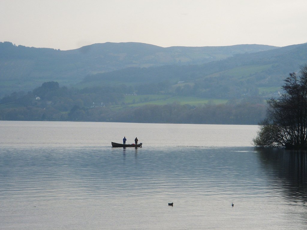
Lough Derg

Lough Corrib
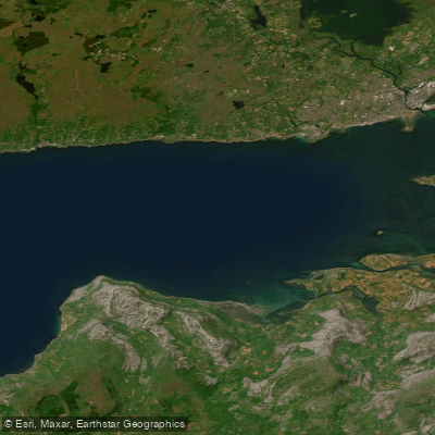
Outer Galway Bay
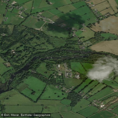
Shannon [Lower]

Suck
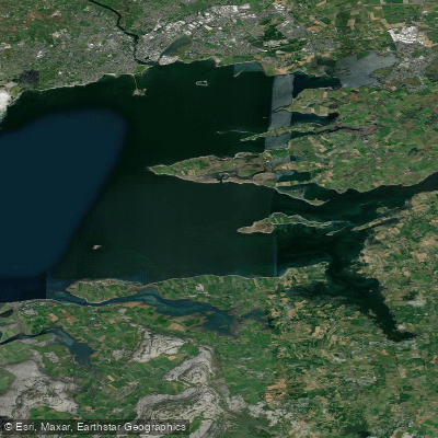
Inner Galway Bay South
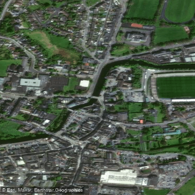
Fergus

Shannon [Upper]
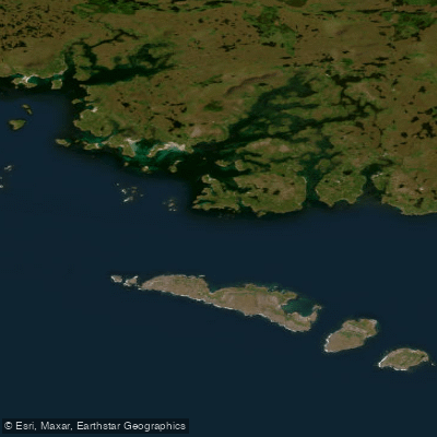
Aran Islands, Galway Bay, Connemara (HAs 29;31)
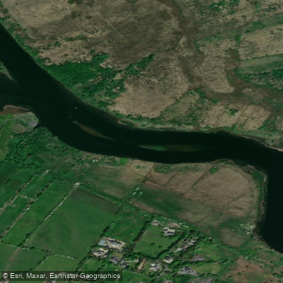
Corrib
Explore Clare waters
Top paddling waters
No waters available right now.
Popular Cities
Loading popular cities...
Explore near Bunny ( Lough )

Smarter Paddling Starts in the App.
Paddleways gives you everything you need to plan smarter, paddle better, and own every trip from first launch to takeout.