Liscannor Bay
- Saltwater
- Bay
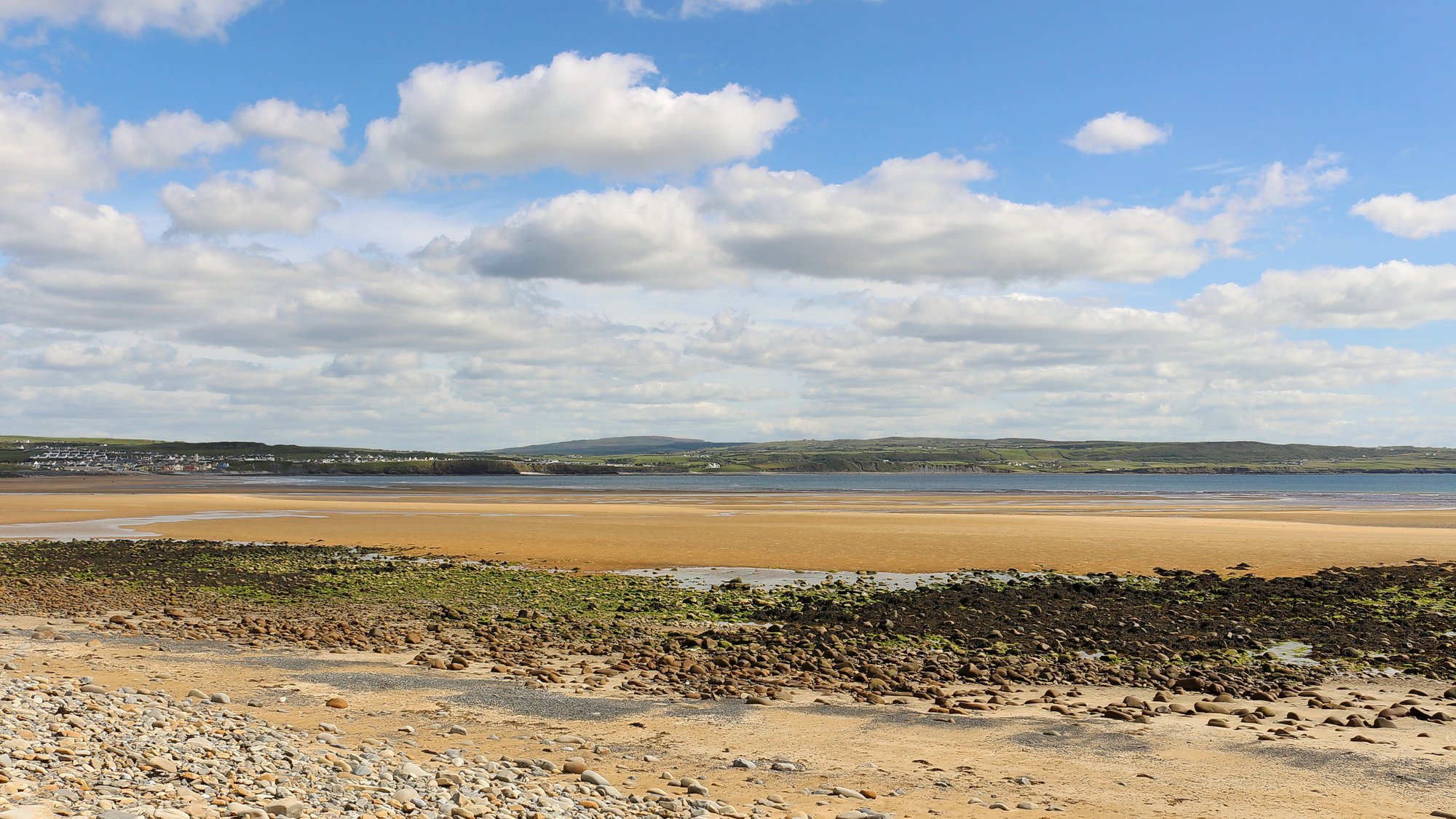
Liscannor Bay
- Saltwater
- Bay
- Sq. miles
- 12
- Boat Ramps
- 0
- Access Points
- 0
- Campsites
- 0
Liscannor Bay is a coastal bay on the west coast of County Clare, Ireland, forming part of the Wild Atlantic Way. It is a crescent-shaped body of saltwater, with Lahinch Beach, a nearly two-kilometer stretch of golden sand, situated at its eastern head. The bay is exposed to the open Atlantic, making conditions highly dependent on swell and wind. A primary launch point for paddlers is Liscannor Pier, which offers panoramic views of Lahinch and the southern Clare coastline. The bay's character is defined by its rugged, cliff-lined shore, featuring numerous sea caves with cathedral-like ceilings and narrow passages. Due to recent landslides, entering these caves is not advised, but paddling along the coast provides excellent views. The area is a sanctuary for seabirds, and sightings of seals, dolphins, and shy sea otters are possible. Paddling here is extremely weather-dependent and requires very specific conditions: little to no swell, little to no wind, and a tide close to full for safe exploration along the cliffs. Commercial tours, which are suitable for those aged 18 and over, emphasize that these conditions are rarely met, often necessitating alternative plans. The bay is a popular area for various water sports, including surfing at Lahinch, which indicates the presence of surf zones and breaking waves, particularly at the bay's head. There is significant boat traffic related to tourism, as Doolin Pier, located a few nautical miles north, is a major ferry and sightseeing departure point for the Cliffs of Moher and the Aran Islands, meaning paddlers should be aware of vessel activity in the wider area.
Water access, boat ramps & amenities
Learn how to get on Liscannor Bay. Uncover great paddling access points, boat ramps, and all the facilities you need for an unforgettable day on the water. Some locations shown may border or include private property. Always check property boundaries and applicable regulations before visiting. PaddleWays's Public & Private Land layer can help you plan your access with confidence.
Paddle smarter with real-time insights
Whether you're en route and conditions shift or you're looking for the best spot based on current flows, we enable you to make informed decisions on the fly.







Co. Clare licenses and regulations
No licenses or regulations available for Co. Clare.
Find Places to Paddle

Over 400,000 Places to Paddle
Every user gets free access to launch points, boat ramps, and public property parcels.


Tides, wind & water conditions (10 day forecast)
On open water, wind and tide matter as much as the weather. See the best times to paddle Liscannor Bay and check the marine forecast before you launch.
Loading tide predictions…
Paddling near Liscannor Bay

Lough Corrib
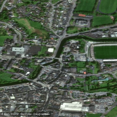
Fergus
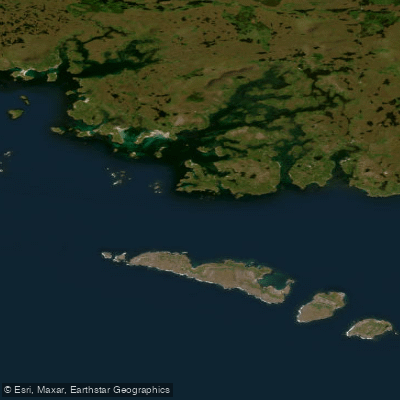
Aran Islands, Galway Bay, Connemara (HAs 29;31)
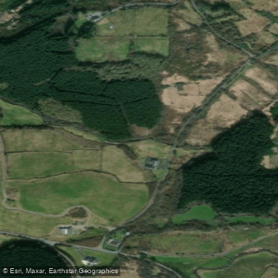
Inagh [Ennistymon]
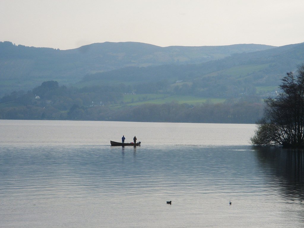
Lough Derg
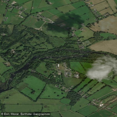
Shannon [Lower]
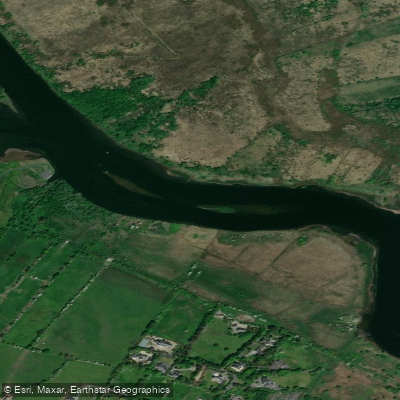
Corrib
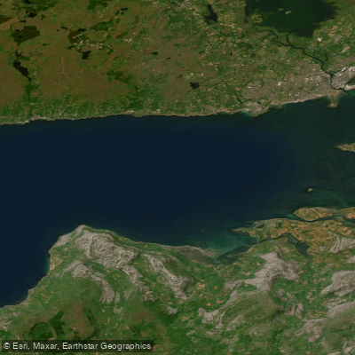
Outer Galway Bay
Cashla
Explore Clare waters
Top paddling waters
No waters available right now.
Popular Cities
Loading popular cities...
Explore near Liscannor Bay

Smarter Paddling Starts in the App.
Paddleways gives you everything you need to plan smarter, paddle better, and own every trip from first launch to takeout.