Gweebarra
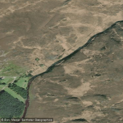
Gweebarra
- Boat Ramps
- 0
- Access Points
- 0
- Campsites
- 0
The River Gweebarra (Abhainn Ghaoth Beara in Irish) runs approximately 32 kilometres through the unspoiled countryside of west County Donegal, flowing southwest from Lough Barra through a valley between the Derryveagh Mountains and the Glendowan Mountains before widening and emptying into Gweebarra Bay and ultimately the Atlantic Ocean. The river is crossed by the R252 near Doocharry and by the N56 just south of Lettermacaward, both of which offer access points. The N56 viewpoint between Ardara and Dungloe provides free parking and a panoramic view of the river's outfall into the bay.
Irish Whitewater rates the upper river section at Grade 3–5 over approximately 10 kilometres, with at least one documented Grade 4/5 rapid. A video from February 2009 shows this rapid being run by a kayaker, indicating the upper river is a serious whitewater environment suited to experienced paddlers. The lower river and estuary offer a markedly different character, with the 9-mile tidal estuary providing calmer water suitable for kayaking, canoeing, and stand-up paddleboarding. Tidal planning is important in the estuary; the Irish Marine Forecast is recommended for timing passages, particularly around Inishkeel Island, which is only accessible on foot at low tide.
The surrounding landscape includes the Lough Barra Bog Nature Reserve, a lowland blanket bog that supports Greenland White-fronted Geese, merlin, and golden plover. The estuary hosts sand goby, flounder, plaice, and turbot, while oystercatchers and curlews frequent the tidal flats. The river itself is well known for brown trout, salmon, and sea trout, with grilse arriving in June and larger salmon from August.
Atlantic weather conditions in this part of Donegal can change rapidly, and paddlers should carry appropriate gear and maintain awareness of local forecasts. The river is an active salmon and trout fishery with a formal permit system and designated beats; paddlers sharing the water with anglers should be aware of this activity, particularly during the fishing season from 1 April to 30 September.
Water access, boat ramps & amenities
Learn how to get on Gweebarra. Uncover great paddling access points, boat ramps, and all the facilities you need for an unforgettable day on the water. Some locations shown may border or include private property. Always check property boundaries and applicable regulations before visiting. PaddleWays's Public & Private Land layer can help you plan your access with confidence.
Paddle smarter with real-time insights
Whether you're en route and conditions shift or you're looking for the best spot based on current flows, we enable you to make informed decisions on the fly.







Co. Donegal licenses and regulations
No licenses or regulations available for Co. Donegal.
Find Places to Paddle

Over 400,000 Places to Paddle
Every user gets free access to launch points, boat ramps, and public property parcels.


Water and weather conditions (10 day forecast)
See the best times to paddle Gweebarra and check the forecast before you go.
No forecast data available.
Paddling near Gweebarra
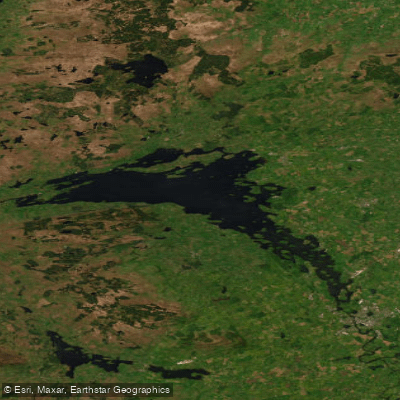
Lower Lough Erne
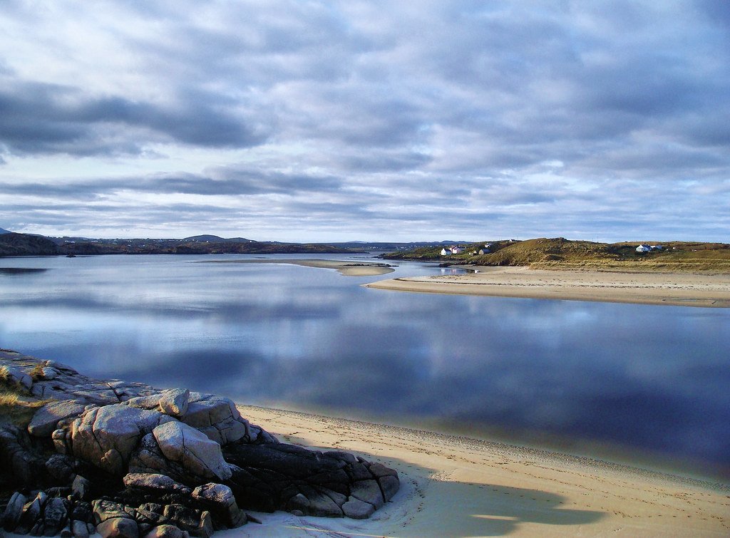
Gweedore Bay
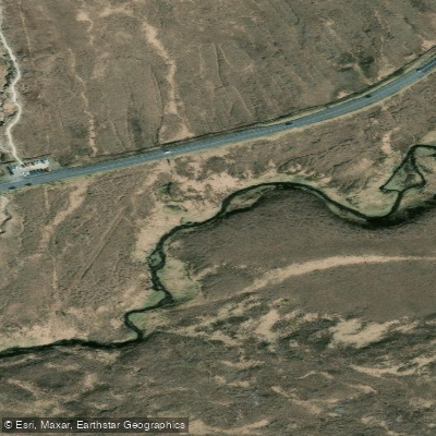
Owenwee [Dunlewy]
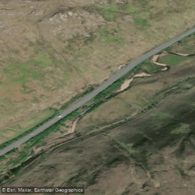
Lowerymore
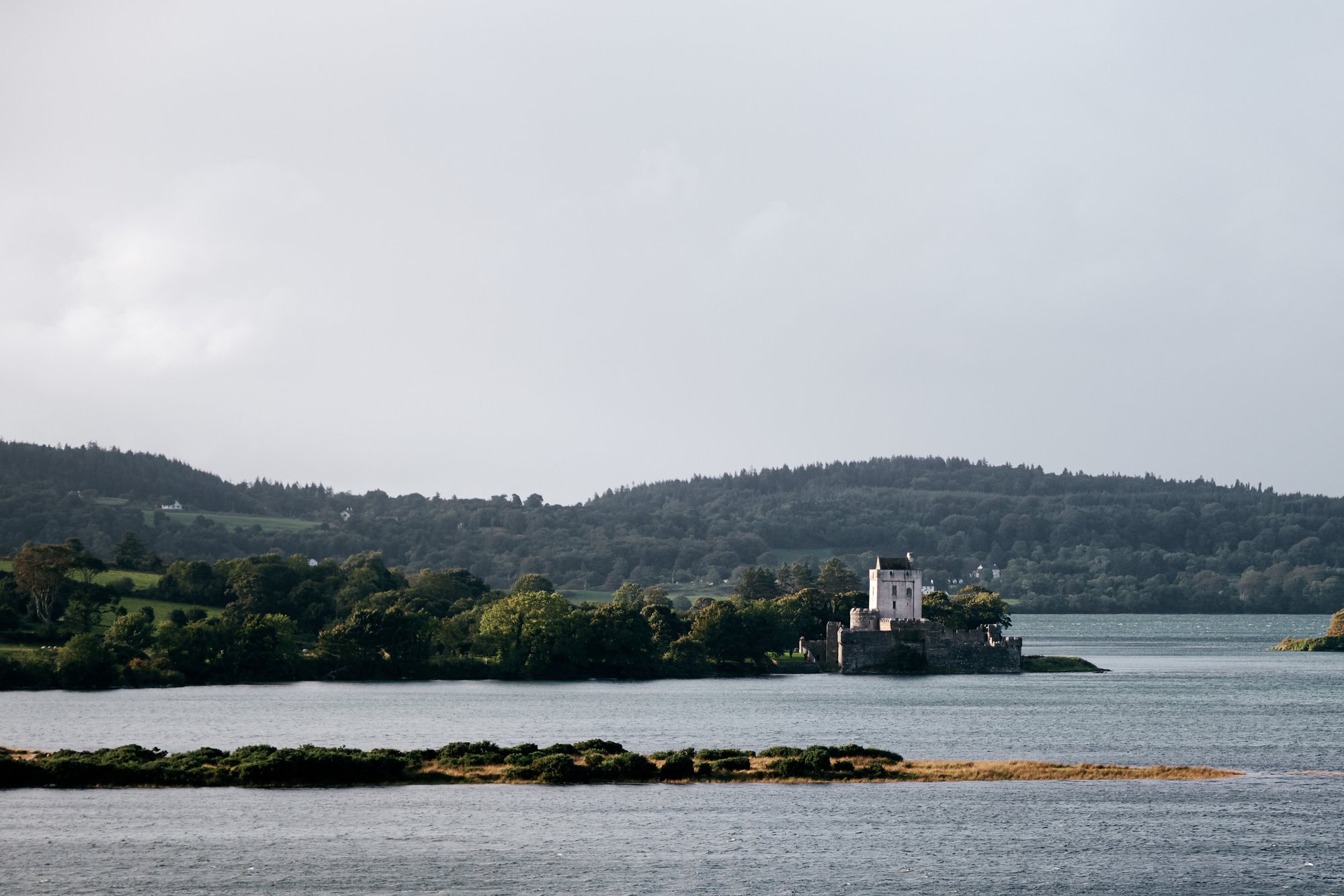
Sheephaven Bay
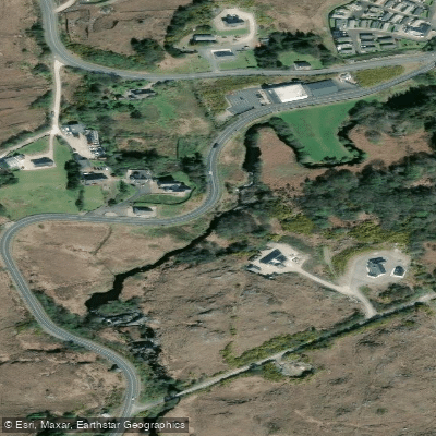
Gweedore
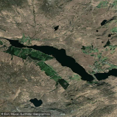
Lough Nacung
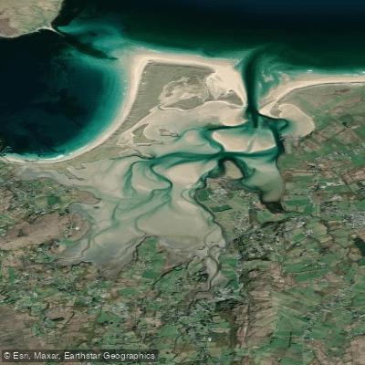
Ballyness Bay
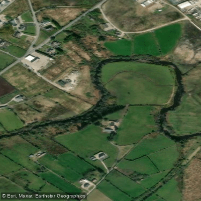
Crana
Explore Donegal waters
Top paddling waters
No waters available right now.
Popular Cities
Loading popular cities...
Explore near Gweebarra
More in Co. Donegal

Smarter Paddling Starts in the App.
Paddleways gives you everything you need to plan smarter, paddle better, and own every trip from first launch to takeout.