Lower Lough Erne
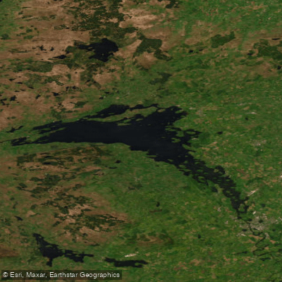
Lower Lough Erne
- Boat Ramps
- 0
- Access Points
- 0
- Campsites
- 3
Lower Lough Erne is the northern section of the two-lake Erne system in County Fermanagh, Northern Ireland, connected to Upper Lough Erne via the River Erne through Enniskillen. Known locally as the "broad lough," it is a vast, open expanse of water with a rugged shoreline, and it forms part of the 42-mile Lough Erne Canoe Trail — one of the most popular canoe trails in Northern Ireland. Access to the water is free and no licence is required for paddling.
The defining characteristic of Lower Lough Erne for paddlers is its exposure. Unlike the sheltered Upper Lough with its maze of islands and narrow channels, the Lower Lough is wide and open, capable of generating large waves during windy conditions. This makes it suitable for experienced paddlers only, particularly north of the Rossigh Access Point. Wind direction is a far more significant factor than water flow when planning a route, and paddlers should select their course according to prevailing conditions. The Erne system flows south to north — from Upper to Lower Lough — but the current on the lough sections is negligible.
The trail's numbered access points run from Muckross on the Lower Lough to Crom Estate on the Upper Lough, and the trail can be paddled in either direction. Because many routes allow paddlers to start and finish at the same location, shuttles are generally not required, though local hire providers can assist with logistics. Canoe, kayak, and other watercraft hire is available through operators such as Castle Archdale Boat Hire & Watersports.
Notable landmarks on and around Lower Lough Erne include Devenish Island, home to an 81-foot 12th-century round tower that serves as a visible navigation aid from the water. The island was founded as a monastic settlement by Saint Molaise in the 6th century and was historically a centre of cultural and spiritual life in Fermanagh. Boa Island and White Island feature enigmatic Celtic stone carvings, and the area around Belleek and Castle Caldwell offers additional historical interest. A wild campsite is available at Trory, near Devenish Island.
The broader Erne system connects southward to the Shannon–Erne Waterway, making it possible to extend a paddle trip as far as Limerick for those undertaking longer expeditions.
Water access, boat ramps & amenities
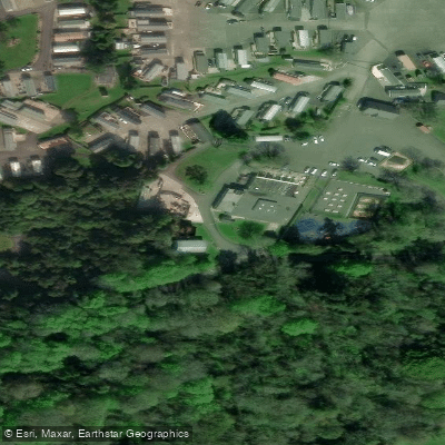
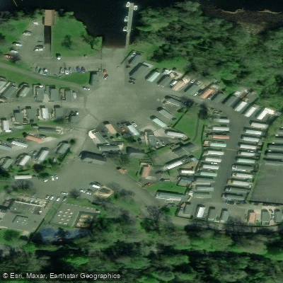
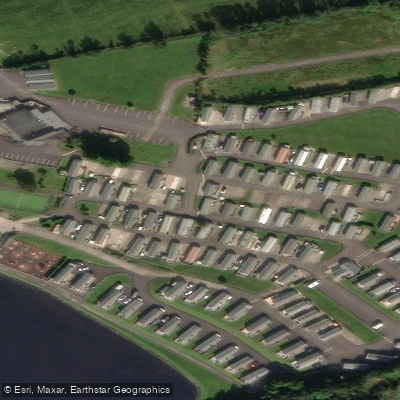
Learn how to get on Lower Lough Erne. Uncover great paddling access points, boat ramps, and all the facilities you need for an unforgettable day on the water. Some locations shown may border or include private property. Always check property boundaries and applicable regulations before visiting. PaddleWays's Public & Private Land layer can help you plan your access with confidence.
Paddle smarter with real-time insights
Whether you're en route and conditions shift or you're looking for the best spot based on current flows, we enable you to make informed decisions on the fly.







Co. Donegal licenses and regulations
No licenses or regulations available for Co. Donegal.
Find Places to Paddle

Over 400,000 Places to Paddle
Every user gets free access to launch points, boat ramps, and public property parcels.


Water and weather conditions (10 day forecast)
See the best times to paddle Lower Lough Erne and check the forecast before you go.
No forecast data available.
Paddling near Lower Lough Erne

Shannon [Upper]
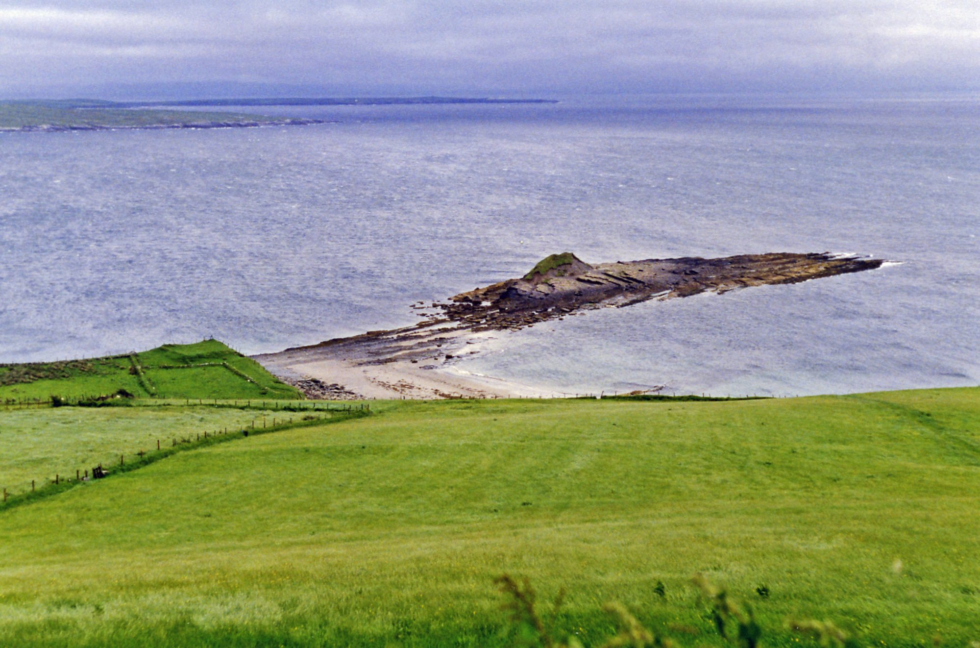
Donegal Bay
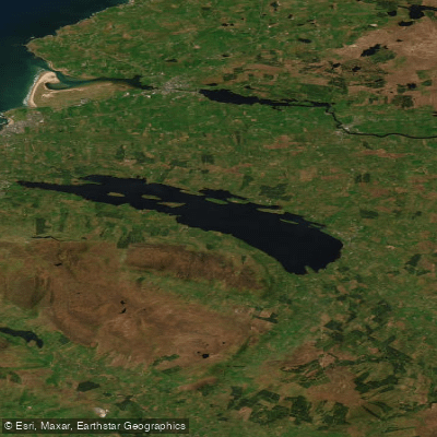
Lough Melvin
Duff
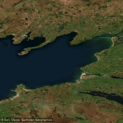
Donegal Bay (Erne)
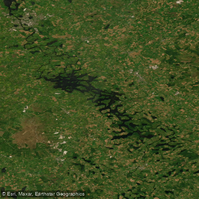
Erne (Lough) (Upper)
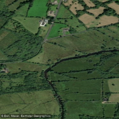
Bonet
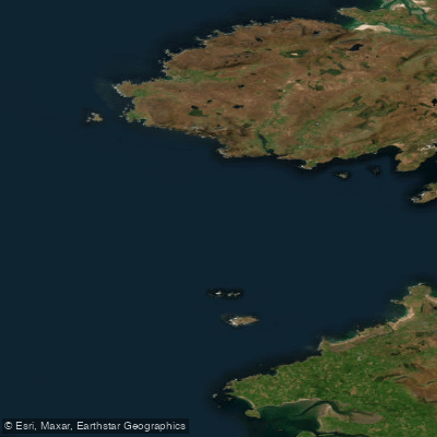
Donegal Bay Northern
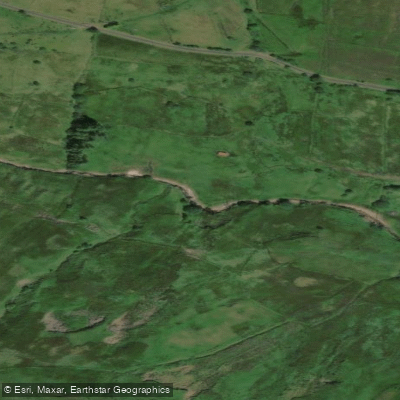
Glenaniff
Explore Donegal waters
Top paddling waters
No waters available right now.
Popular Cities
Loading popular cities...
Explore near Lower Lough Erne

Smarter Paddling Starts in the App.
Paddleways gives you everything you need to plan smarter, paddle better, and own every trip from first launch to takeout.