Lowerymore
Lowerymore
- Boat Ramps
- 0
- Access Points
- 0
- Campsites
- 0
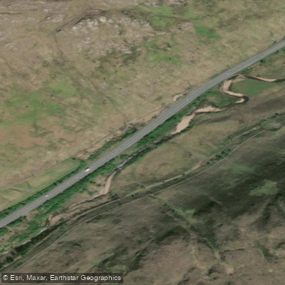
The Lowerymore River is a short whitewater run located in County Donegal, Ulster, graded at 3 to 4 and covering approximately 0.5 kilometres. The river features two distinct channels through a steep, partially man-made gorge section, with the river right route being the more commonly described line.
The river right channel begins with a set of 6 man-made steps leading into a natural gorge, followed by a further 9 steeper man-made steps that are closer together. In this lower section, the steps are more demanding — there is a risk of hitting the next wall if a paddler does not boof sufficiently, though the highly aerated water makes it difficult to keep a boat from submerging. After the steps, the run finishes with an easy paddle to the take-out. A river left channel also exists, featuring a drop and slide sequence.
To assess water levels, paddlers should inspect the top 6 steps of the right channel: if there is sufficient water flowing over the tongues, the run is considered runnable and enjoyable. At low to medium levels, the pour-overs are not particularly powerful due to the aerated nature of the water. In high water, conditions are less well-documented and should be treated with caution. Paddlers are advised to scout from both the top and bottom of the gorge before running, as much of the line is hidden from a single vantage point and requires some scrambling to inspect properly.
The put-in is located on the N15, the main road between Donegal Town and Ballybofey, approximately 2 kilometres southwest of Barnesmore Gap. A set of large steel gates at a disused picnic area serves as both the put-in and an access point. The take-out is at the hydro building, where the two channels converge.
Potential hazards include trees and flood debris, particularly in higher water. Fishermen may be present during fishing season, and paddlers should be aware of this. No access issues related to the hydro facility are known. The GPS coordinates for the put-in are approximately 54.6911° N, 8.0110° W.
Water access, boat ramps & amenities
Learn how to get on Lowerymore. Uncover great paddling access points, boat ramps, and all the facilities you need for an unforgettable day on the water. Some locations shown may border or include private property. Always check property boundaries and applicable regulations before visiting. PaddleWays's Public & Private Land layer can help you plan your access with confidence.
Paddle smarter with real-time insights
Whether you're en route and conditions shift or you're looking for the best spot based on current flows, we enable you to make informed decisions on the fly.







Co. Donegal licenses and regulations
No licenses or regulations available for Co. Donegal.
Find Places to Paddle

Over 400,000 Places to Paddle
Every user gets free access to launch points, boat ramps, and public property parcels.


Water and weather conditions (10 day forecast)
See the best times to paddle Lowerymore and check the forecast before you go.
No forecast data available.
Paddling near Lowerymore
Lower Lough Erne

Shannon [Upper]
Donegal Bay (Erne)
Lough Melvin
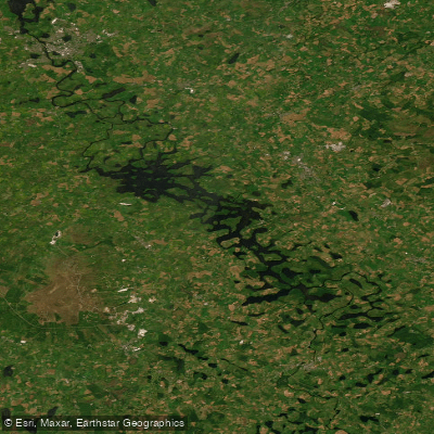
Erne (Lough) (Upper)
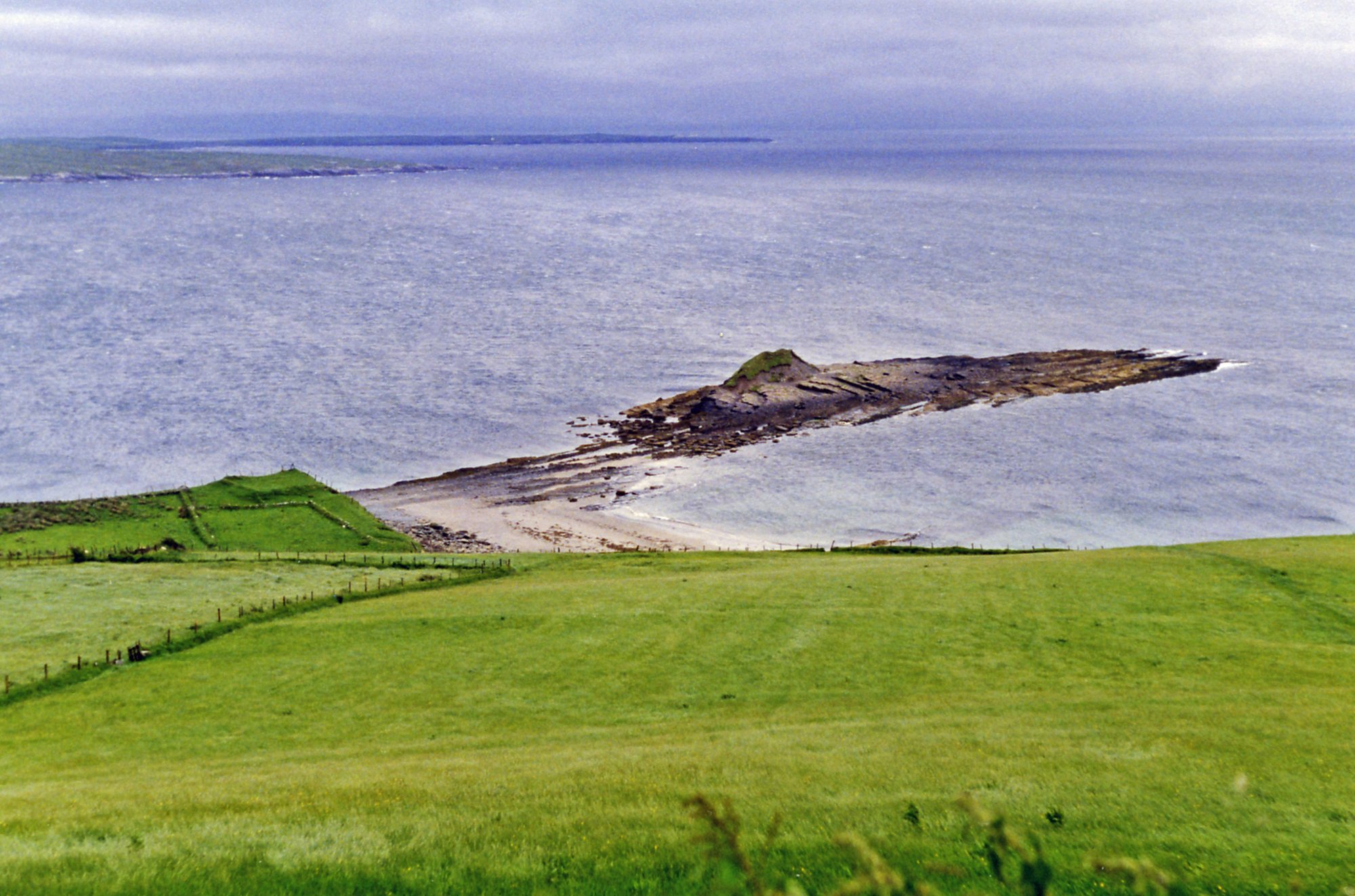
Donegal Bay
Duff
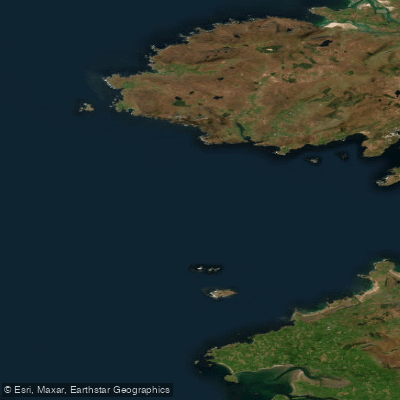
Donegal Bay Northern
Bonet
Explore Donegal waters
Top paddling waters
No waters available right now.
Popular Cities
Loading popular cities...
Explore near Lowerymore

Smarter Paddling Starts in the App.
Paddleways gives you everything you need to plan smarter, paddle better, and own every trip from first launch to takeout.