Lough Nacung
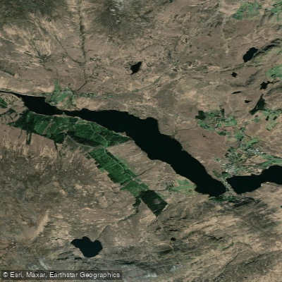
Lough Nacung
- Boat Ramps
- 0
- Access Points
- 0
- Campsites
- 0
Lough Nacung Upper (Irish: Loch na Cuinge Uachtarach, meaning "upper lake of the isthmus" or "upper narrowness lake") is a natural freshwater lake in Gweedore, in the north-west of County Donegal, Ireland. The lake sits at a surface elevation of 59 metres (194 feet) and covers approximately 2.08 km² (0.80 sq mi), with a maximum length of 2.72 miles (4.38 km) and a maximum width of 0.38 miles (0.61 km). Its shoreline extends roughly 7.17 miles. The name reflects its geographical position as a narrow connecting body of water, linking Lough Dunlewey to the east with Lough Nacung Lower to the west, which in turn drains into the Clady River. The catchment area is 78.62 km².
The lake is designated a Special Area of Conservation, a status that may carry implications for access and use. Paddlers should be aware that the Lakeside Centre in Dunlewy operates boat hire on the connected water system, and a fee is charged for use of the water. The Lakeside Centre is a practical reference point for anyone planning a trip in the area.
The surrounding landscape includes views toward Errigal, the prominent quartzite peak that dominates the Donegal skyline to the south-east. The principal fish species are sea trout and salmon, with runs typically beginning from mid-June onward, and brown trout present throughout. The fishing season runs from February to October, and during this period paddlers should be aware of angling activity on the water, particularly fly fishing and dapping, which are the primary methods used.
A Facebook paddling group post references Lough Dunlewey and Lough Nacung together as a paddling destination, suggesting the two connected lakes are explored as a combined route. Given the lake's elongated shape and its position as a link in a chain of connected loughs, a linear paddle from Lough Dunlewey through Lough Nacung Upper toward Lough Nacung Lower is a natural route option. The coordinates for the lake are approximately 55°01′55″N, 8°09′58″W.
Water access, boat ramps & amenities
Learn how to get on Lough Nacung. Uncover great paddling access points, boat ramps, and all the facilities you need for an unforgettable day on the water. Some locations shown may border or include private property. Always check property boundaries and applicable regulations before visiting. PaddleWays's Public & Private Land layer can help you plan your access with confidence.
Paddle smarter with real-time insights
Whether you're en route and conditions shift or you're looking for the best spot based on current flows, we enable you to make informed decisions on the fly.







Co. Donegal licenses and regulations
No licenses or regulations available for Co. Donegal.
Find Places to Paddle

Over 400,000 Places to Paddle
Every user gets free access to launch points, boat ramps, and public property parcels.


Water and weather conditions (10 day forecast)
See the best times to paddle Lough Nacung and check the forecast before you go.
No forecast data available.
Paddling near Lough Nacung
Gweebarra
Lower Lough Erne
Gweedore Bay
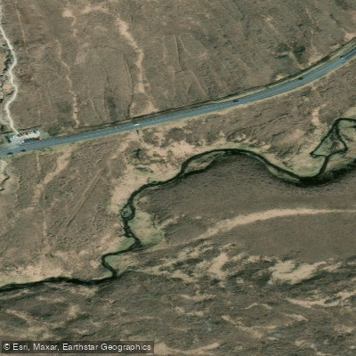
Owenwee [Dunlewy]
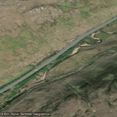
Lowerymore
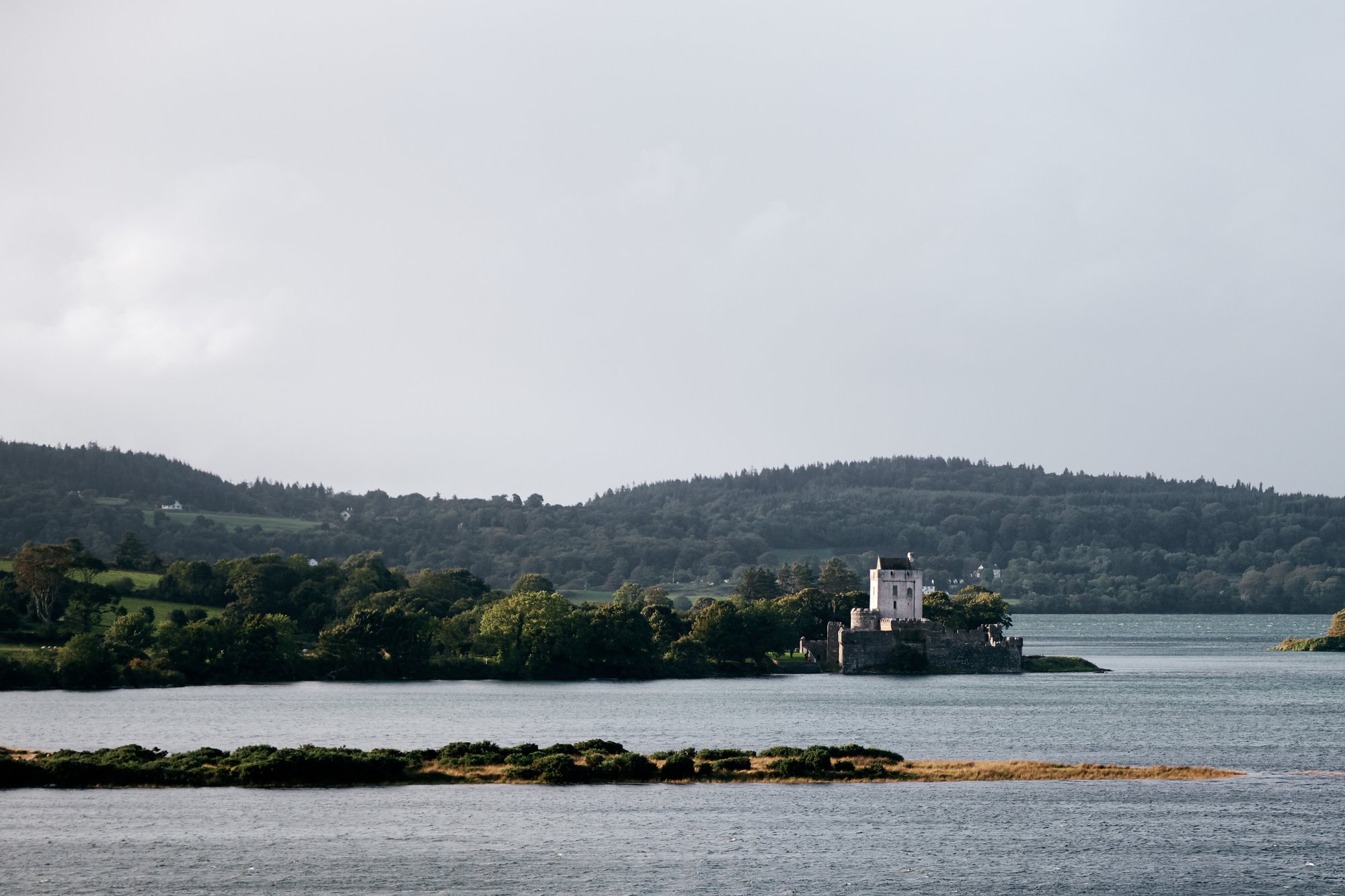
Sheephaven Bay
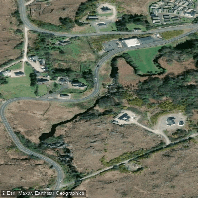
Gweedore
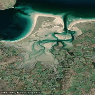
Ballyness Bay
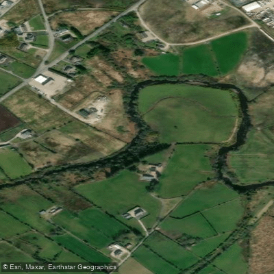
Crana
Explore Donegal waters
Top paddling waters
No waters available right now.
Popular Cities
Loading popular cities...
Explore near Lough Nacung
More in Co. Donegal

Smarter Paddling Starts in the App.
Paddleways gives you everything you need to plan smarter, paddle better, and own every trip from first launch to takeout.