Cummeragh
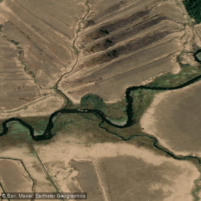
Cummeragh
- Boat Ramps
- 0
- Access Points
- 0
- Campsites
- 0
The Cummeragh River is a short waterway in County Kerry on the southwest coast of Ireland, flowing south-westerly for roughly 8.5 km before emptying into Lough Currane near the coastal village of Waterville. The river cuts through the Cummeragh River Bog Nature Reserve, a 45.55-hectare lowland blanket bog established as a protected area in 1984 and recognised as the most southerly intact example of its type in Ireland. The bog is almost completely encircled by the Cummeragh River and a tributary, and is state-owned by the National Parks and Wildlife Service.
The paddling character ranges from grade 2 to 3+ rapids in the upper and middle sections, transitioning to a final flat-water crossing of Lough Currane. The total paddling distance is approximately 3.8 km of moving water plus 1.4 km of flat water on the lough. The put-in is at Cahersavane Bridge (GPS 51.864305, -10.090835), with the launch point just upstream. The take-out is at the fishermen's car park beside Lough Currane (GPS 51.843417, -10.129674). The river is accessed via the N70 — turn into Waterville village and follow the local road running alongside Lough Currane. A small public car park off the local road also provides access.
No formal permit is required for kayaking, though paddlers are asked to respect private land and observe parking signage. Paddling is possible year-round, subject to water levels. Mobile signal can be patchy across the bog, so carrying a GPS-enabled map or a printed copy of OS Map No. 83 is advisable.
The nature reserve supports curlews nesting on the bog, and the two rivers bordering the reserve contain spawning beds for sea trout. The bog itself features a well-developed pattern of hummocks and pools with a mature vegetation cover. Anglers also use the river for salmon and sea trout fishing during the season, so paddlers should be aware of other river users, particularly around Cahersivane and Cummeragh Bridges, which are noted fishing access points.
Water access, boat ramps & amenities
Learn how to get on Cummeragh. Uncover great paddling access points, boat ramps, and all the facilities you need for an unforgettable day on the water. Some locations shown may border or include private property. Always check property boundaries and applicable regulations before visiting. PaddleWays's Public & Private Land layer can help you plan your access with confidence.
Paddle smarter with real-time insights
Whether you're en route and conditions shift or you're looking for the best spot based on current flows, we enable you to make informed decisions on the fly.







Co. Kerry licenses and regulations
No licenses or regulations available for Co. Kerry.
Find Places to Paddle

Over 400,000 Places to Paddle
Every user gets free access to launch points, boat ramps, and public property parcels.


Water and weather conditions (10 day forecast)
See the best times to paddle Cummeragh and check the forecast before you go.
No forecast data available.
Paddling near Cummeragh
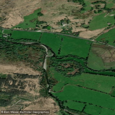
Caragh
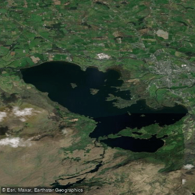
Lough Leane
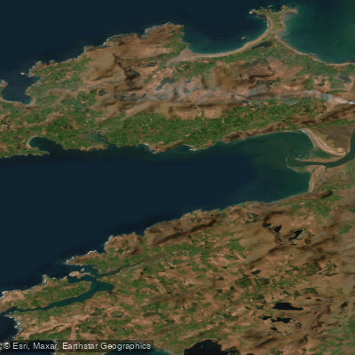
Dingle Bay - Bá an Daingin
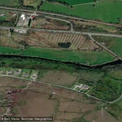
Flesk [Kerry]
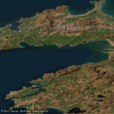
Outer Dingle Bay
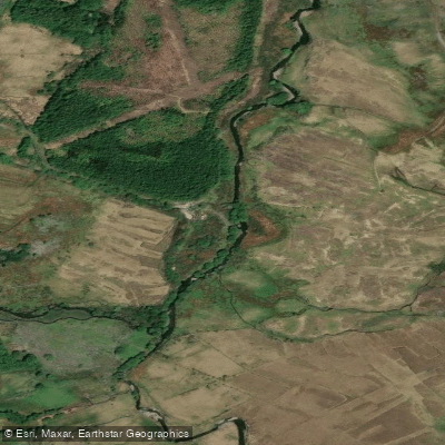
Behy [Kerry]
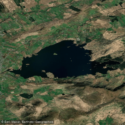
Lough Currane
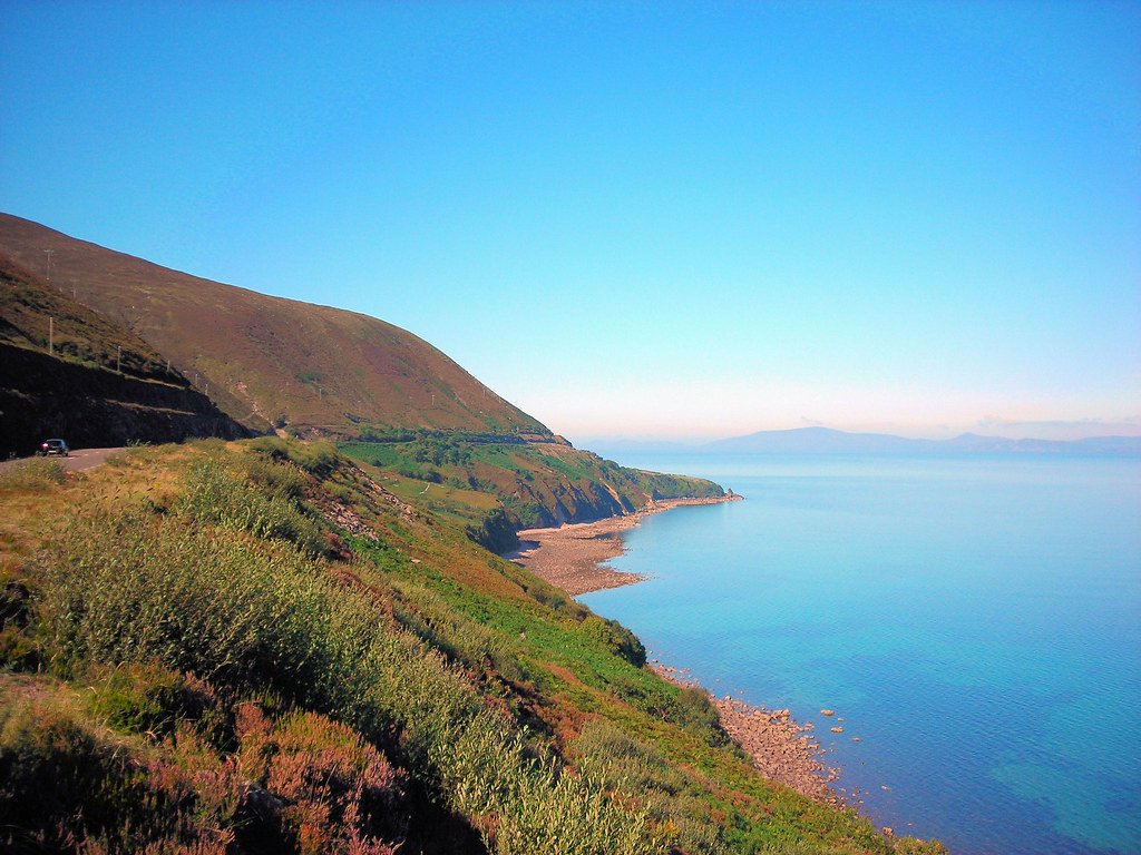
Ballinskelligs Bay
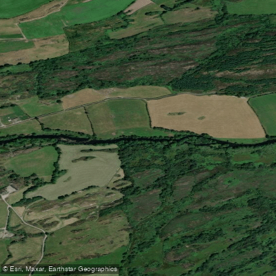
Lee [Cork]
Explore Kerry waters
Top paddling waters
No waters available right now.
Popular Cities
Loading popular cities...
Explore near Cummeragh

Smarter Paddling Starts in the App.
Paddleways gives you everything you need to plan smarter, paddle better, and own every trip from first launch to takeout.